SCT Day 8: Walt Hill to Golden Stanley
Day 8 on the Sunshine Coast Trail: we woke up to an incredible sunrise, walked along the shores of Lois Lake, and enjoyed a candlelit dinner at Golden Stanley.
Hiked September 4, 2025
Quick Overview
| Distance/ Elevation | 21km, 500m |
|---|---|
| Water Sources |
Walt Creek *seasonal (KM125) Seasonal creek (KM127) Deer Creek *seasonal (KM130.5) Eagle (Lois) River (KM136) Lois Lake access (KM141-144) Golden Stanley (KM145) |
| Other Sections |
FAQ/General Trail Information SCT Day 7: Tin Hat to Walt Hill SCT Day 9: Golden Stanley to Fairview Bay |
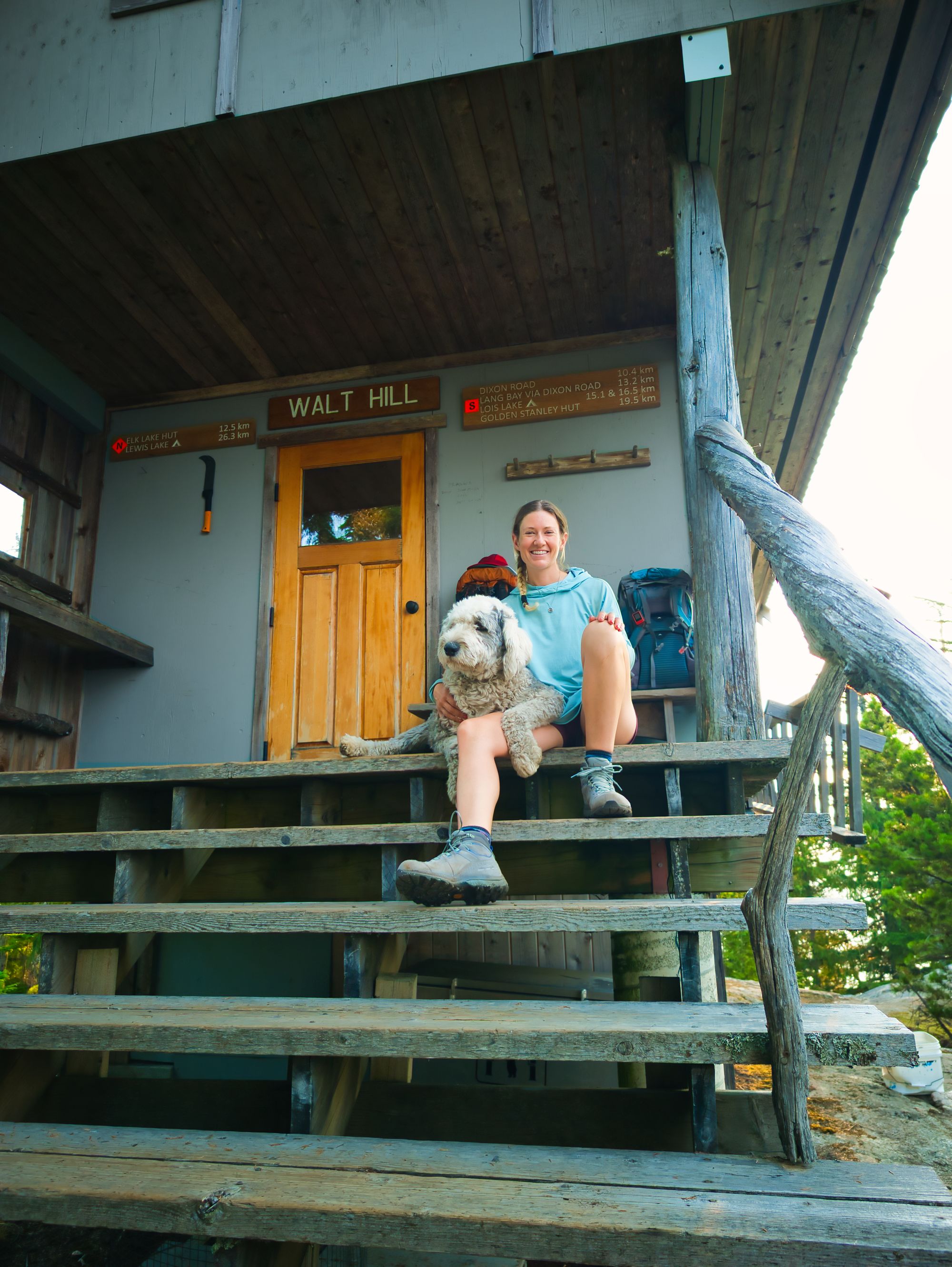
| Facilities |
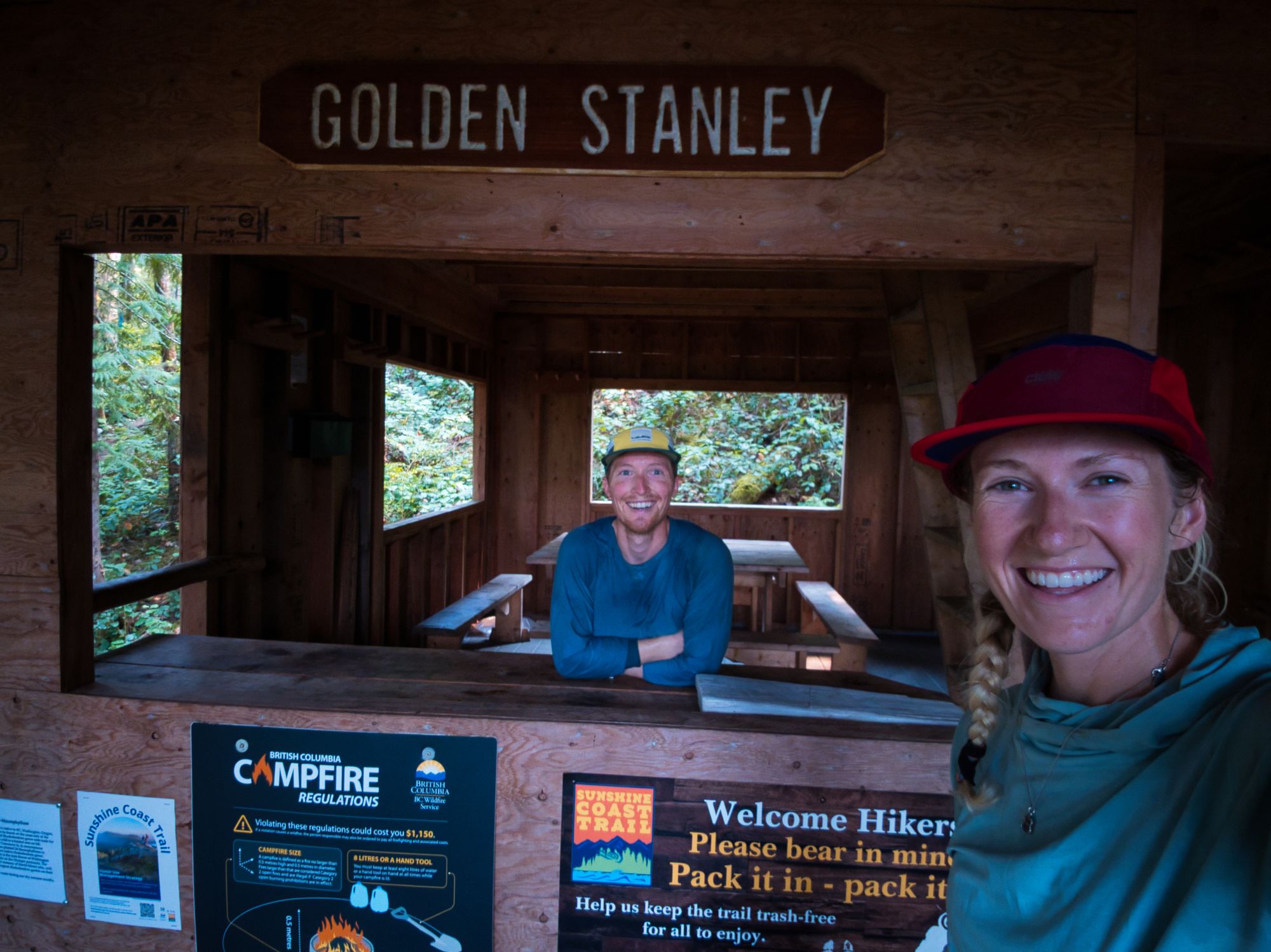
Walt Hill Hut: Fully enclosed, winterized hut. Bear cache, picnic tables, benches by viewpoints, composting outhouse. Limited spots to pitch a tent. Golden Stanley Hut: Open hut with covered porch area and stairs. The most unfinished-looking hut on the trail. Semi-enclosed main floor, but the door and window openings are just that - openings. Sleeping loft has screened windows and enclosed rafters. Bear cache, picnic table, composting outhouse. |
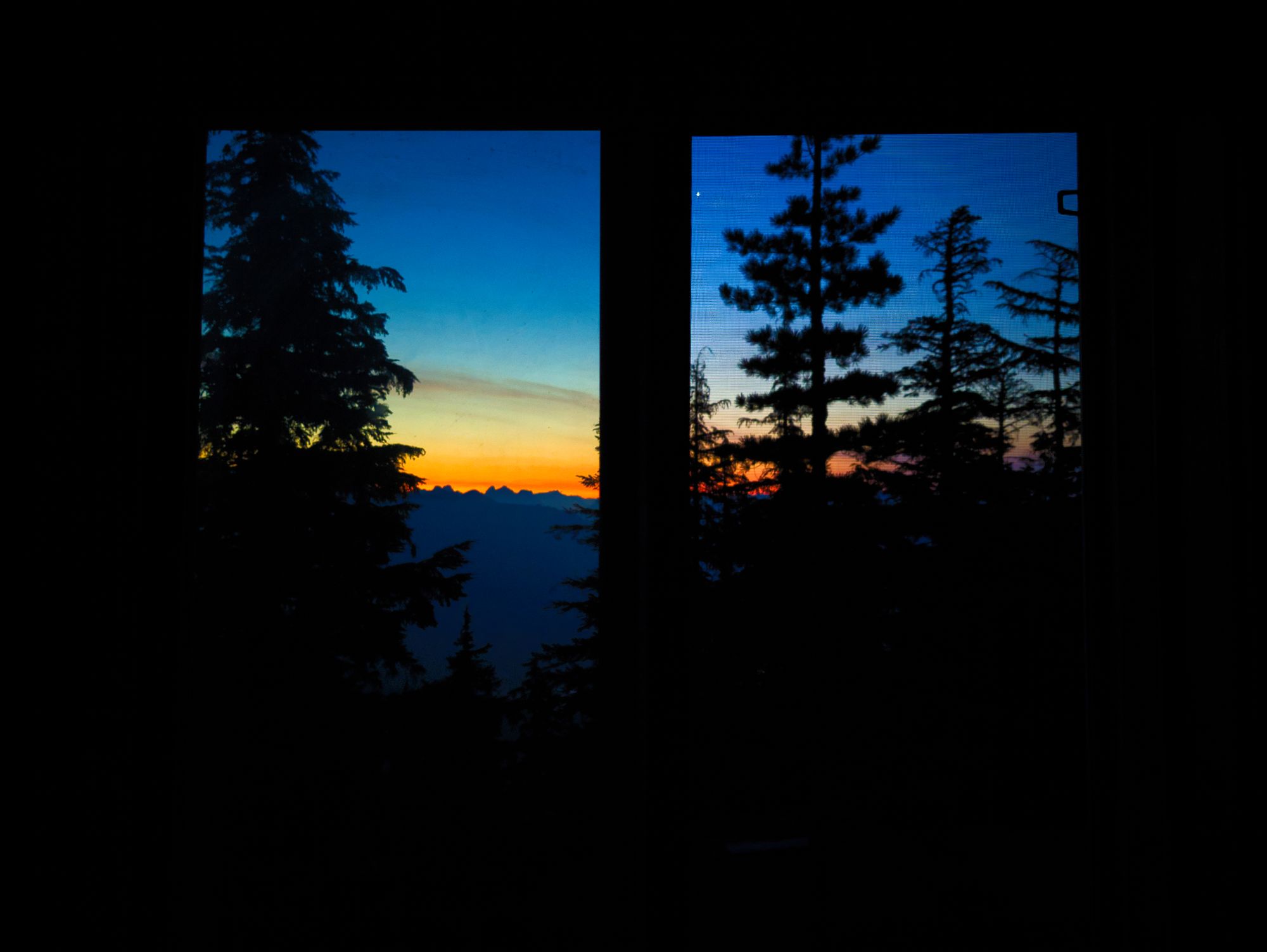
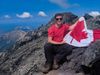
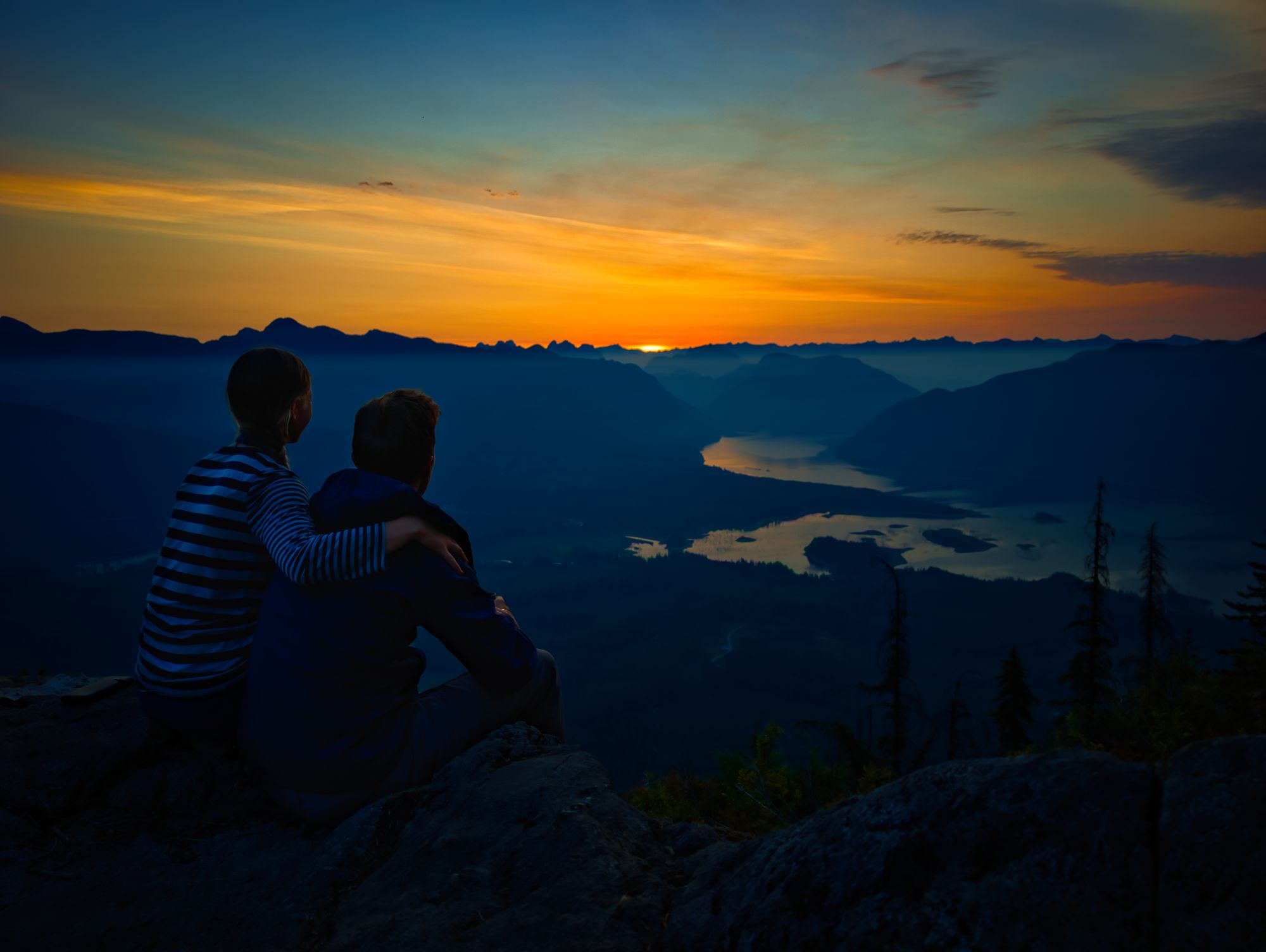
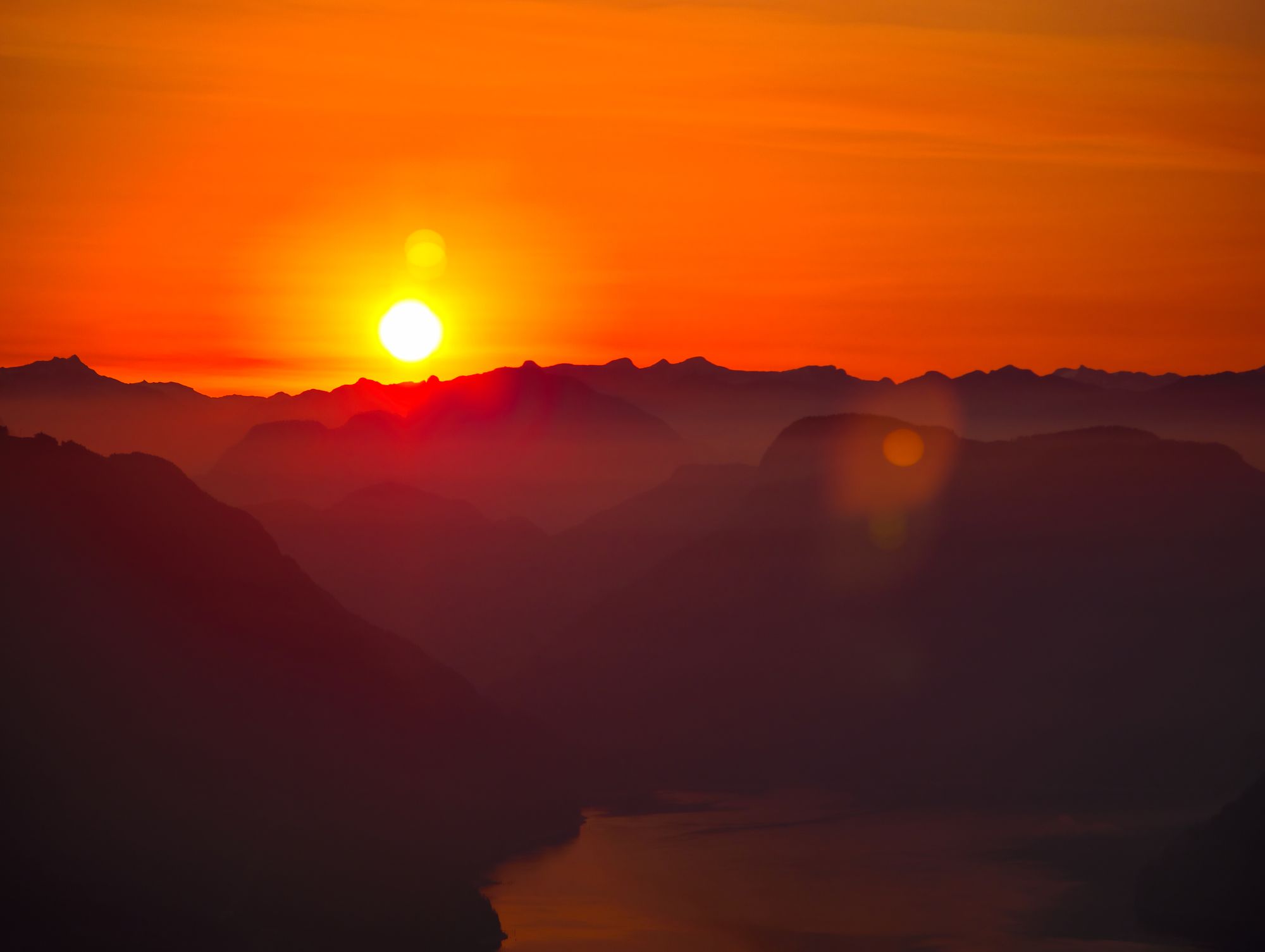
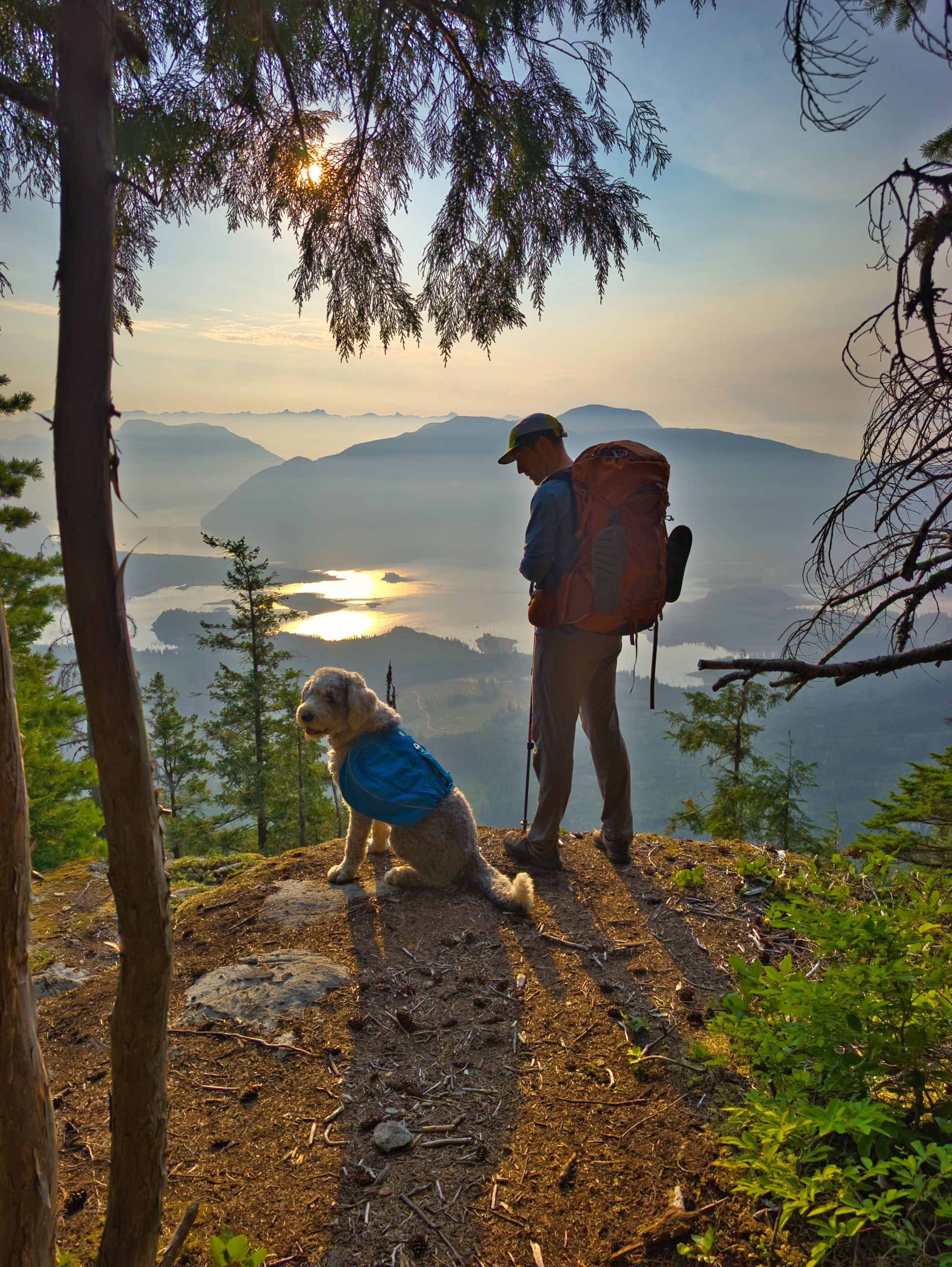
We set our alarm early to wake up for the sunrise. As we woke, the sky was beginning to turn shades of orange above the distant peaks. We worked quickly to start breakfast and packing, so that we could get to a nice viewpoint facing east just steps from the hut in time to watch the colours unfold.
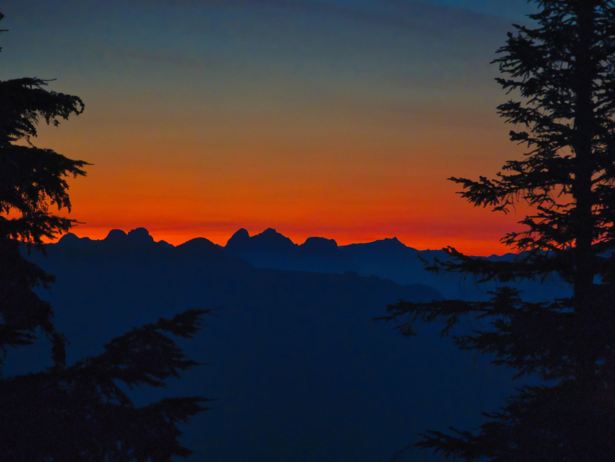
We enjoyed our coffee and tea, and scrumptious rehydrated eggs meal as the sun lit up the sky with colour and slowly peeked over the horizon. The other hikers that had gotten in late last night joined us as well, so we were able to share trail information for each other's days ahead.
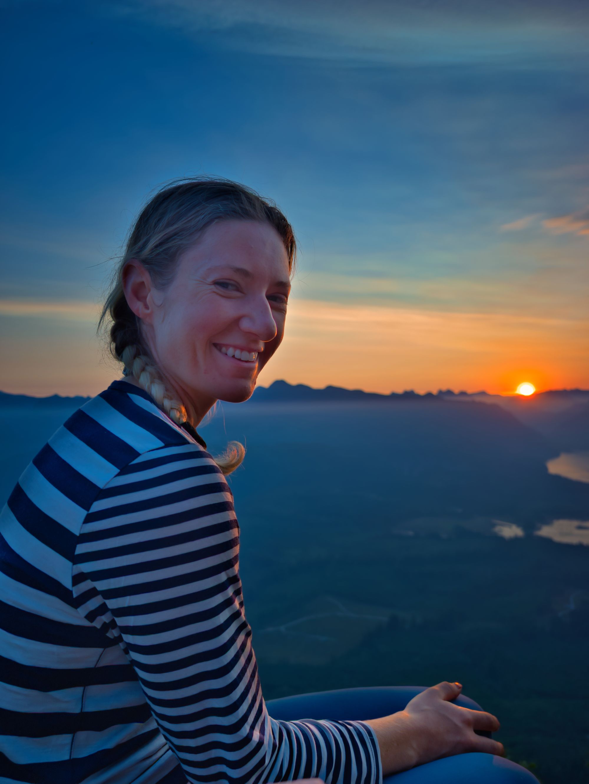
Once the sun was up and with breakfast finished, we went back to the cabin and packed in earnest, prepping for the day. We would have been off a bit earlier but Katie had discovered a small blister on her heel when we got into camp the night before, so we got that squared away before carrying on. We stepped off just before 8 for a fairly long but mostly downhill day.
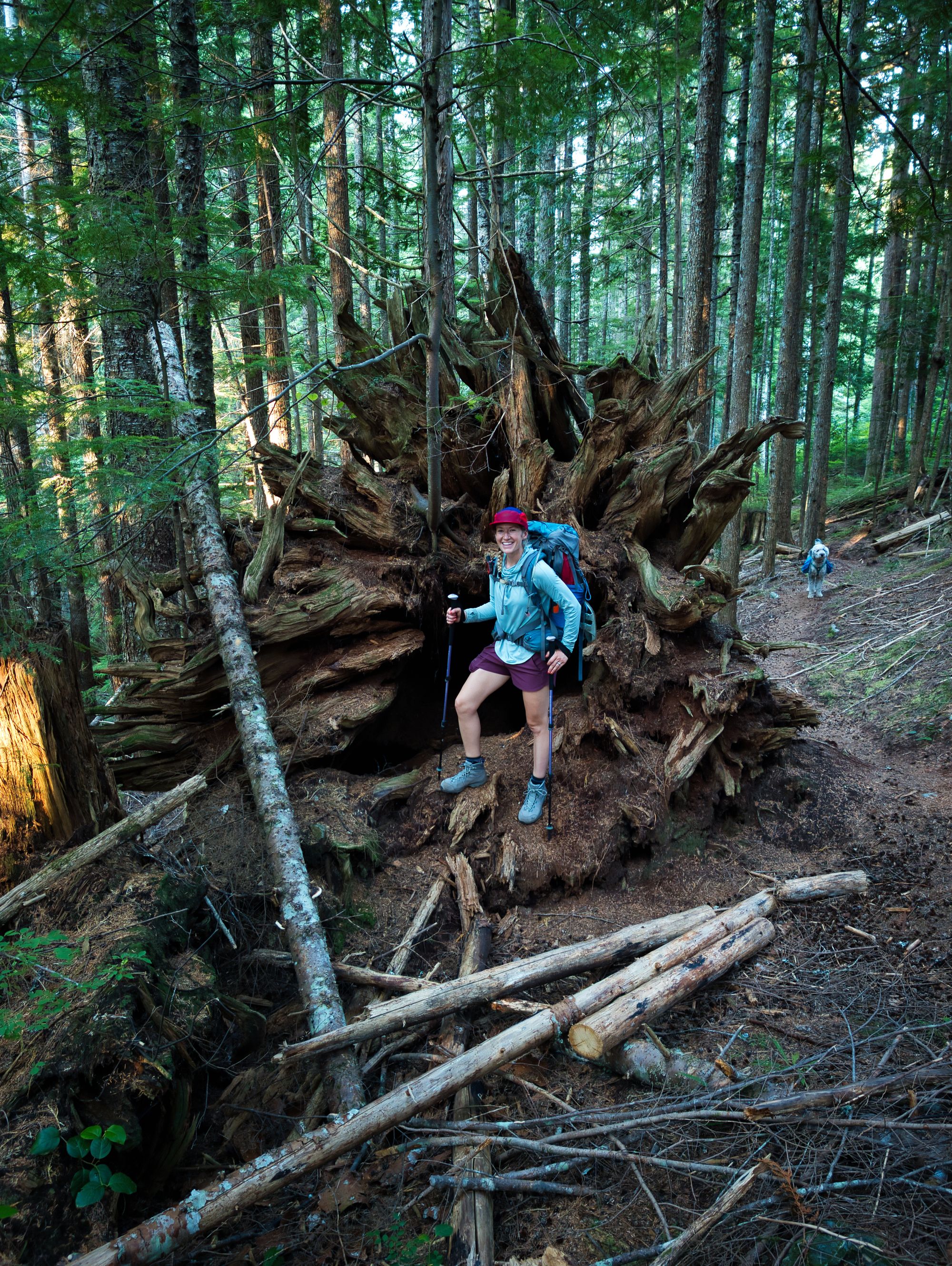
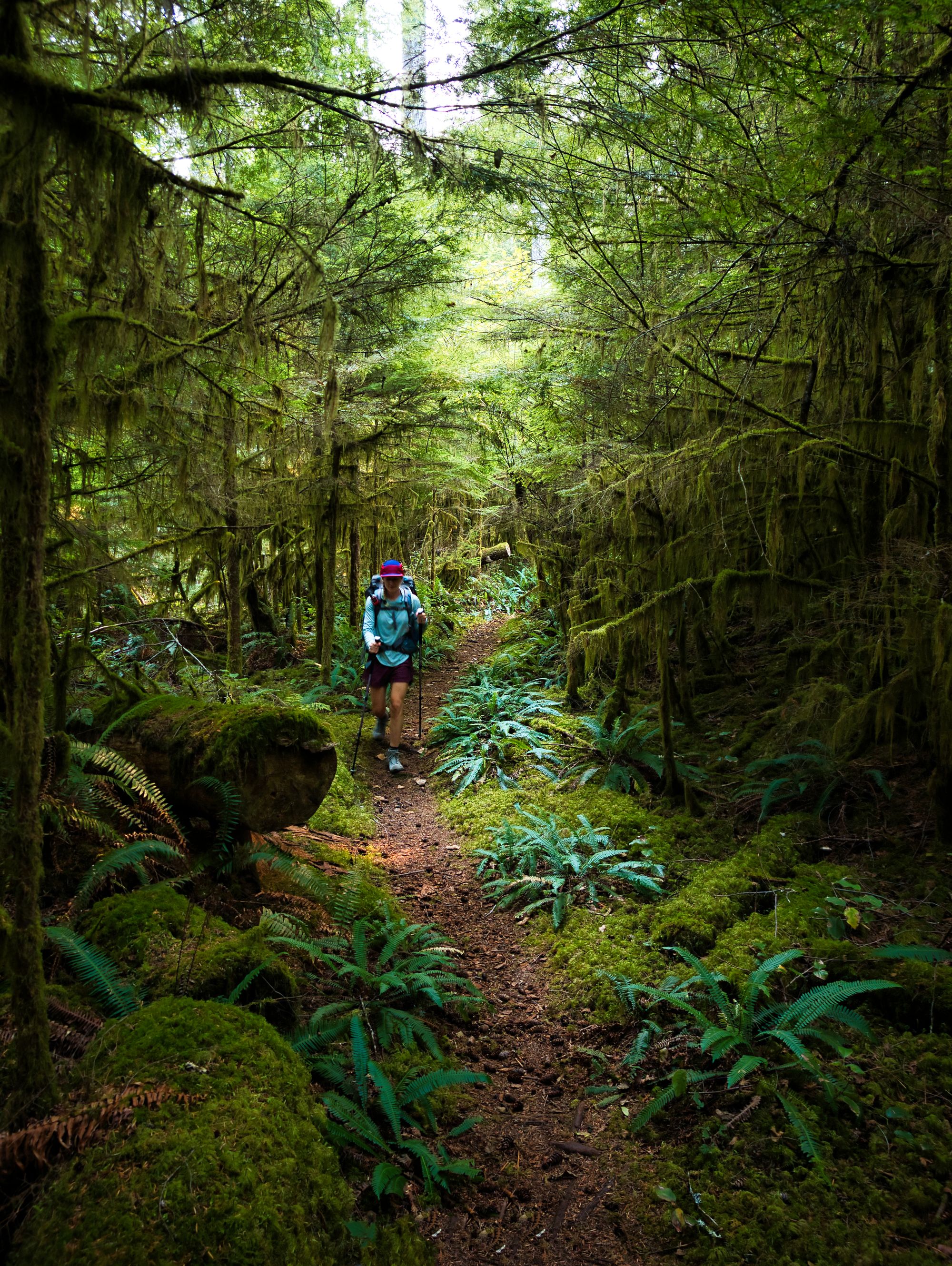
The trail switch-backed quickly down the mountain and we lost elevation rapidly. Luckily the savage descent had to end as we got lower and the trail soon leveled into a gentle descent for the remainder of the morning. We dodged cut blocks and followed small creeks through the woods along both trails and ancient logging roads. We found lots of water available in the small creeks running through the woods, which was a very big change from our previous days of hiking. We also found a rec site near Suicide Creek - a larger but not strongly flowing creek.
Suicide Creek Camp
Large area for tents; outhouse; picnic table; no bear cache.
Water source: seasonal, was stagnant in September.
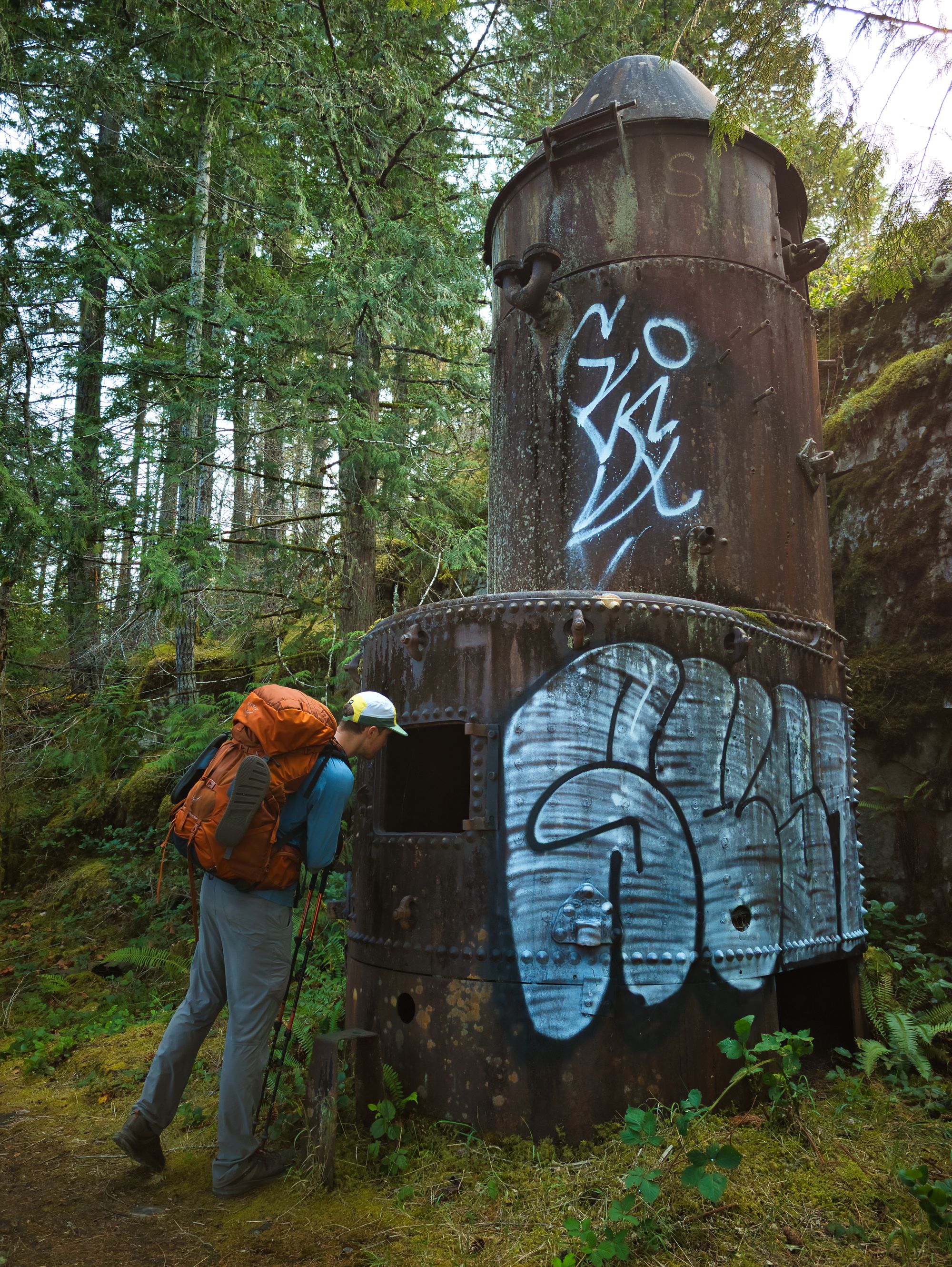
One interesting part of the morning was passing by an active logging site which was cutting trees on the hillside above us. Despite not being able to see the work well through the trees, we could sure hear the saws chopping away and trees crashing to the ground.
We met a second group of northbound hikers as we got closer to Lois Lake. They had stayed in Golden Stanley Hut, our destination today, the previous evening. They told us that water wasn't going to be a problem at all for the remainder of our time on the trail. It was great to hear that, as we were getting pretty tired of hauling water up to mountaintop cabins.
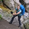
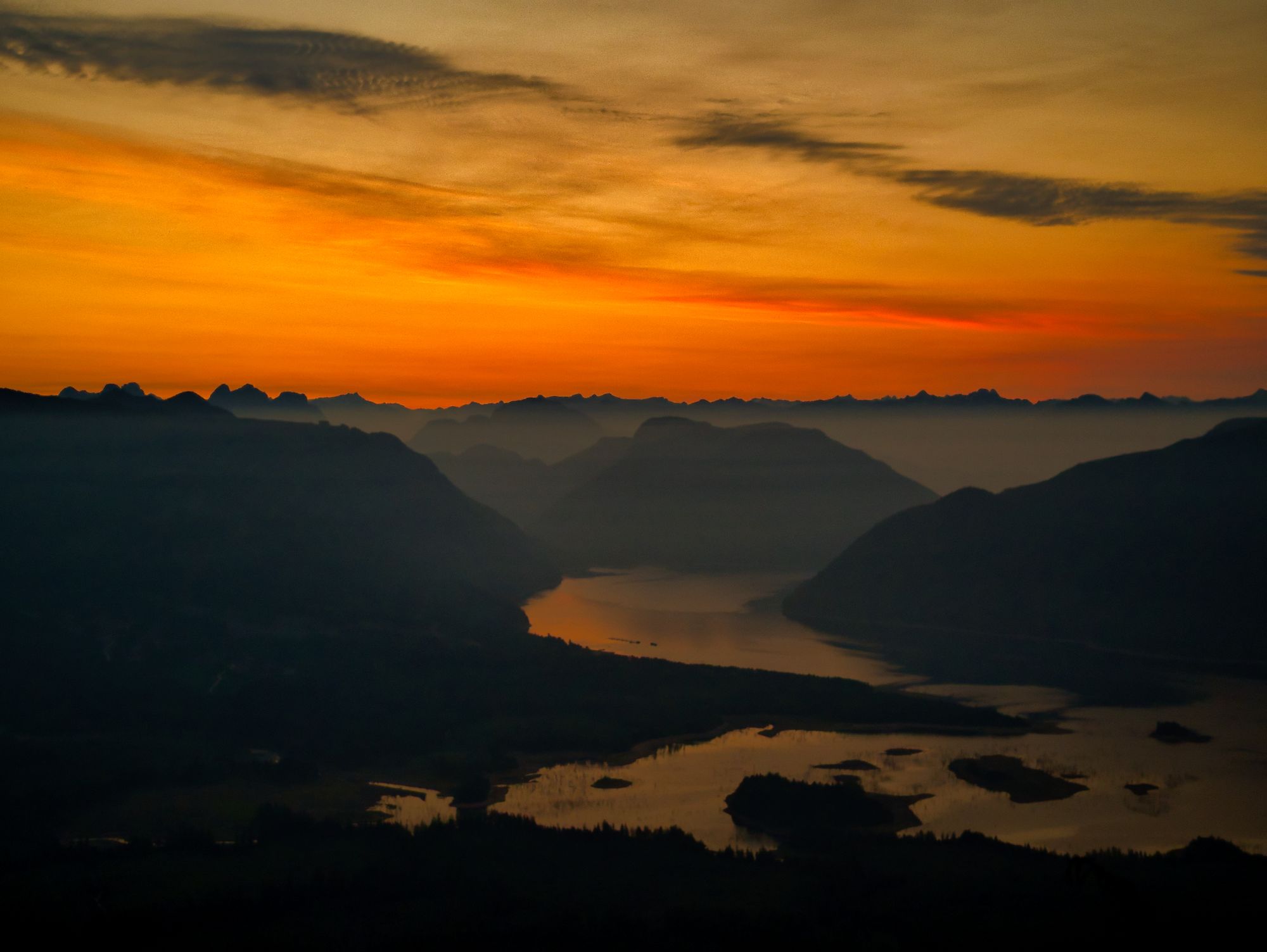
We reached Lois River (noted in some documents as Eagle River), one of the lowest elevations along the entire trail just before lunch time. It wasn't lost on us that we were about to climb to the highest point on the whole trail, Mount Troubridge... Unhappy ascent thoughts aside, we crossed the river on rocks and with still dry feet and used a fixed rope to assist our climb up the eroding southeast river bank.
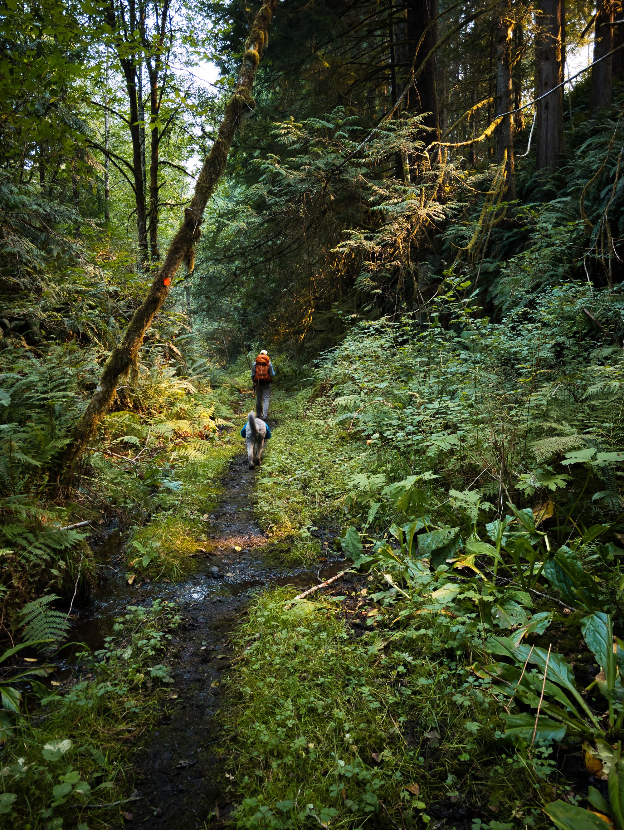
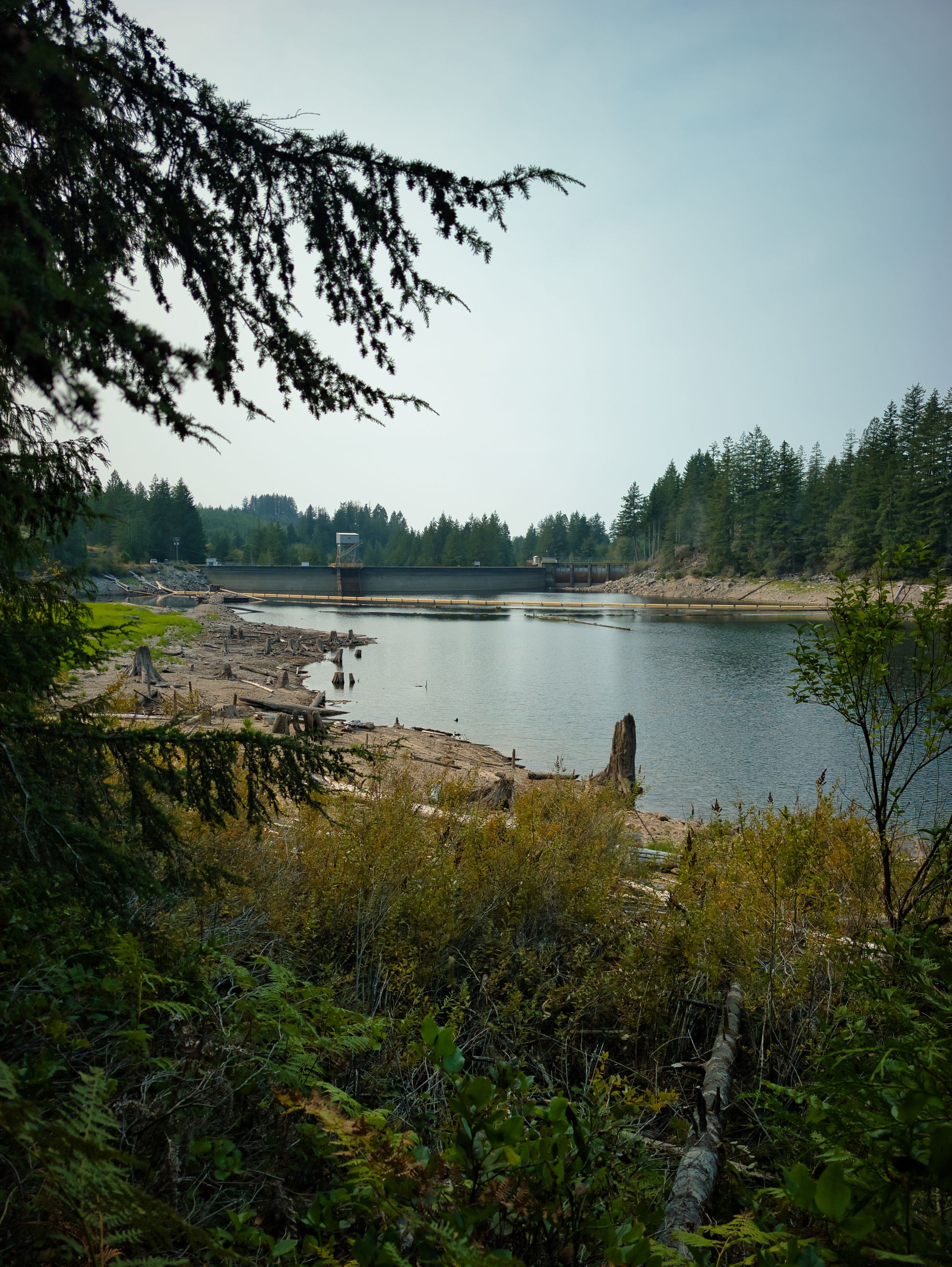
On the other side, we found another arrow-straight and smooth logging Road to begin our long climb towards Mount Troubridge over the next 2 days. We spent the next hour working our winding way eastward we generally followed the shore of Lois Lake until we reached the Lois Lake Rec Site. There we took a stop for lunch on the sandy lakeside.
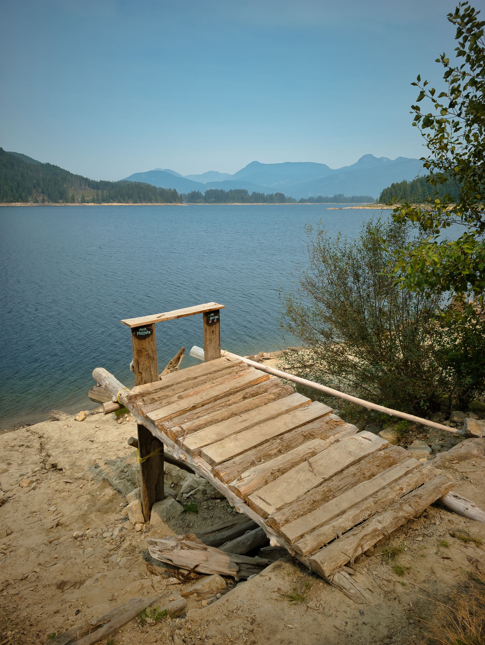
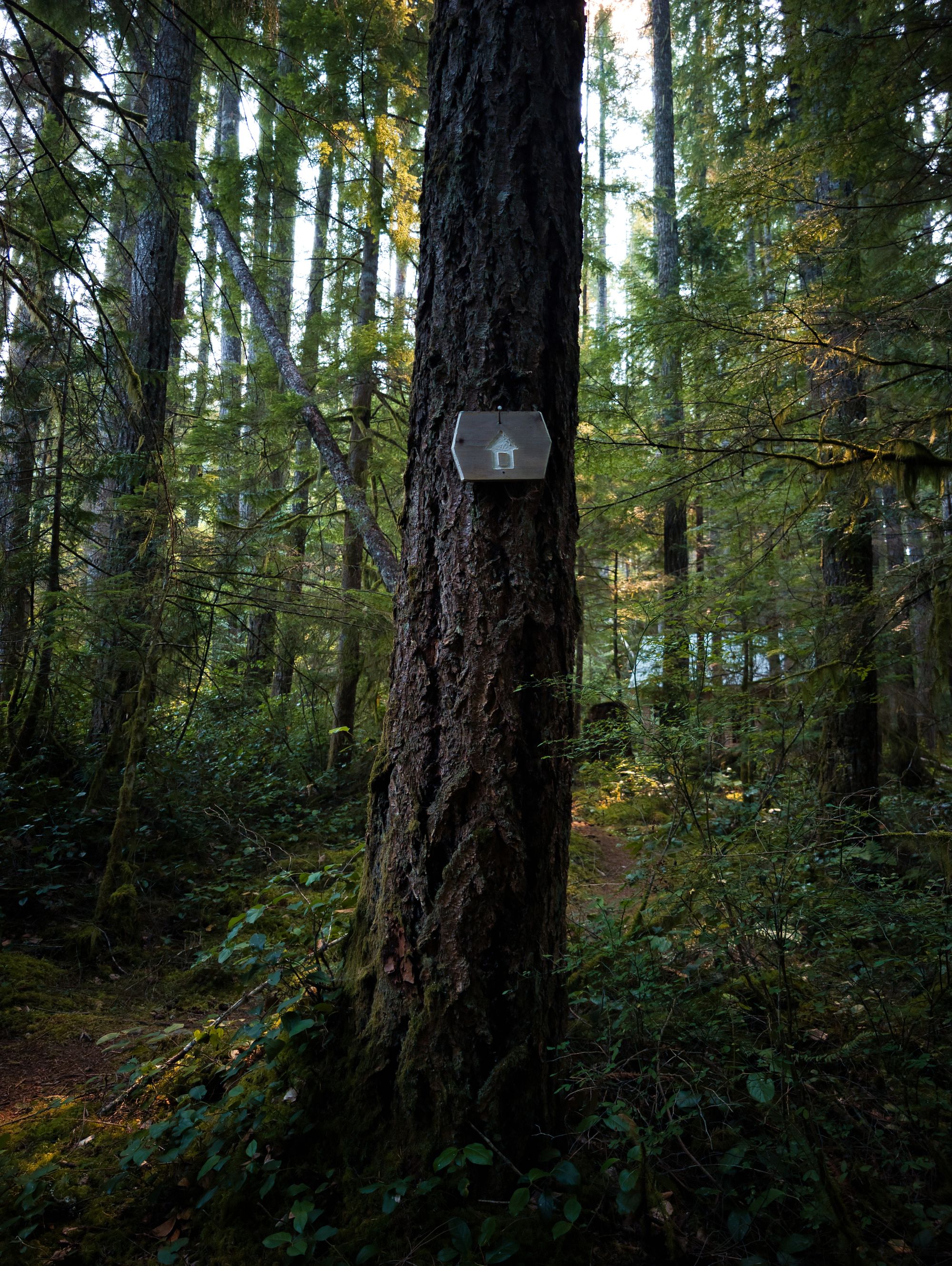
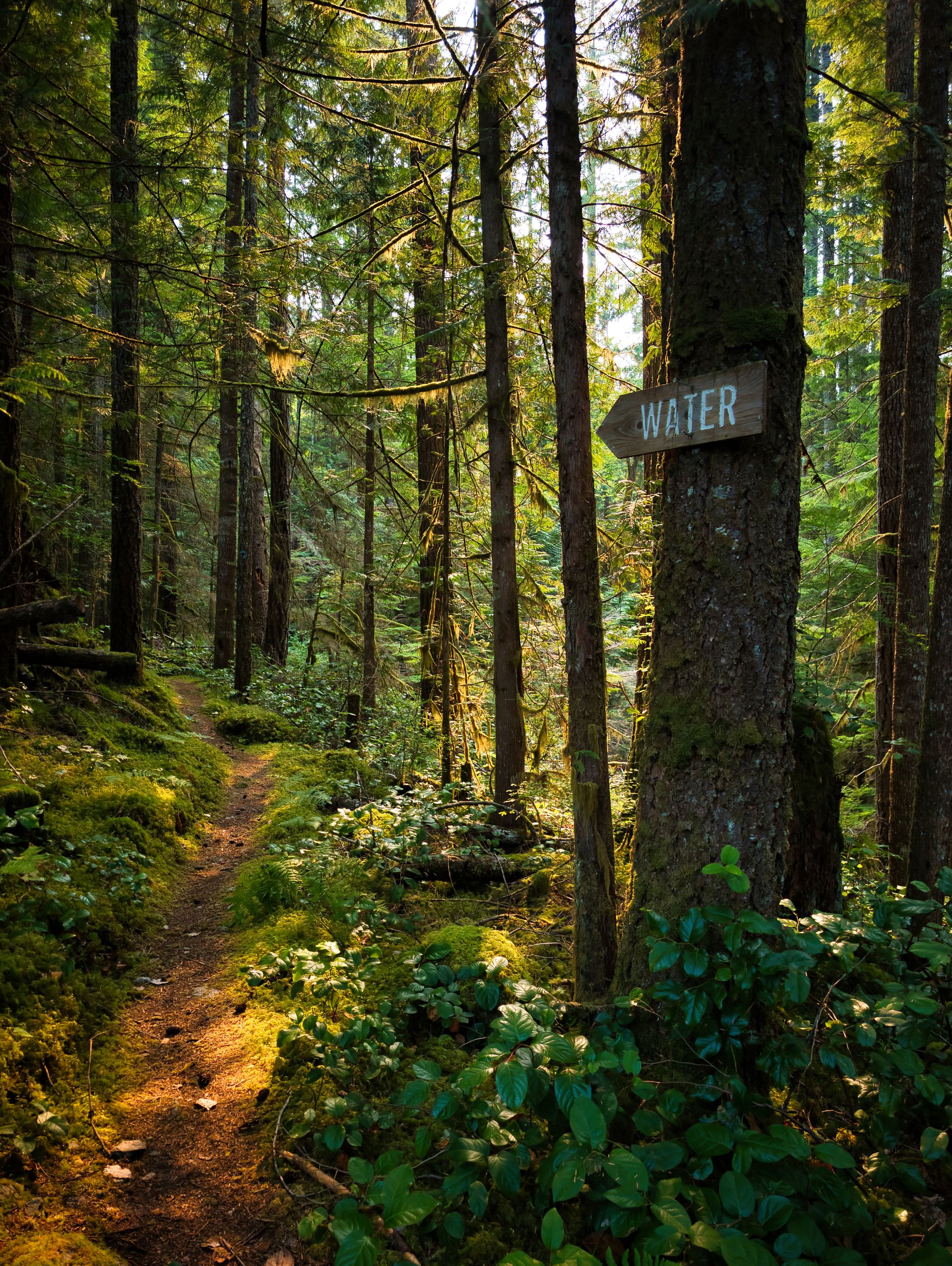
After lunch we picked up the trail and continued along the lakeside for another hour before the trail turned uphill away from the lake. We were expecting to see some sort of swimming hole 1 km prior to the cabin tonight from notes we'd read about on the SCT website, and were surprised when we never saw it and eventually arrived at the cabin at about 3:00 pm. Seeing the roof through the trees was a lovely surprise, so we dropped our gear and took our water purification stuff and a change of clothes to the water source uphill ~100m from Golden Stanley.
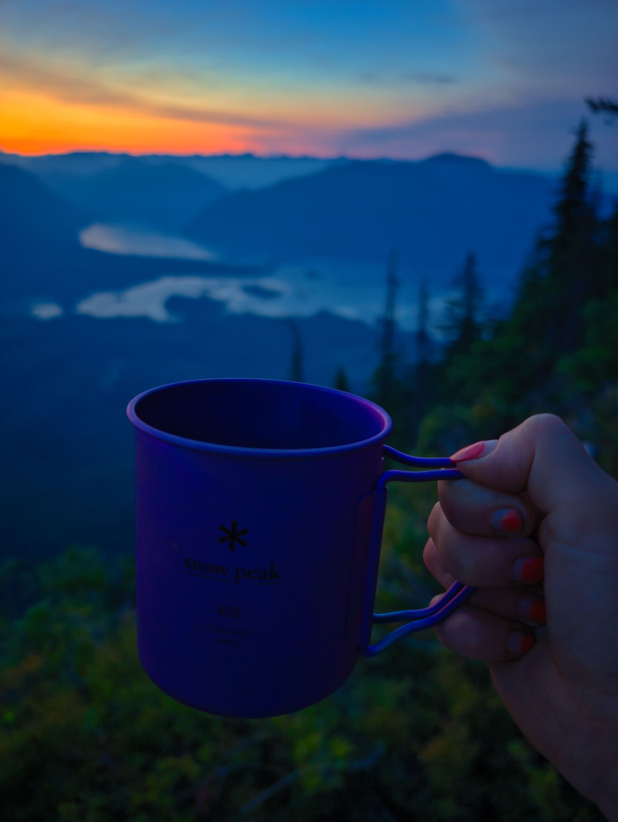
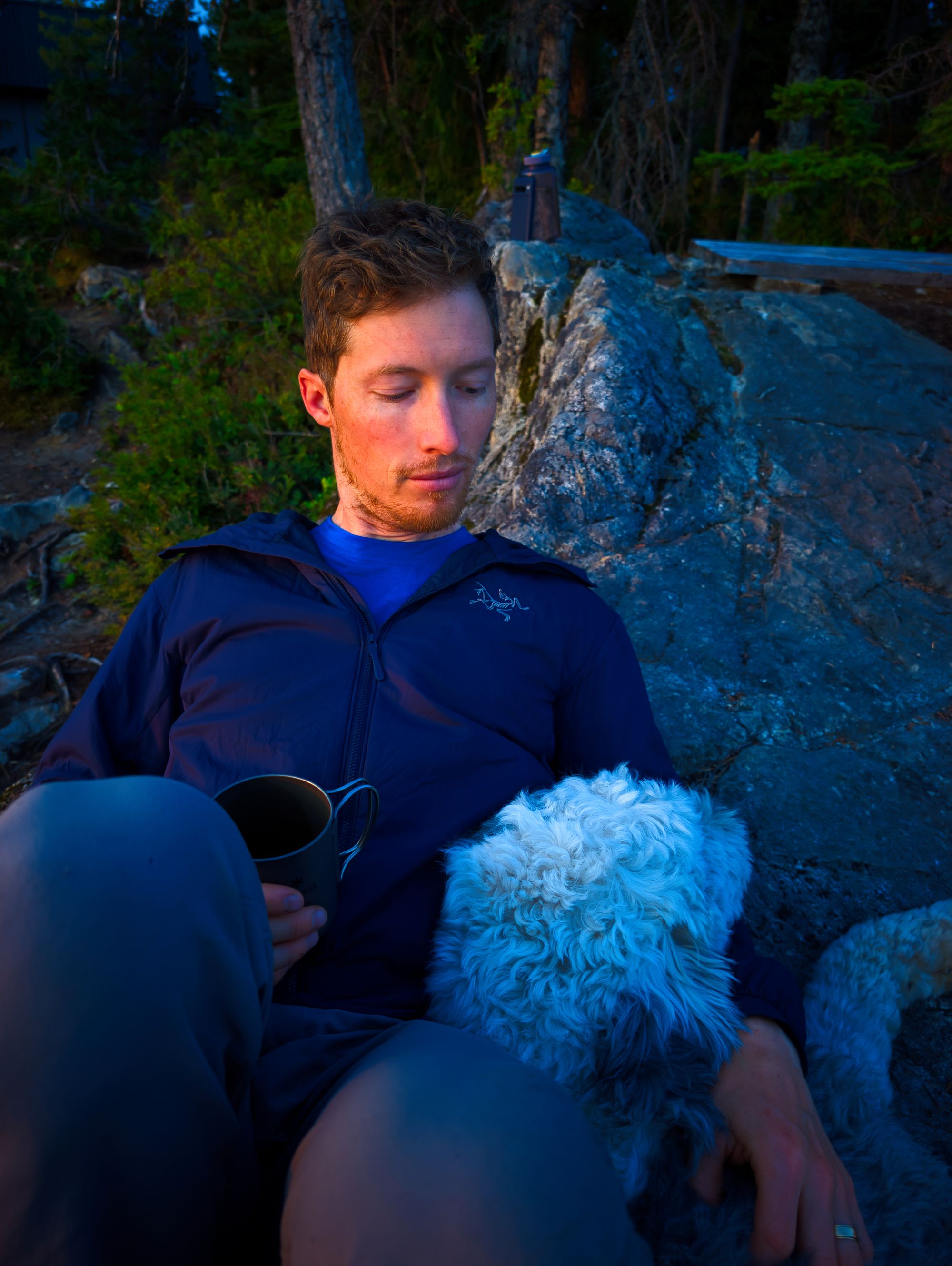
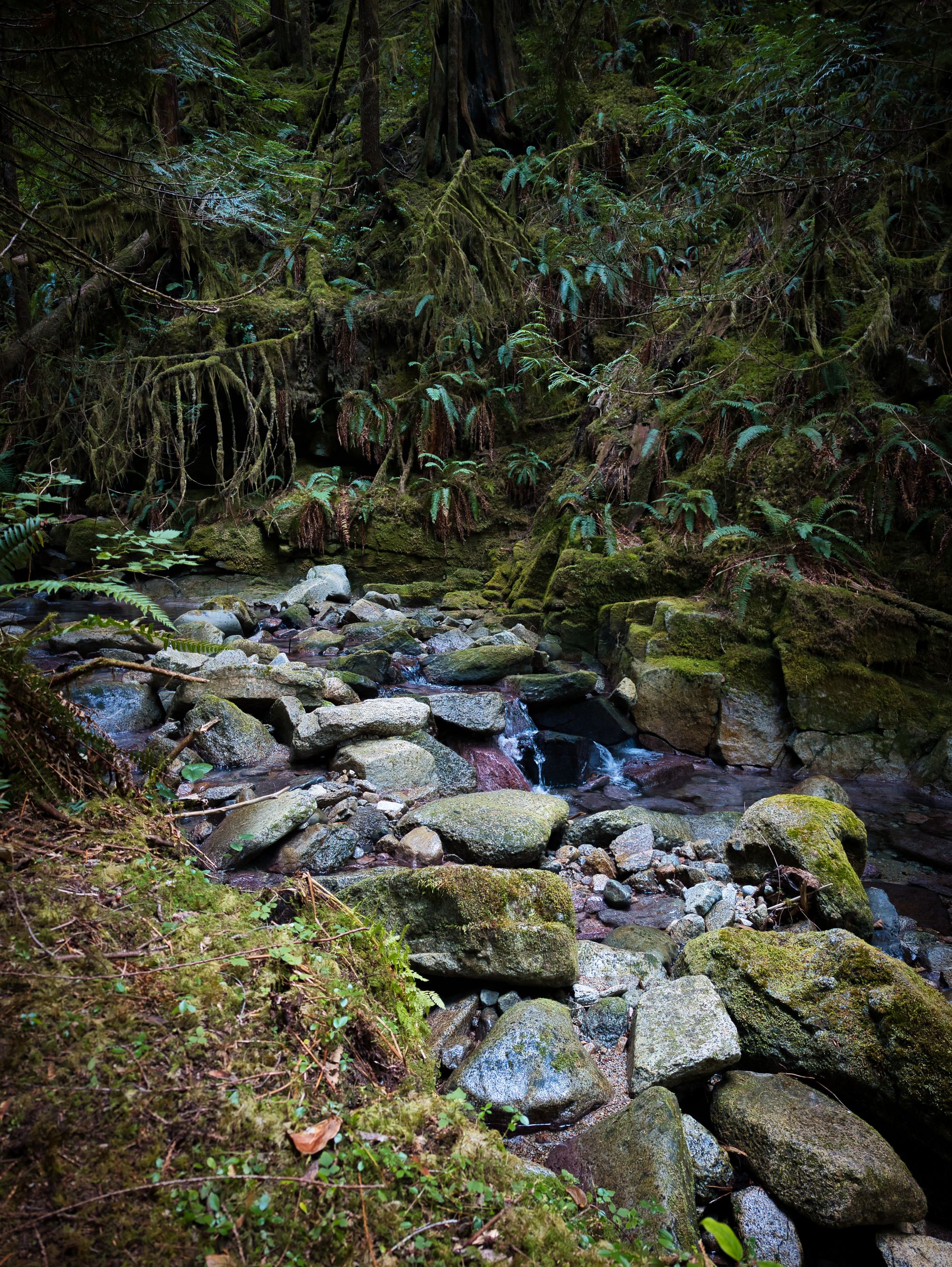
We found the signed water source quickly and purified water for the evening while the dog took a snooze. After that, we took an ice cold bath in the stream to wash away the sweat from the day. Refreshed, we made our way back to the hut to realize we had not arrived into camp this early any other day, and had no idea what to do with ourselves with the hours remaining before sunset. Luckily we have a travel crib board, so we unpacked it and played a game before dinner.
For the second time on the trail, we opted to set up our tent in the sleeping loft of the hut, as there was evidence of mice abound. We swept the loft as best we could but unfortunately there wasn't a dust pan so it was a little tough to get rid of. Previous tenants had left an old sleeping bag a used tenser bandage behind, which was unfortunate to see.
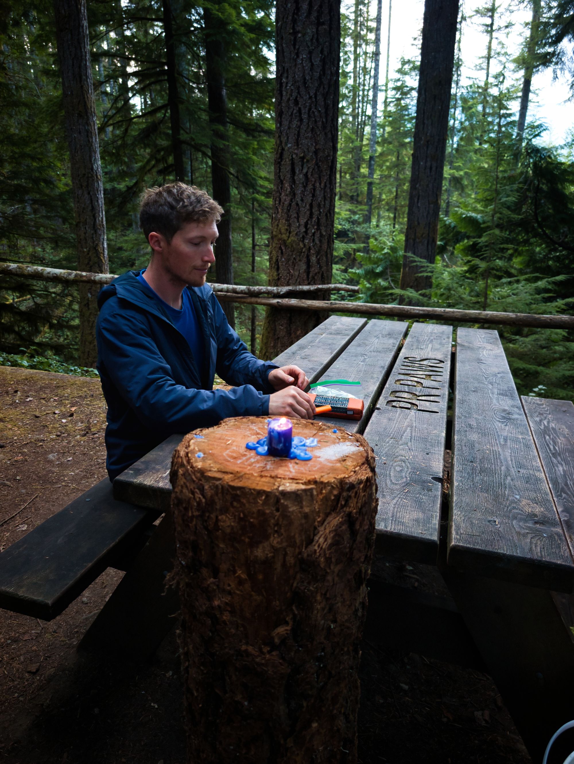
We wiled away the evening, playing crib and reviewing photos from the trip so far. The evening passed quickly and we lit a candle on the table that we'd found in the hut, so it made for a quiet candle lit evening out front of the hut.
Golden Stanley Hut
Open hut with covered porch area and stairs; semi-enclosed main floor but window and door openings are just that - openings with no windows or doors. Sleeping loft has screened windows and enclosed rafters.
Picnic table; bear cache; composting outhouse.
Water source: a creek 100m south of the hut.
FAQ/General Trail Information
SCT Day 7: Tin Hat to Walt Hill
SCT Day 9: Golden Stanley to Fairview Bay