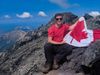
SCT Day 7: Elk Lake to Walt Hill Hut
With a planned distance of only 14km, this was to be our shortest hiking day yet! However, the trail had some other plans for us - but we learned a valuable lesson.
Hiked September 3, 2025
Quick Overview
| Distance/ Elevation | 19km, 773m *We had a 2km backtrack for water, which added a total of 4km to the day. |
||||
|---|---|---|---|---|---|
| Water Sources |
Elk Lake (KM109) Hotdog Creek *seasonal (KM114) Coyote Lake (KM116) *last water source before Walt Hill for us Blackwater Springs (KM120) *dry when we hiked Bridge of Doom spring (KM122.5) *dry when we hiked |
||||
| Other Sections |
FAQ/General Trail Information SCT Day 6: Tin Hat Mountain to Elk Lake SCT Day 8: Walt Hill to Golden Stanley |
||||
| Facilities |
Elk Lake Hut: Semi-enclosed hut. Dock, picnic table, bear cache, composting toilet; bench and fire pit by the water. 4 cleared spaces for tents. Slightly leaky canoe. Lots of evidence of mice in the hut. Walt Hill Hut: Fully enclosed, winterized hut. Bear cache, picnic tables, benches by viewpoints, composting outhouse. Limited spots to pitch a tent. |
||||
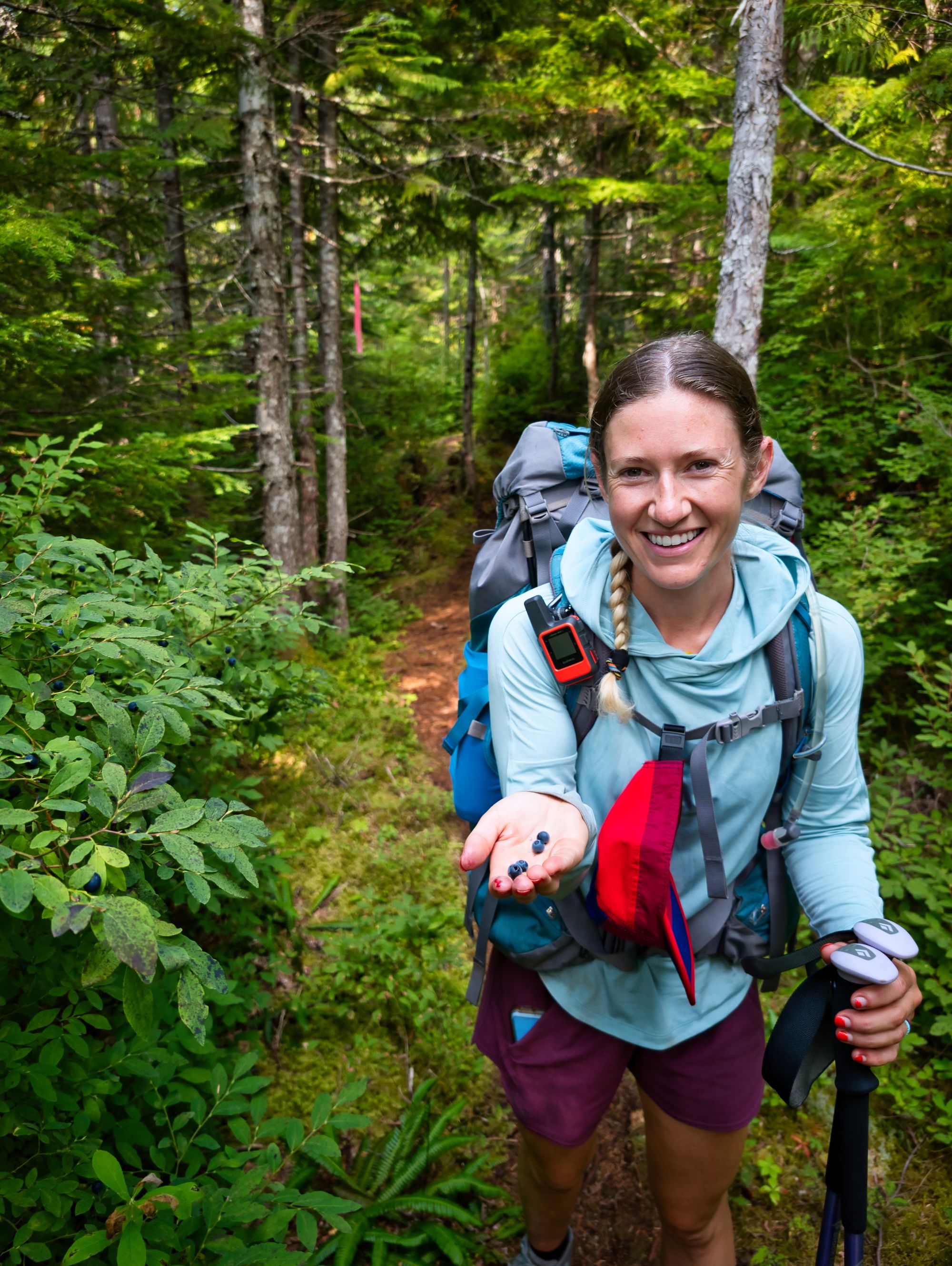
Since we had such a short distance to go today, we decided to sleep in (or maybe the wine helped with that decision...?)
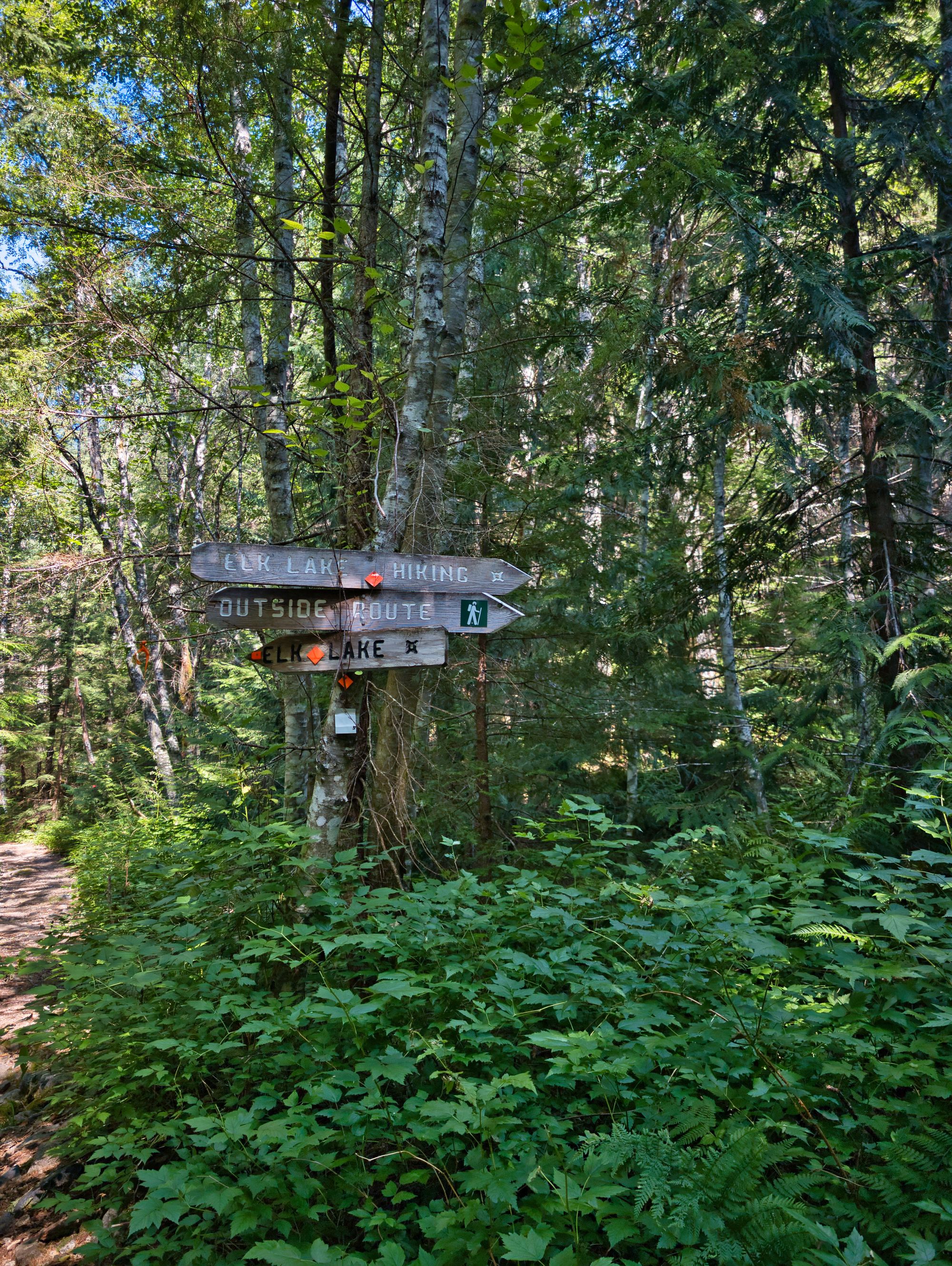
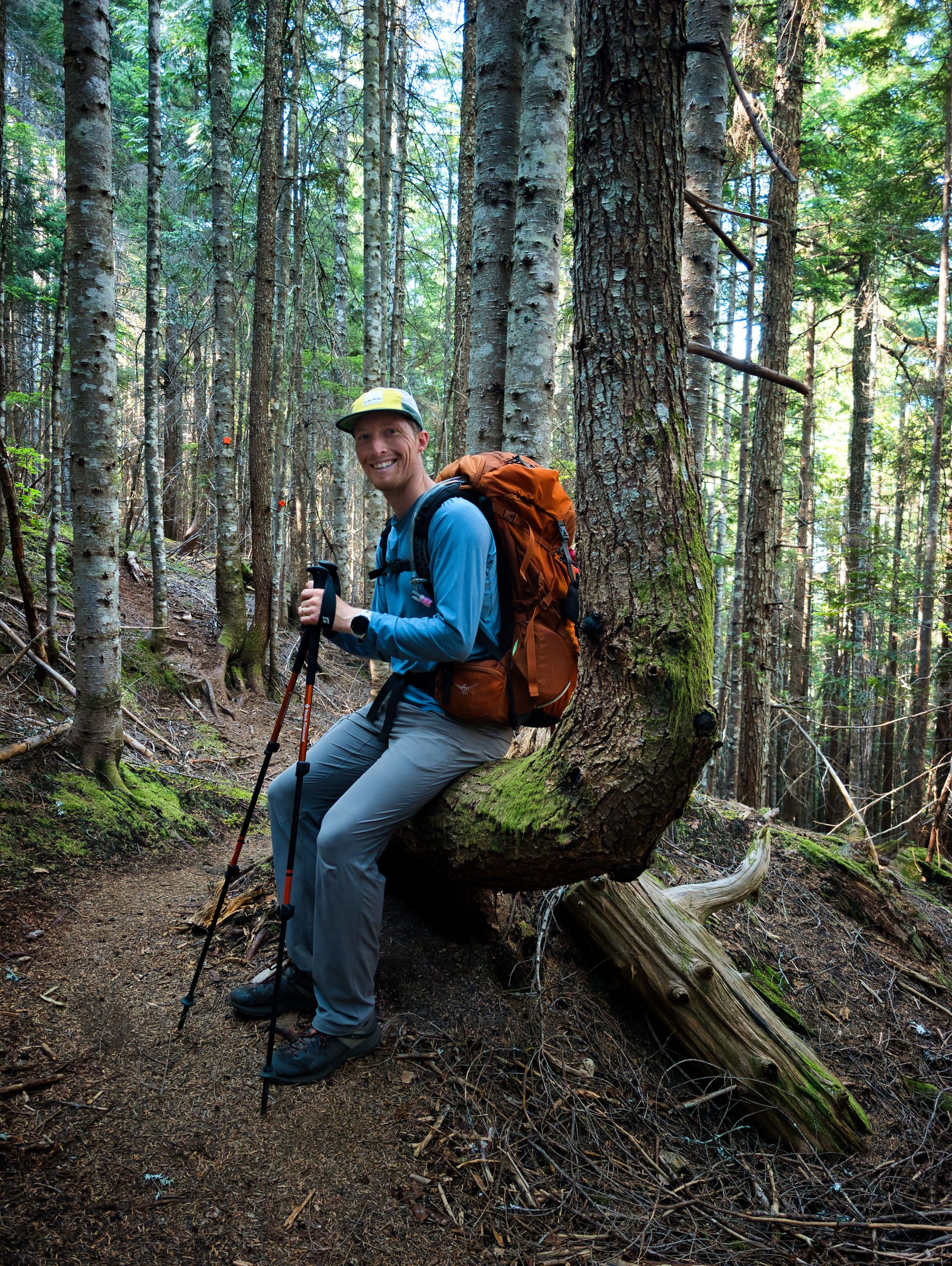
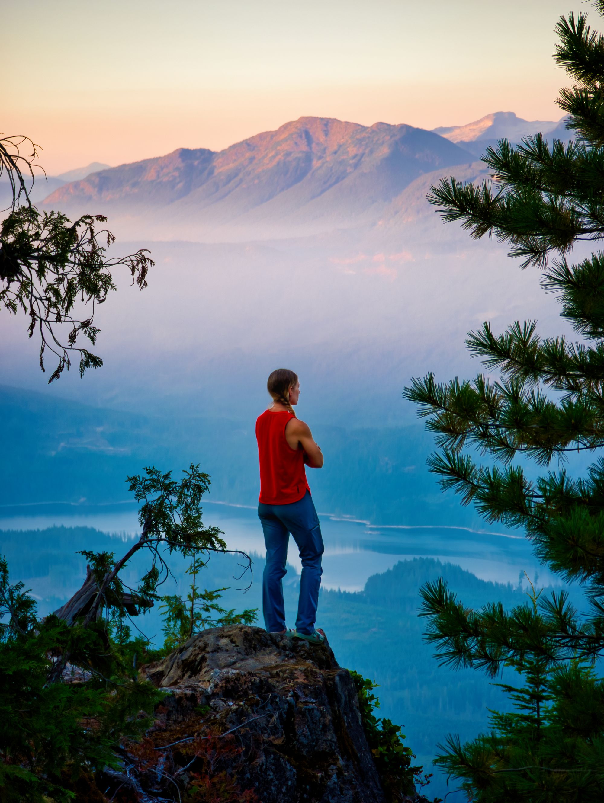
We got up at 7:30AM and took the morning very slowly as we enjoyed breakfast in the lakeside sun. Finally saying goodbye to our friends, we stepped off on the trail just before 10:30. The new section of trail following the lakeshore was really nice, with soft ground underfoot. We followed that until the intersection past the lake, where we decided to follow the "outside" trail. [The "inside" trail, we learned later on, is now primarily an ATV trail and all hikers are recommended to take the Outside Route.] It took us out to a lookout to the east of Elk Lake, and then plunged down off the ridge into thicker forest below.
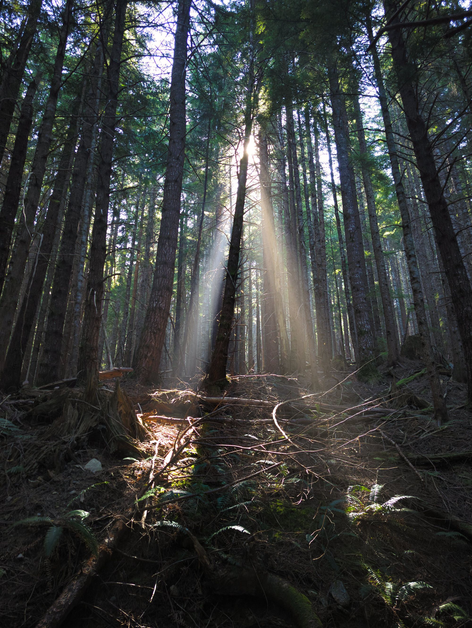
We quickly joined a network of abandoned roads that took us out and around the higher ground south of Elk Lake. The roads ranged from completely overgrown with chest height bushes to totally open and clear. The overgrown areas were annoyingly full of spiderwebs hung across the trail, but with relatively flat and groomed ground we made great time!
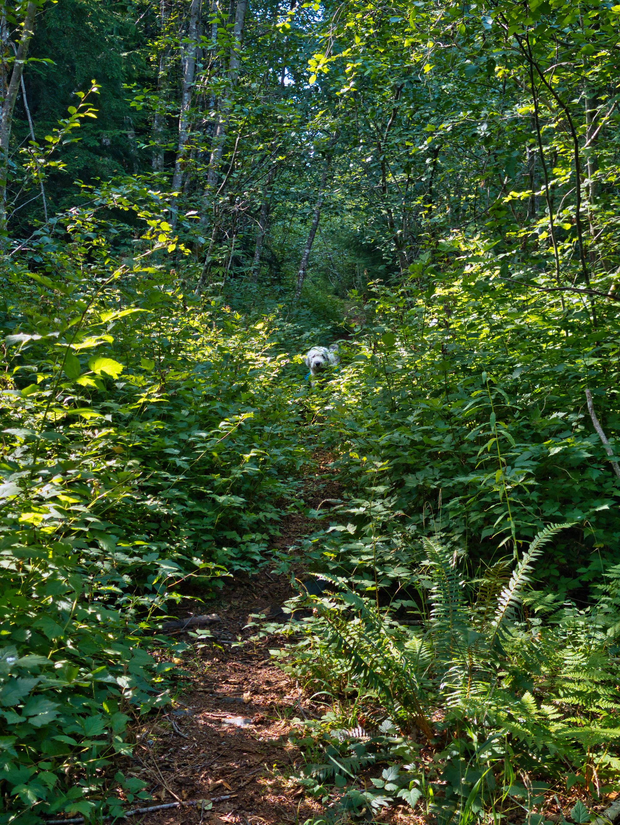
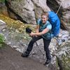
The trail reconnected with the "Inside Route" at km 114 and we followed a wider ATV road for a few hundred meters. We veered off from the road just past Hotdog Creek to ascend through the woods to Coyote Lake. Someone had definitely been up the hiking trail on a dirt bike not that long ago, and unfortunately we saw lots of damage over the next few days left by the dirt bikers. The trail climbed steeply up the hillside before joining another doubletrack road along the side of Coyote Lake.
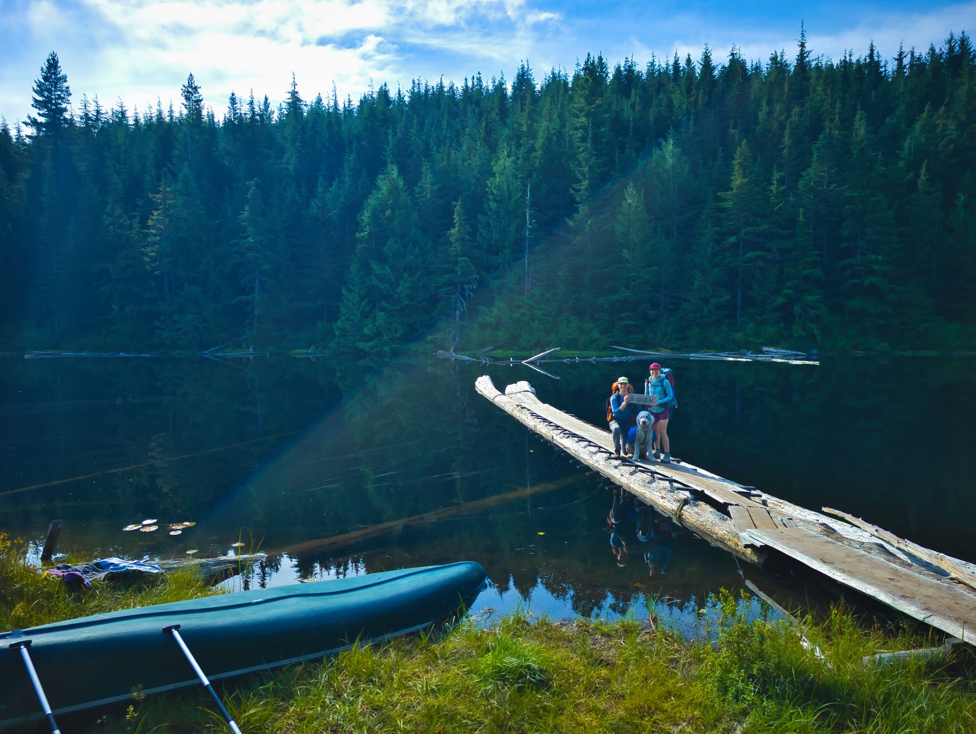
We stopped for lunch at Coyote Lake Camp, which has a large tent pad, picnic table, and bench, plus a slightly sketchy dock leading out into the water away from the mucky shoreline. We didn't see an outhouse nor bear cache initially, but did find the outhouse later on. The lake itself is a bit smaller than Elk Lake, but definitely looked a touch more scuzzy (Katie saw a dead frog floating between the logs of the dock, yuck)
We'd been planning on doing a big water fill-up here for our night at Walt Hill Hut, but upon seeing the water quality at the lake we decided to take our chances with some upcoming streams.
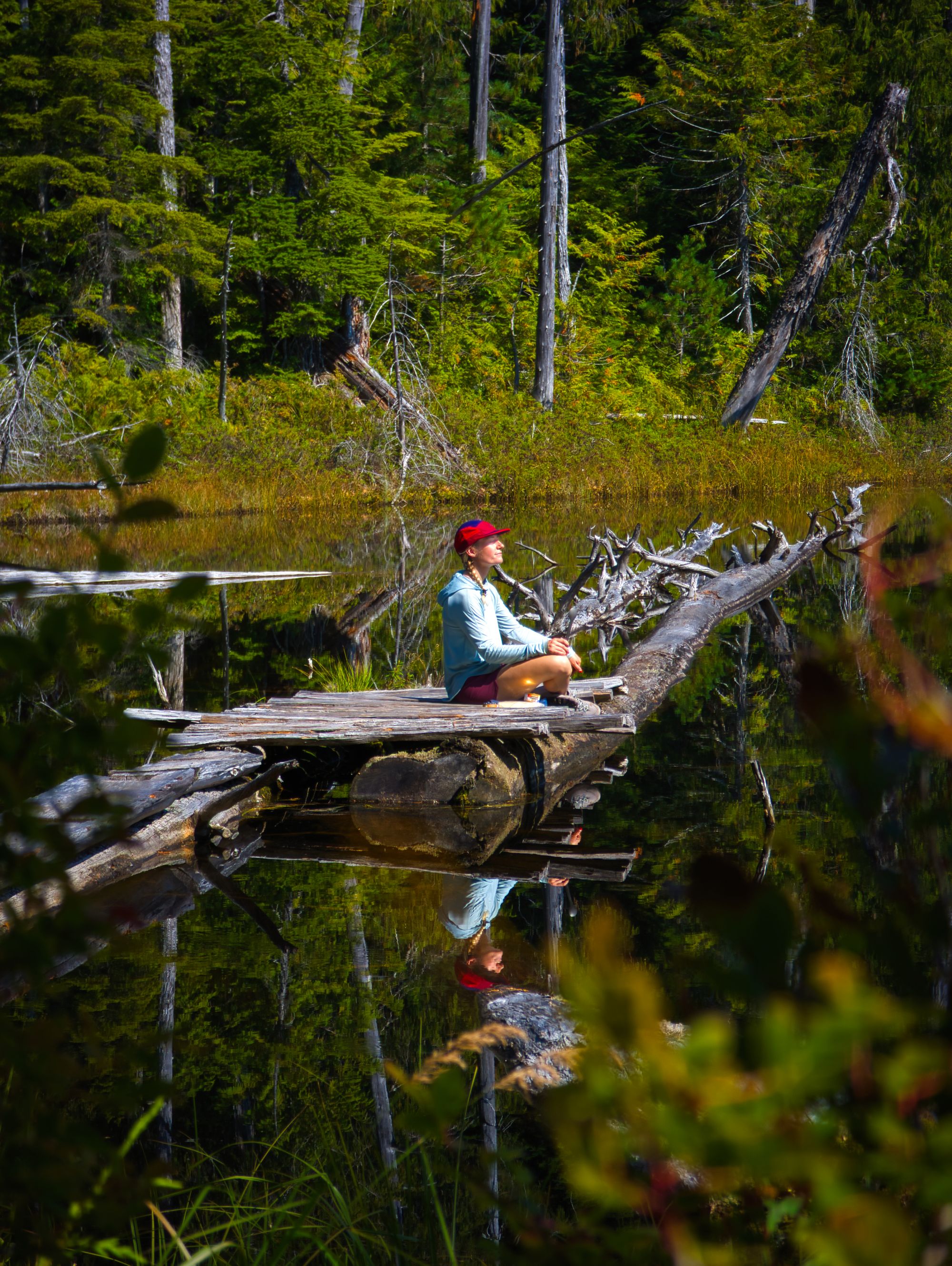
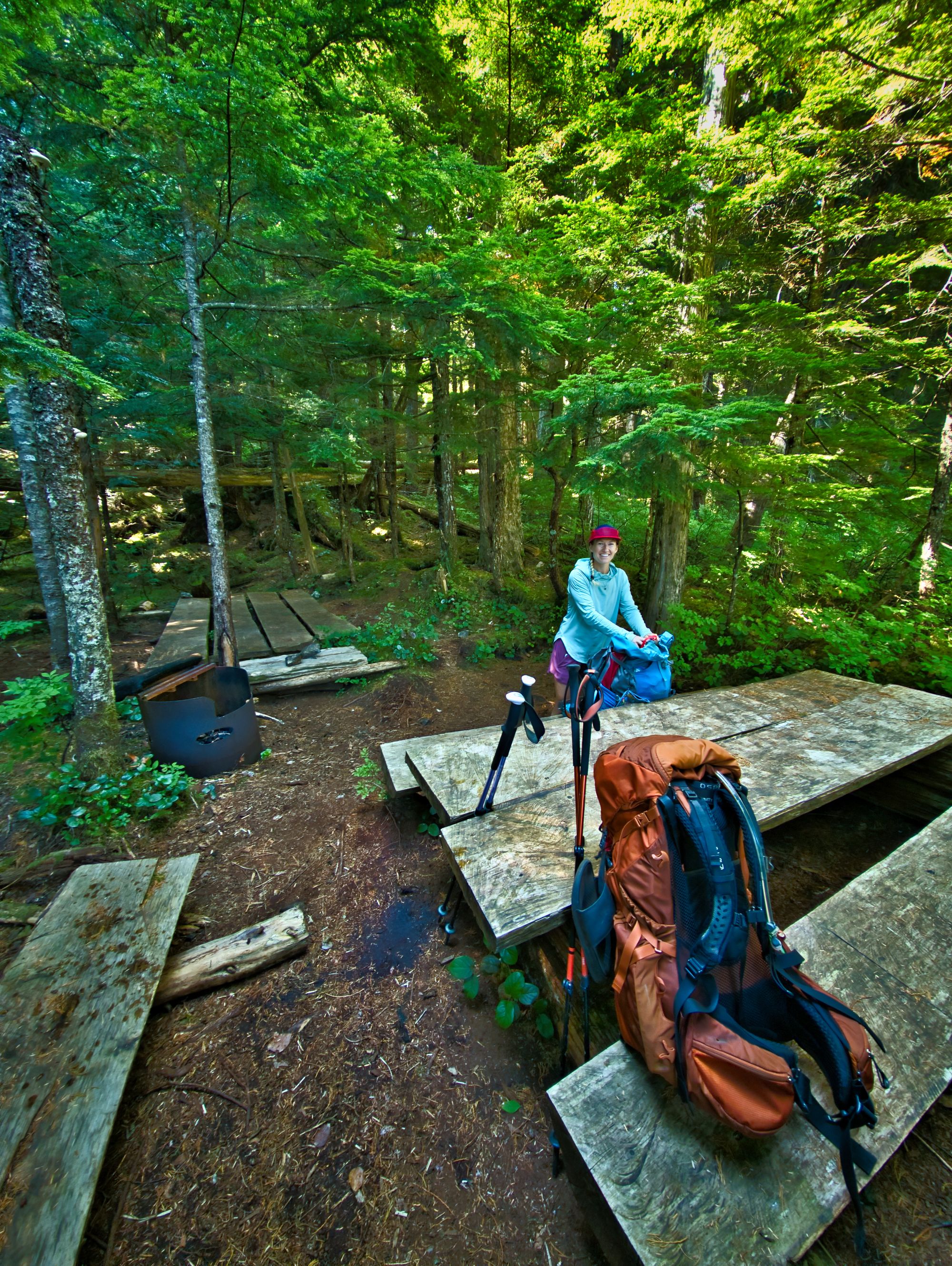
Coyote Lake Camp
One large tent pad; picnic table; fire pit; slightly sketchy dock onto the lake.
Outhouse is up the hill on the opposite side of the SCT trail.
Water source: yes (lake).
We found a sign for the outhouse just a little further down the main trail, at the "Coyote Vista" junction. Another picnic table with a space large enough for a tent was a little ways past that at the south end of the lake. A quick scramble down some loose rock from there would allow access to draw water.
We continued towards Walt Hill with the intention of drawing water for the night at one of two upcoming streams marked on the map. Unfortunately, as we reached them, we found that both were bone dry. We made the decision at that point to cut our losses and turn back to Coyote Lake for water. There were another couple of streams higher up on the hillside towards Walt, but we just didn't expect to find any water there given the dry conditions.
So, we dropped our packs and, using the lid of Ryan's Osprey Aether 70 which converts into a daypack, grabbed the bare minimum to collect water. We had walked 2km past Coyote Lake in search of water, so we added a total of 4 heartbreaking km to our day... at least it started out as the shortest of the trip. We hiked back to Coyote Lake and drew 11L of water for the night, turned back around, and got back to our packs. We were happy to see no squirrels or other critters had tried to get into them while we were gone!
With our water weight on board, we soon diverged from the old logging road, following the marked trail uphill towards Walt Hill. We followed a different abandoned logging road initially, which quickly deteriorated into savage switchbacks, ascending fast towards the high ground. At the SCT Access fork around KM119 we turned left to follow the main trail.
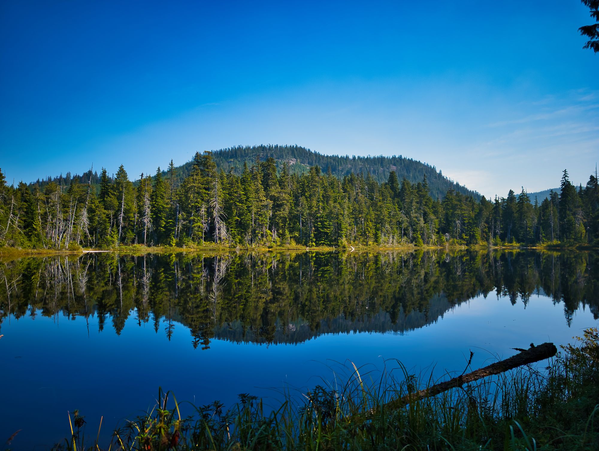
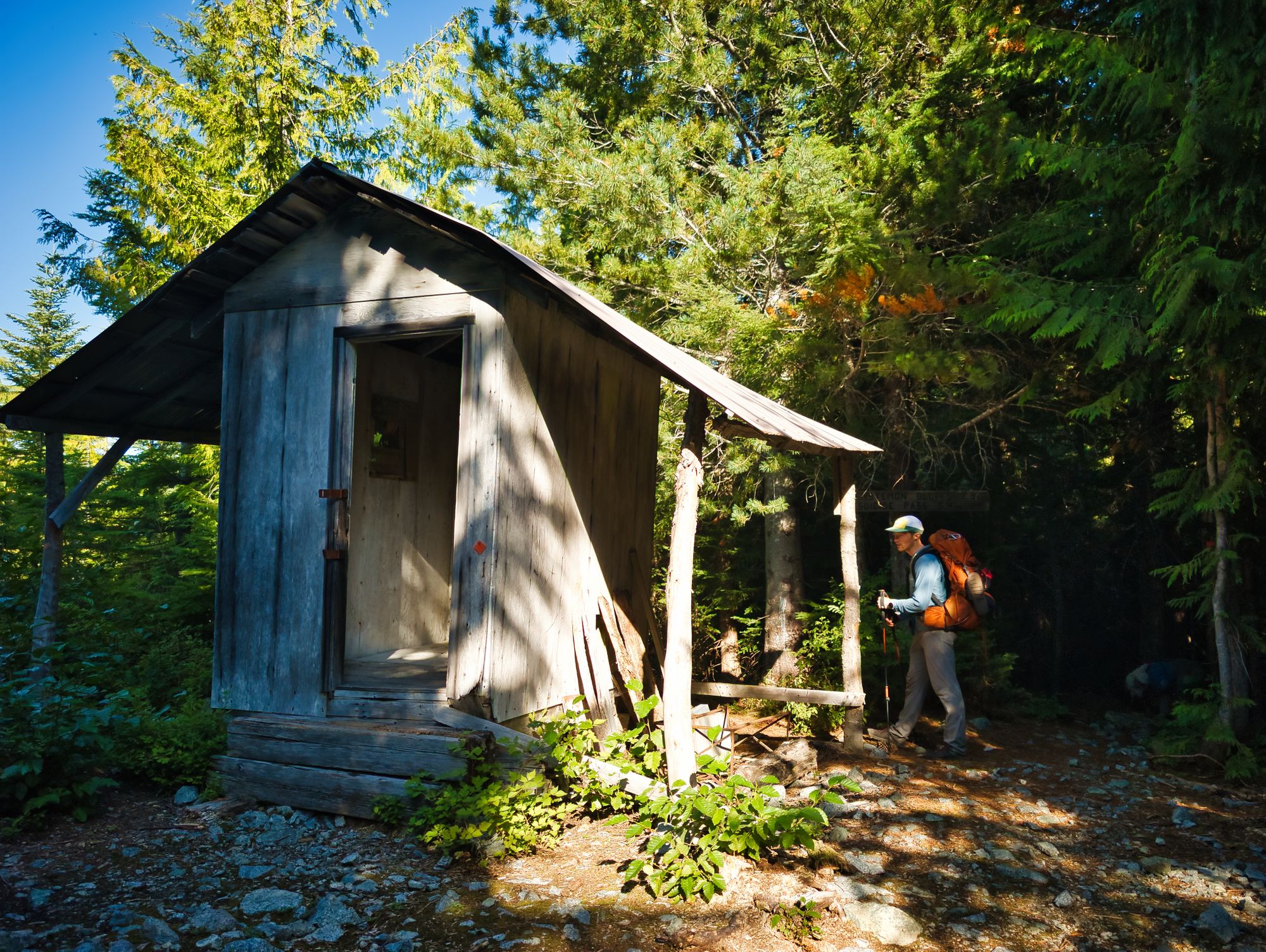
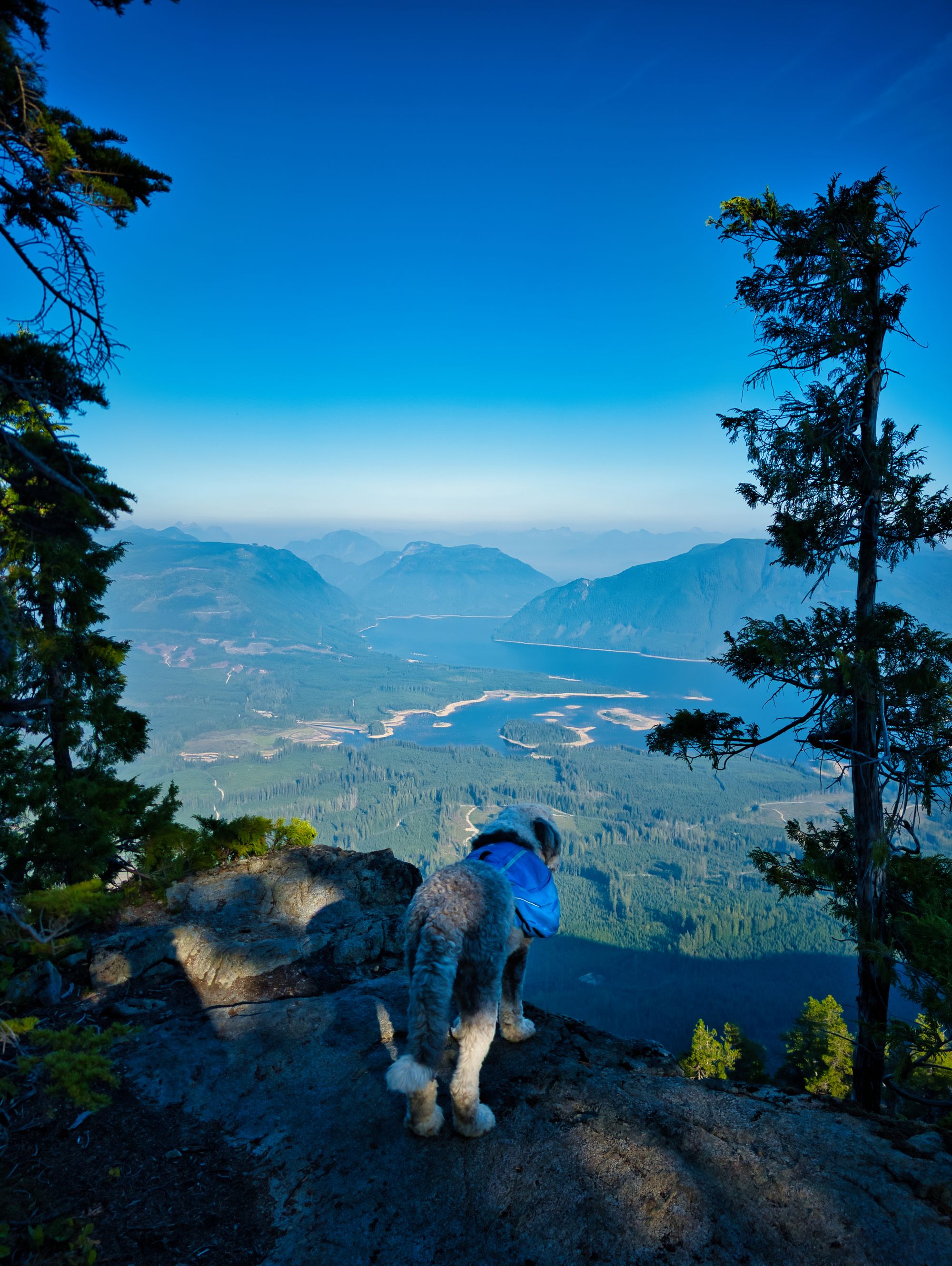
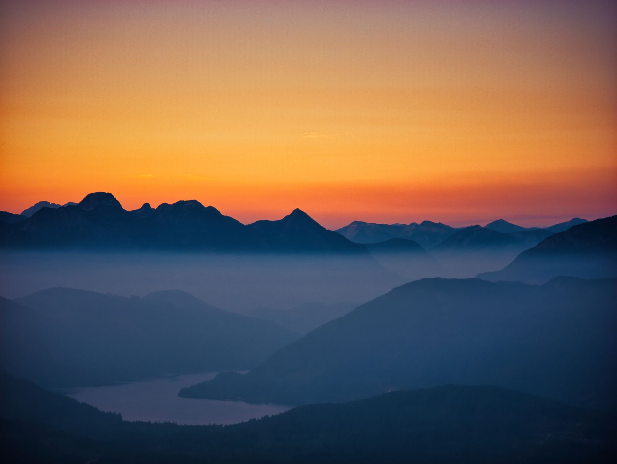
After another km or so, we came upon an abandoned structure with the base of a metal tower next to it. We later learned this shelter is referred to as the "Walt Hilton" and is considered an emergency shelter. It is perched high on the hillside and next to a gorgeous vista lookout with views off to the northeast.
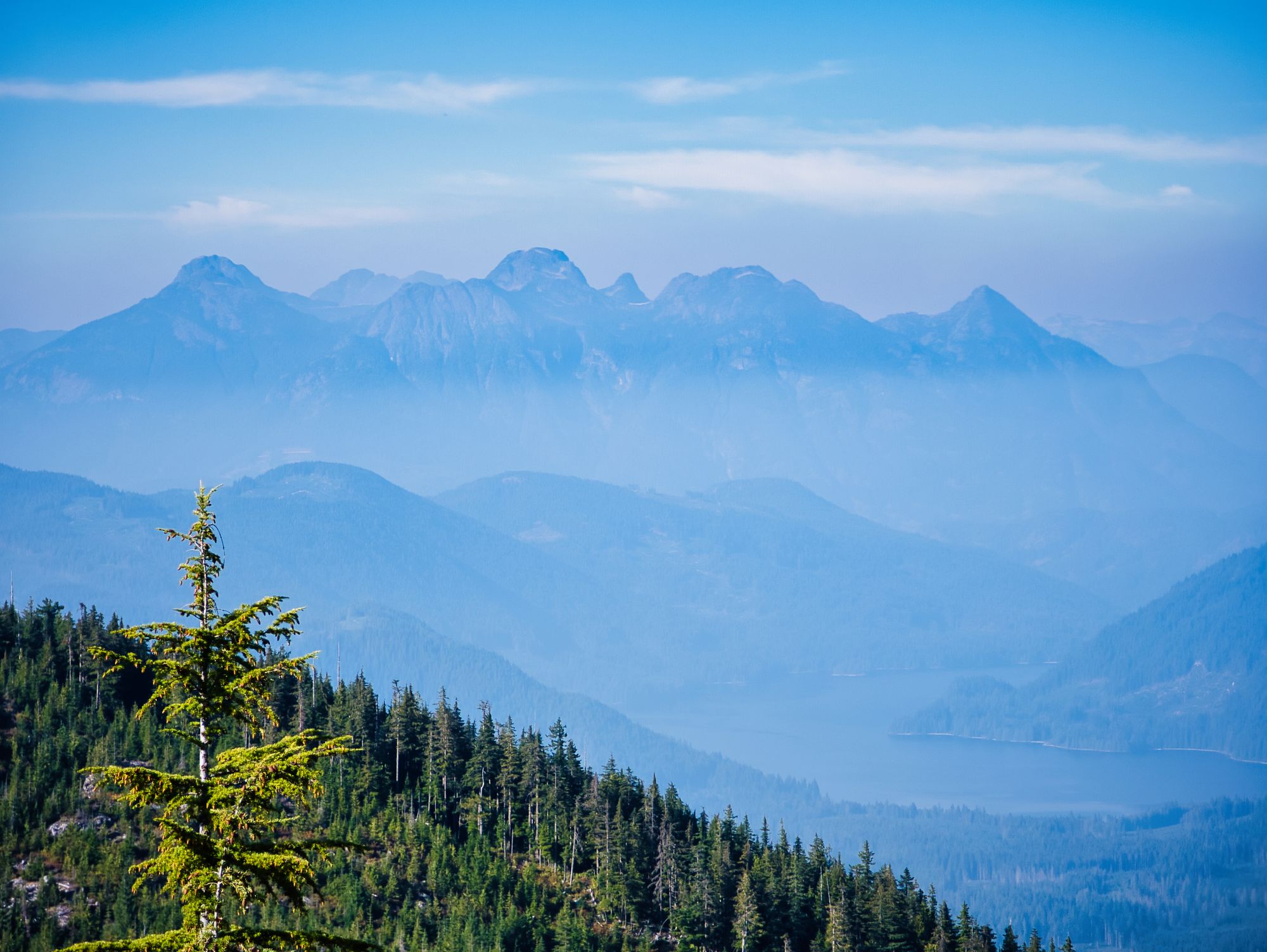
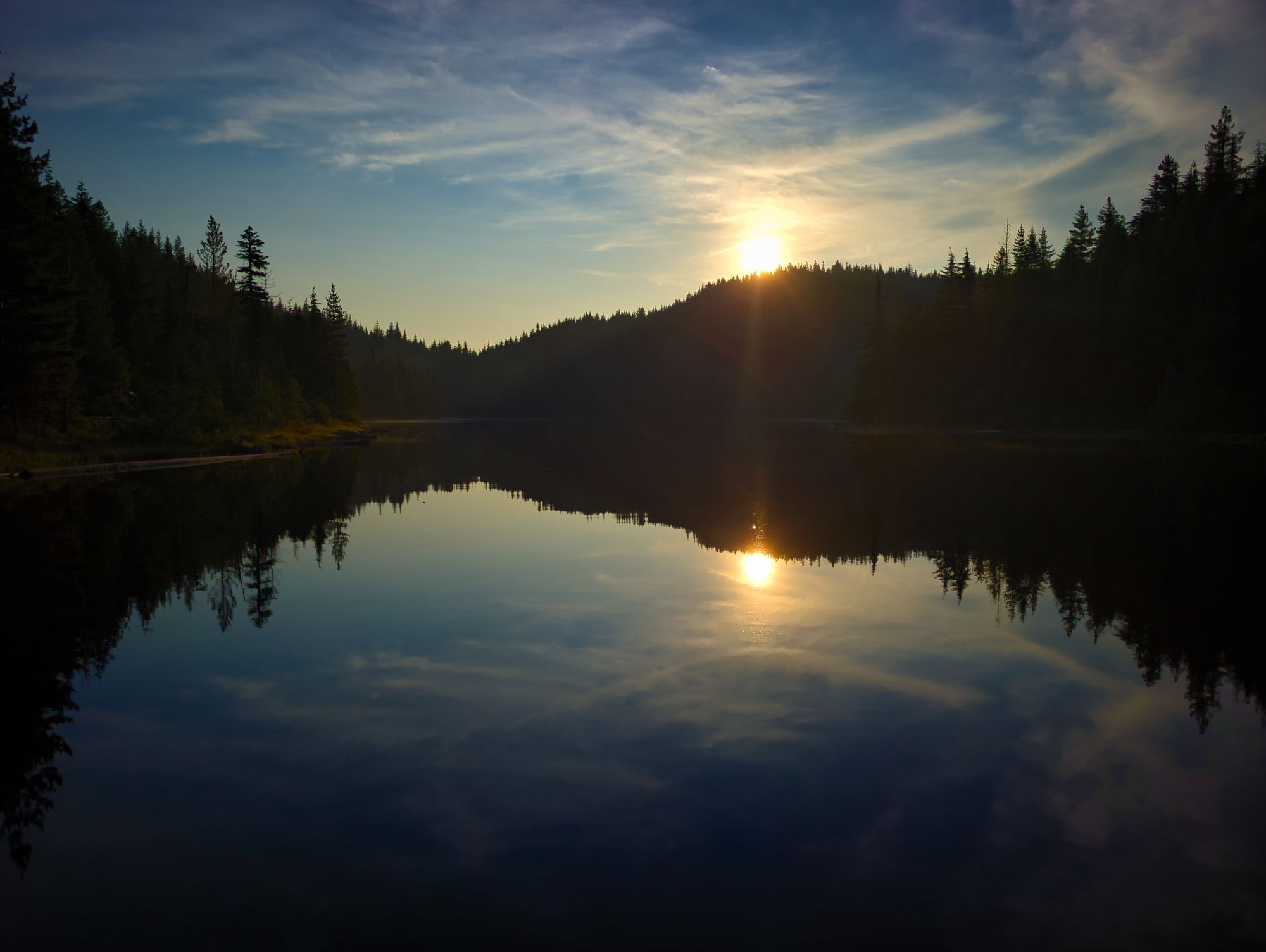
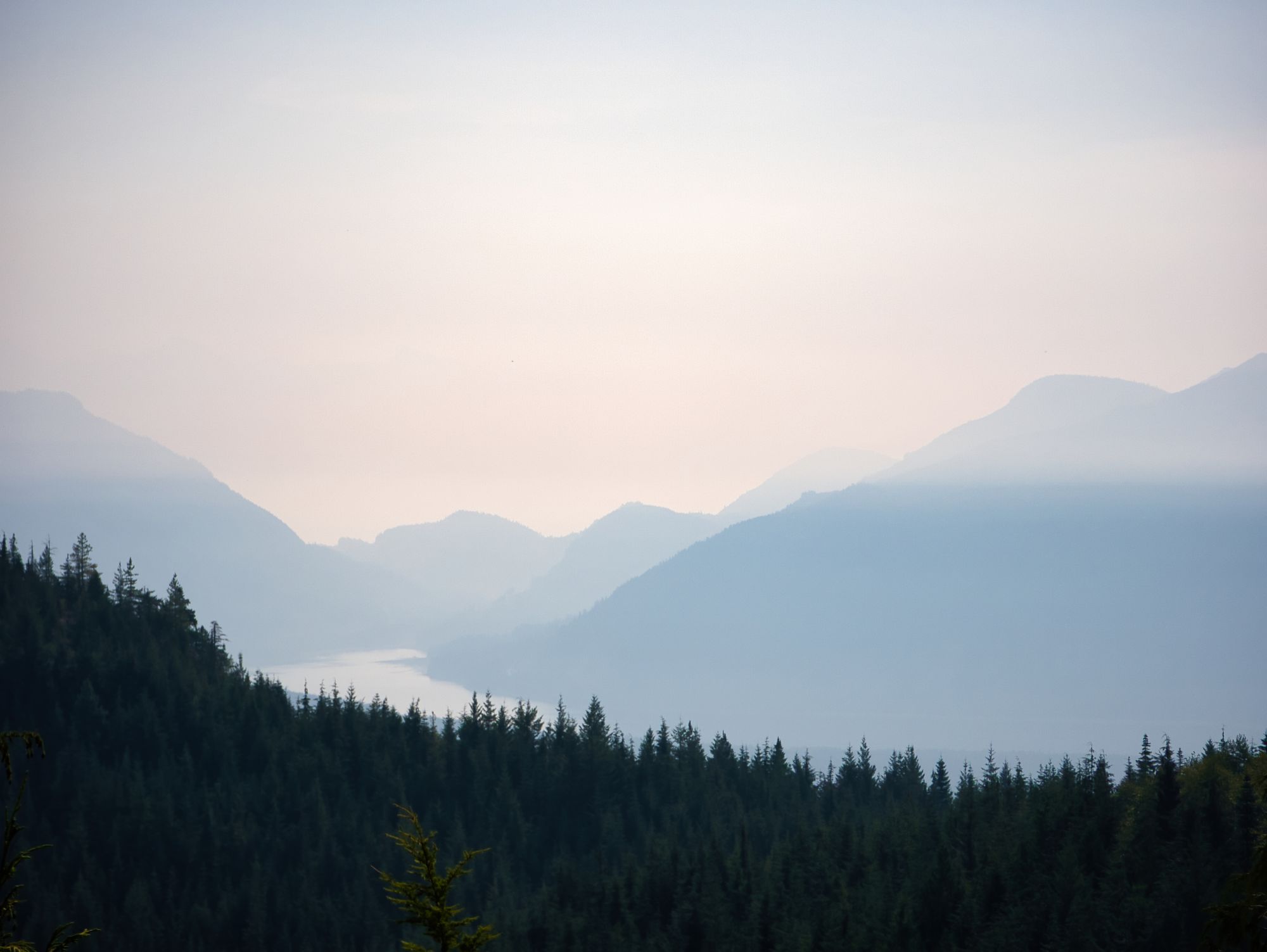
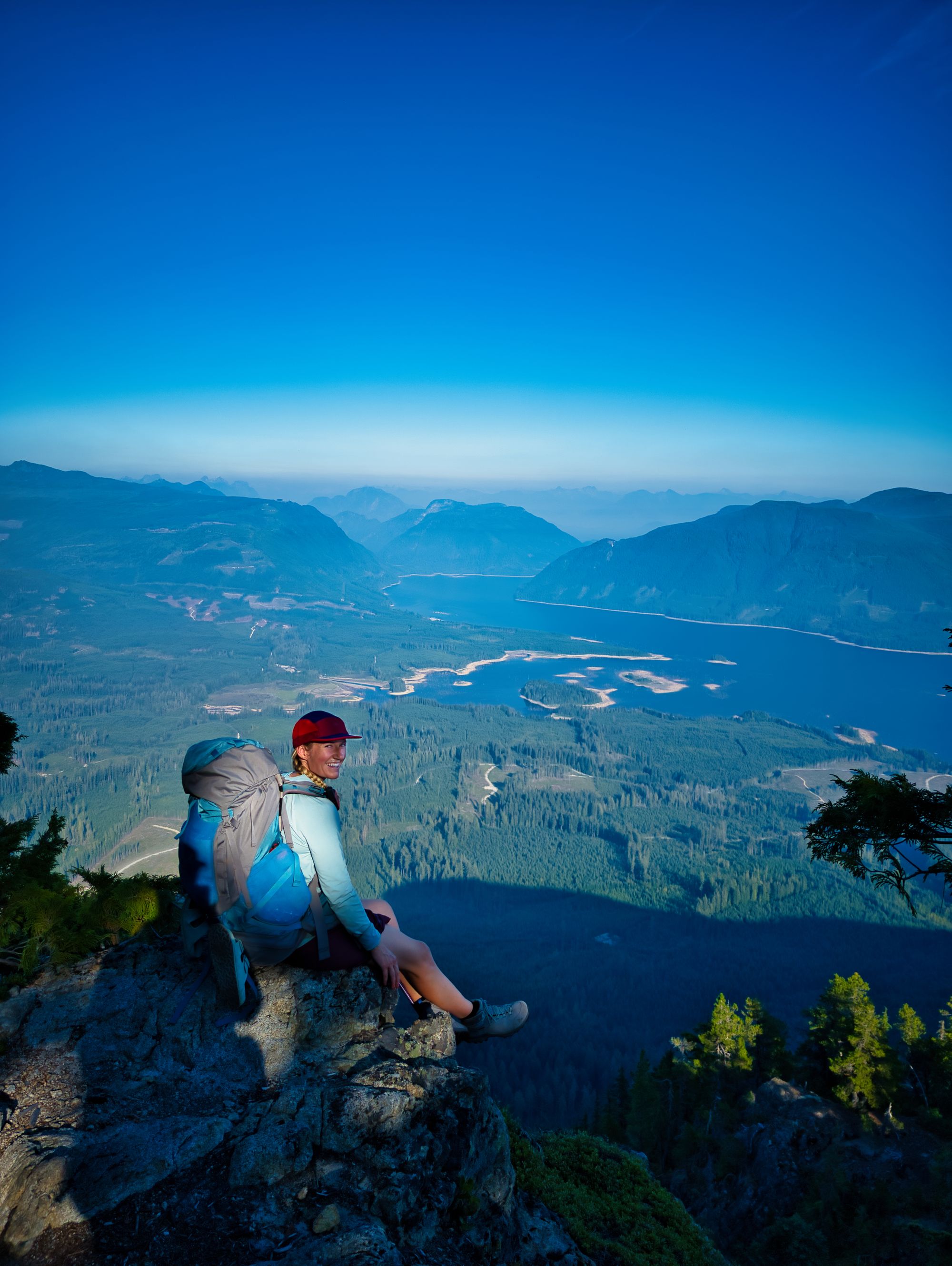
For the remainder of the trail to the hut, we were treated to viewpoint after viewpoint, looking over Lois Lake and the surrounding hillsides. It was neat to see where we would end up tomorrow! The Hut finally hoved into view after the ten millionth short steep climb over yet another mound of high ground on the ridgeline. This section of hiking felt particularly never-ending, especially because the Official SCT website lists the Walt Hill Hut as being at KM122, when it is in fact literally right beside the KM123 sign.
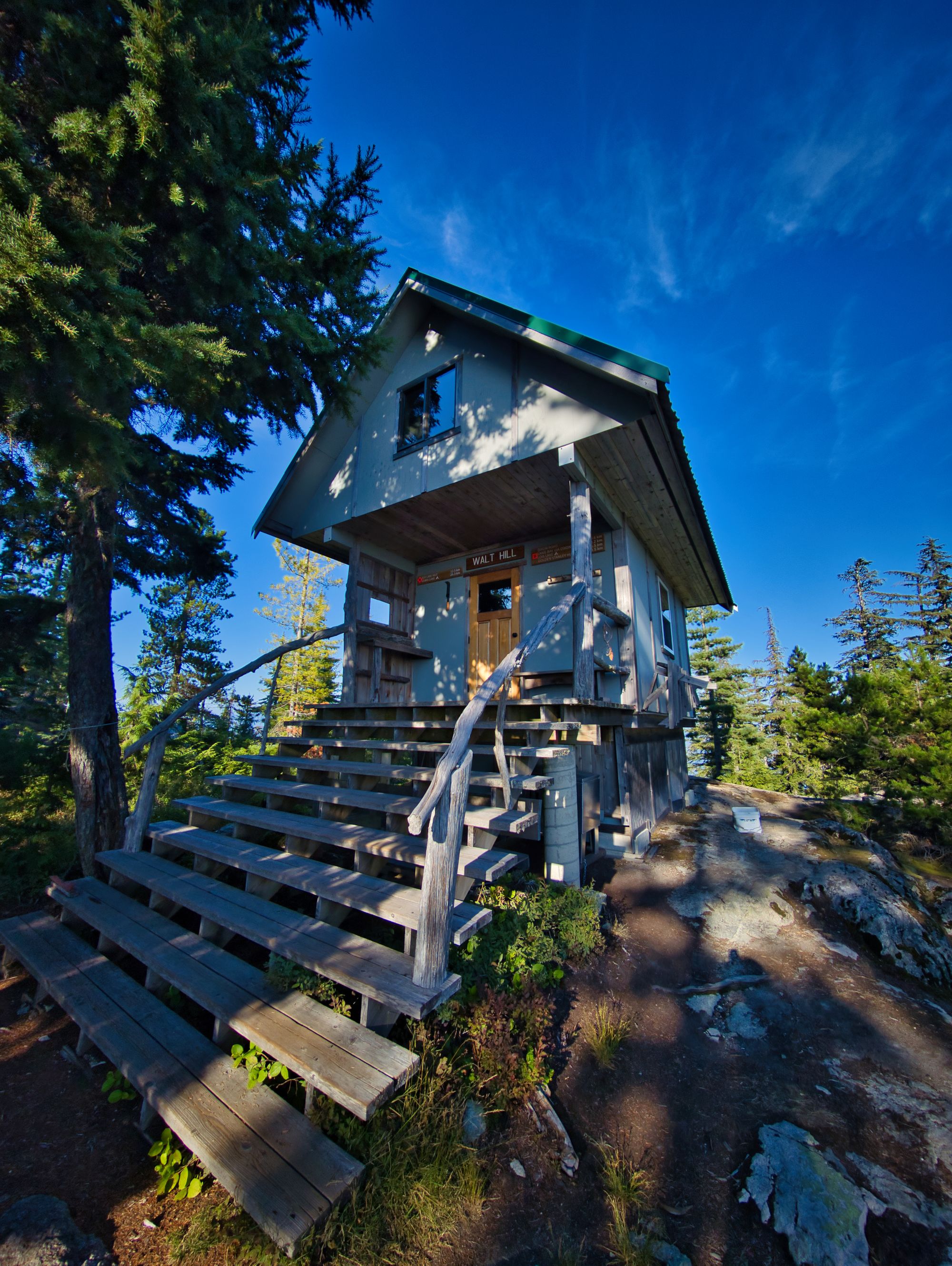
Walt Hill Hut
Fully enclosed, winterized hut; pellet stove; Coleman cook stove inside.
Bear cache; picnic tables; benches by viewpoints; composting outhouse. A couple flat spots to pitch a tent.
Water source: seasonal. A signed water source as we approached the bluff summit from the north, but no water when we hiked (September).
We settled in and made dinner, and as we were unpacking two other hikers arrived from the south. They went to set their tent a little ways away from the hut, so we ate dinner at a viewpoint over the lake.
Later in the evening we watched the sun set and chatted a little with the other couple. They were the first hikers that we ran into who were planning on hiking the entire trail. Once the sun was down, we headed to bed to get a good sleep ahead of a 21km day tomorrow!
FAQ/General Trail Information
SCT Day 6: Tin Hat Mountain to Elk Lake
SCT Day 8: Walt Hill to Golden Stanley