SCT Day 3: Sliammon Lake (Kokanee Creek Camp) to Haywire Bay
Our third day on the trail gave us lots of excitement over just 19.5km... From a bear sighting, to burger lunch and picking up our huge 7-day resupply!
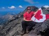
Hiked August 30, 2025
Quick Overview
| Distance/ Elevation | 19.5km, 680m | ||||
|---|---|---|---|---|---|
| Water Sources |
Little Sliammon Lake (KM43) Shinglemill Pub (KM50) Mowat Bay Municiple Park (KM52.5) Tony's Point (KM55.5) Haywire Bay Regional Park Campground (KM58) |
||||
| Other Sections |
FAQ/General Trail Information SCT Day 2: Manzanita Bluff to Sliammon Lake SCT Day 4: Haywire Bay to Confederation Lake |
||||
| Facilities |
Kokanee Creek: large wooded camping area, traditional outhouse, picnic tables, bench by lakeside. No bear cache. Haywire Bay Regional Park: front-country campground ($), water spigots, swimming, outhouses, hot showers ($). No bear caches. |
||||
We woke up at about 6AM and started getting organized, motivated by our upcoming pub lunch. We ate our oatmeal breakfast and enjoyed the tranquility of the perfectly calm lake and camp area. We were on the trail by 8, hoping to get to the Shinglemill Pub between 11 and noon for lunch and to pick up our resupply.
We wound our way around the massive Sliammon Lake for nearly a kilometre before the trail plunged upwards into the trees. We hiked through damp mossy forest until we spotted a body of water through the trees. Unfortunately, it wasn't Little Sliammon Lake, just a tiny pond.
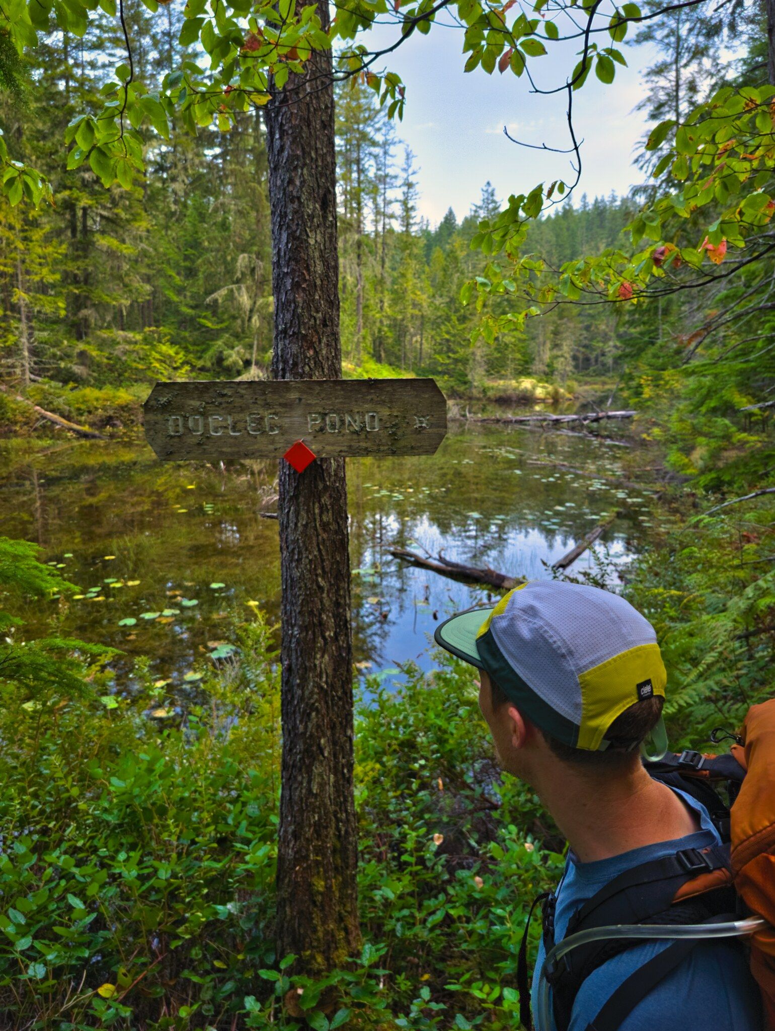
The Little Sliammon Lake “Shangri-La Camp” revealed itself to us a short while later. We took a few minutes to explore the area and found the dock, which mostly held our weight except in the far right corner where it was a little sinky, as well as two boats. Unfortunately neither boat looked watertight; the canoe had major damage through the fiberglass at the bow and stern, and the rowboat was half full of water in the mud beside the dock. Similarly to other lakes we’ve stopped at, there were an incredible number of dragonflies here and a lovely lack of mosquitoes.
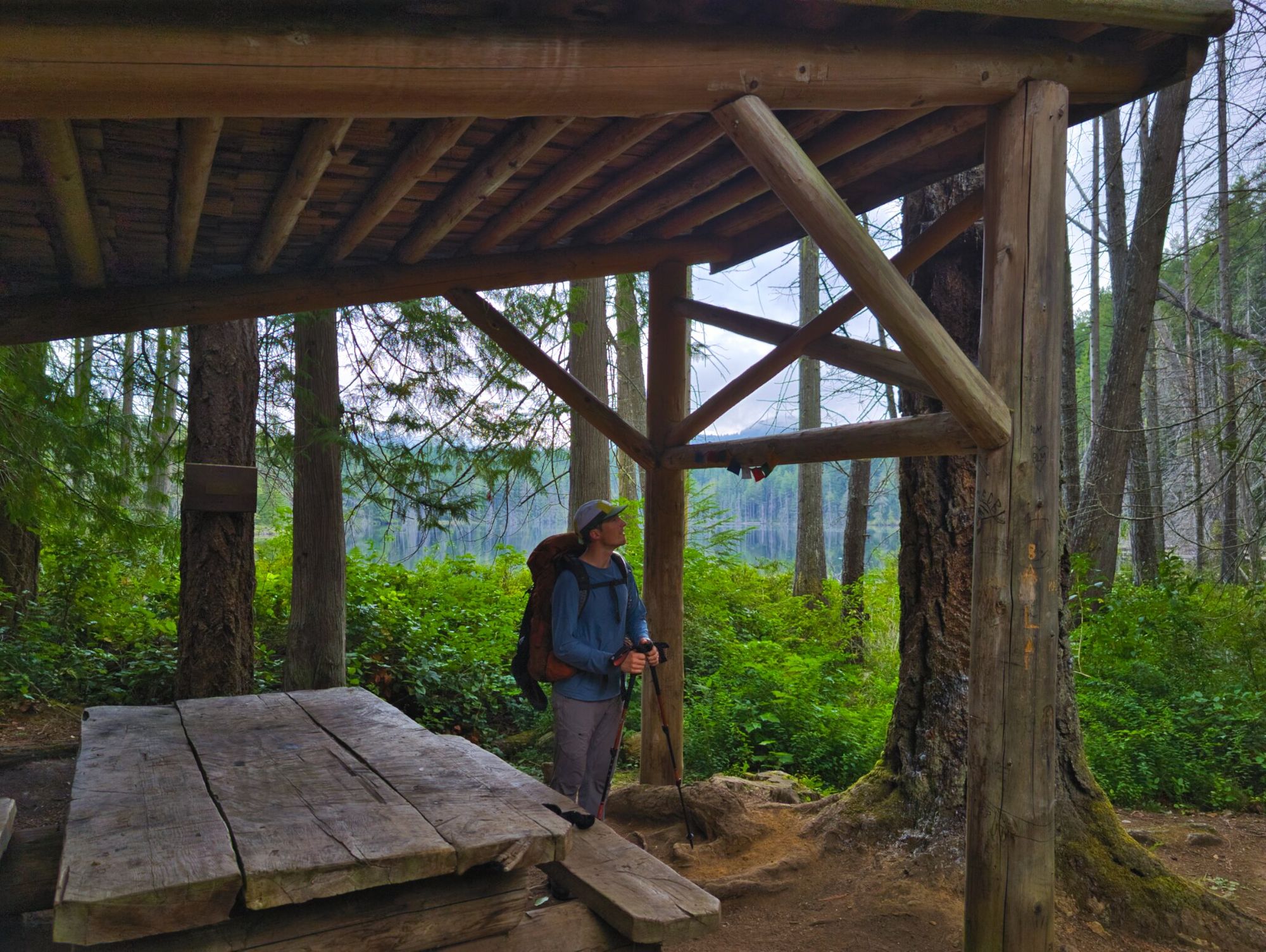
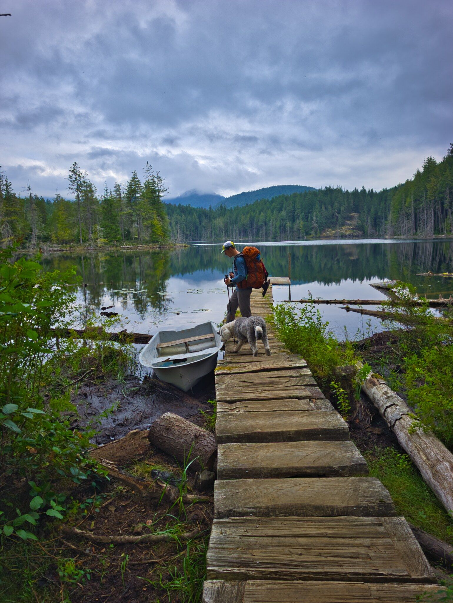
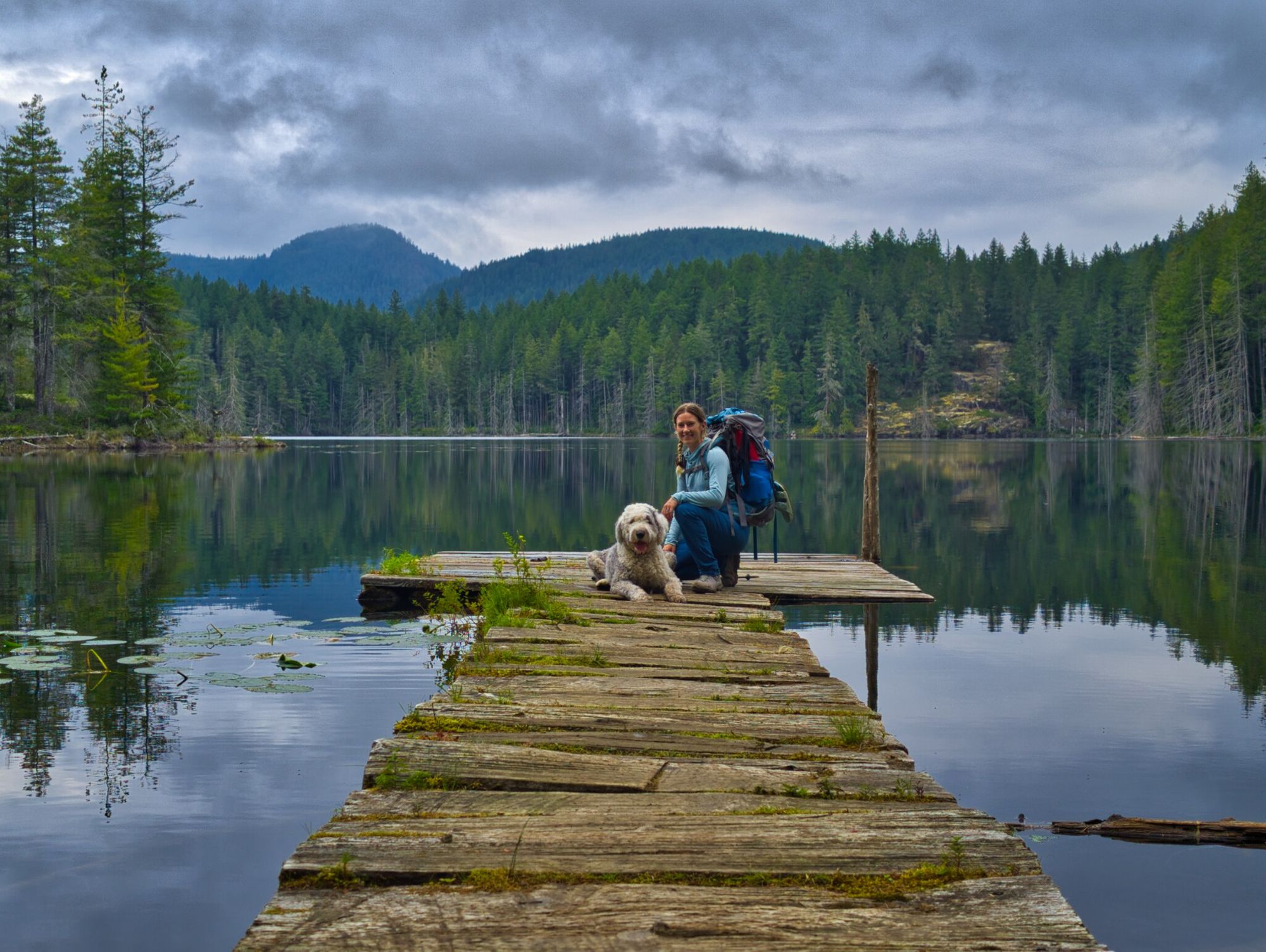
Little Sliammon Lake / Shangri-La Camp
Large shelter with picnic table; fire pit; bear cache; composting outhouse; dock onto the lake; canoe and rowboat (both in disrepair).
Water source: yes (lake).
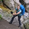
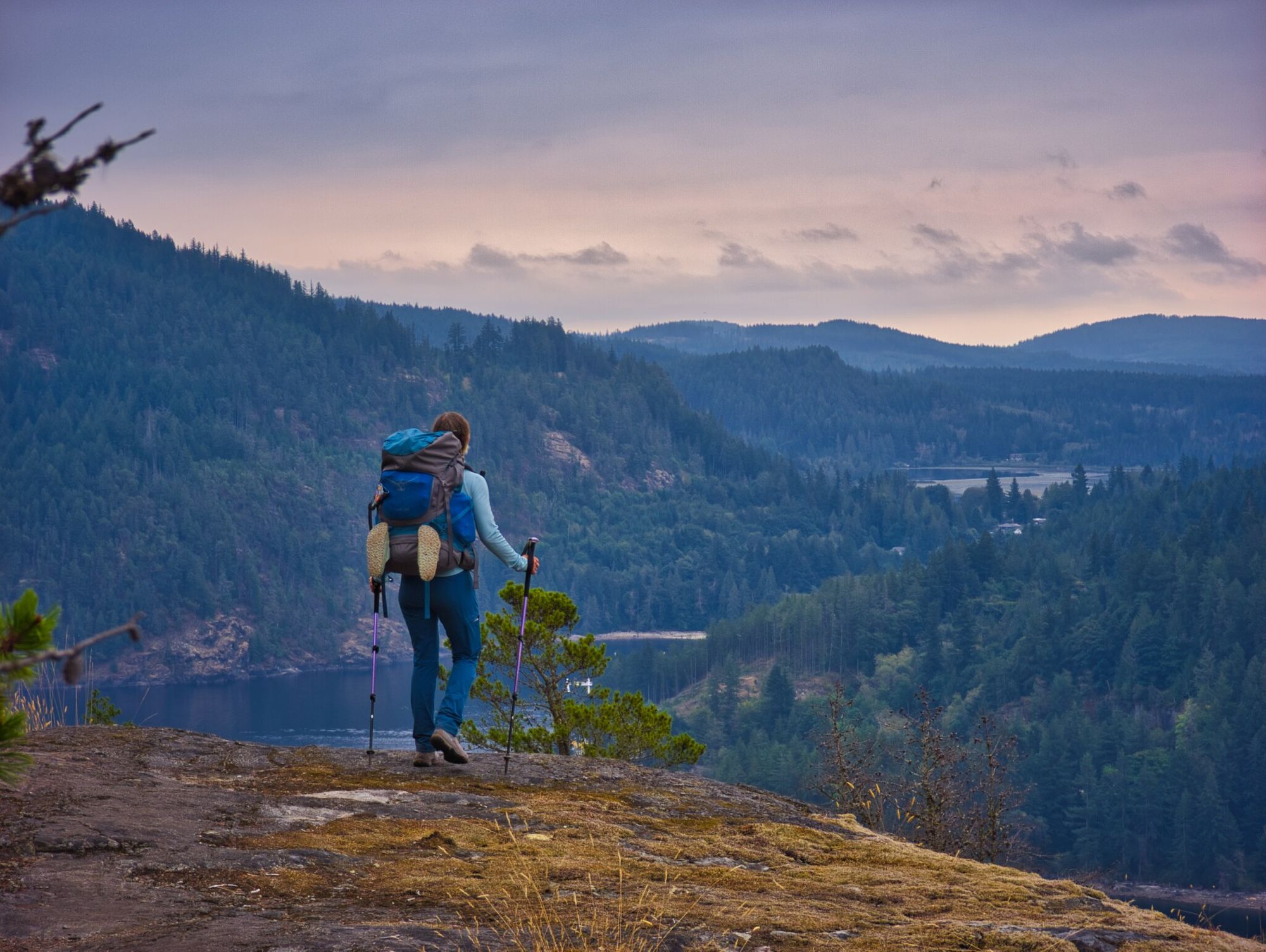
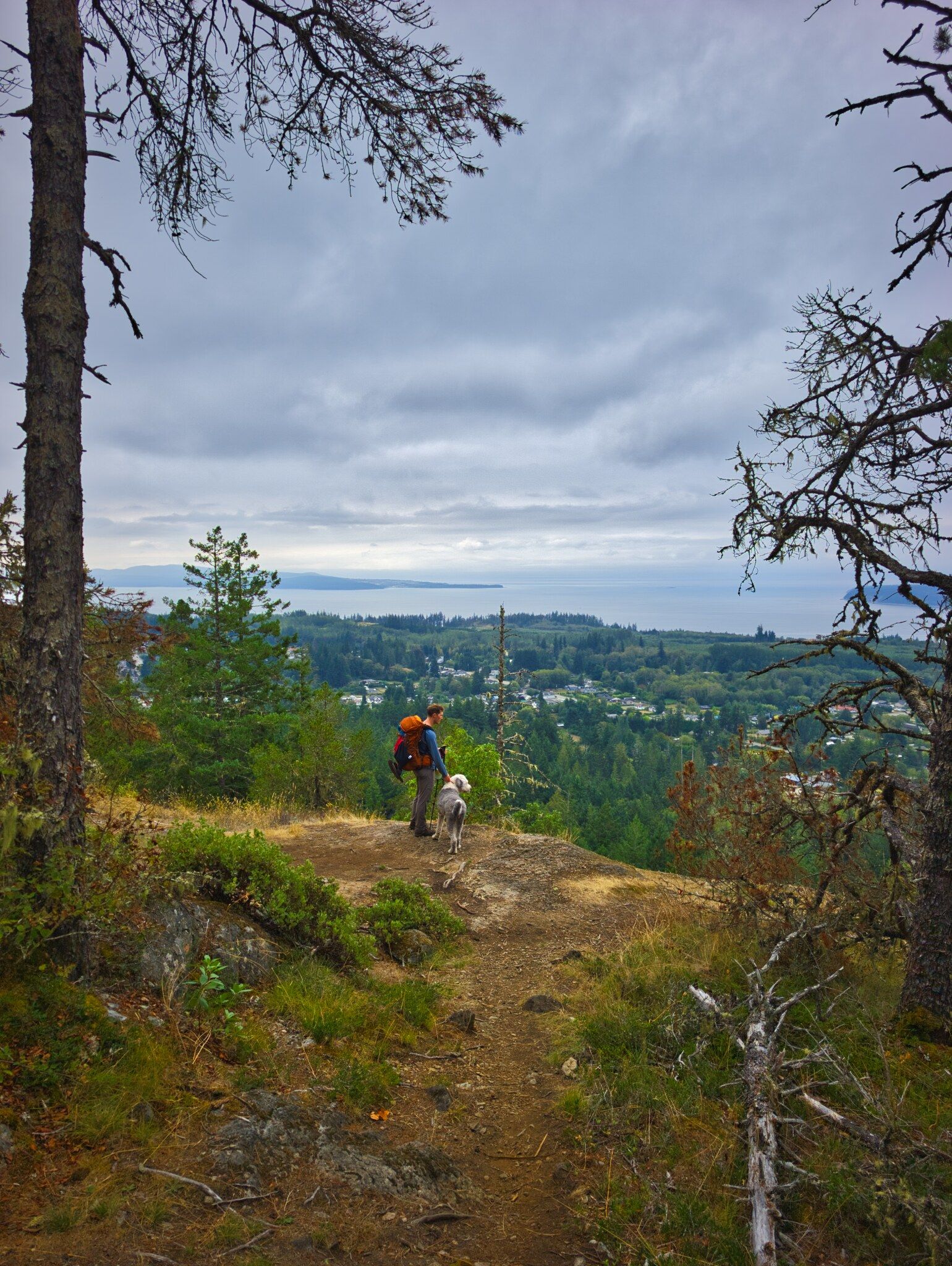
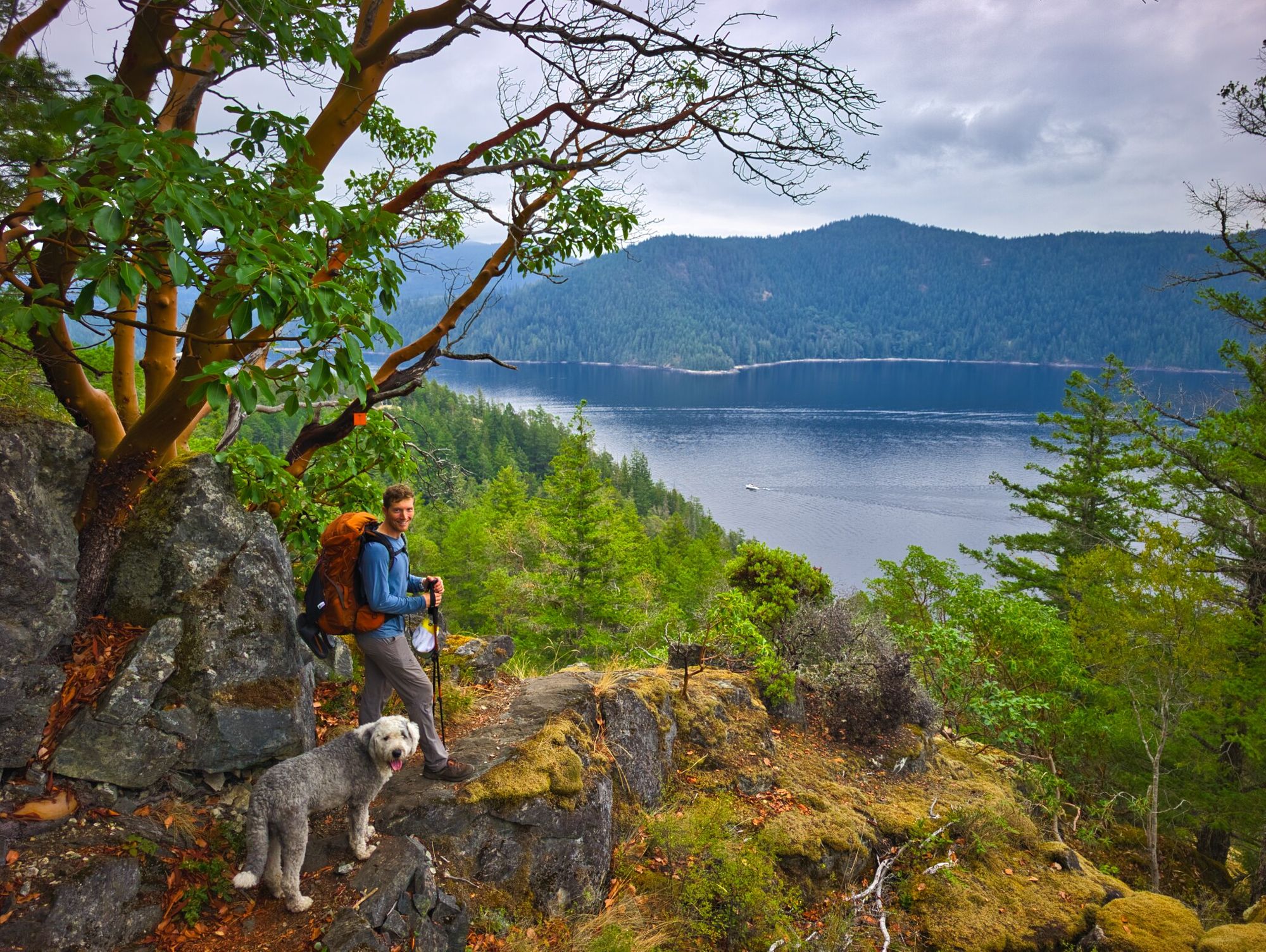
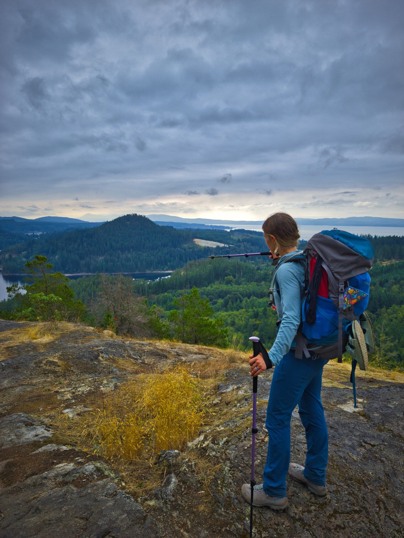
A nice smooth trail leads south from Little Sliammon Lake; after a few kilometres it joins a gravel road network leading towards Scout Mountain. The road led us up another of the punchy climbs that we are beginning to get used to on the SCT, prior to leveling onto dry arbutus meadows near the summit.
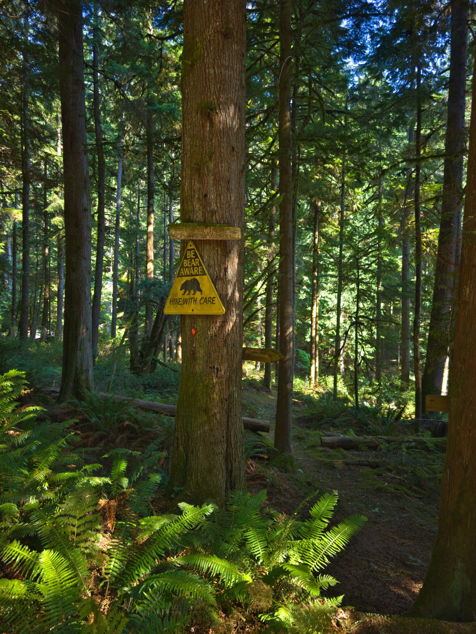
Scout Mountain was very reminiscent of some Vancouver Island hills, with lots of rock features and arbutus trees. We were getting set up to take some photos at a look off when Ryan (and Pluto) spotted an adolescent bear just slightly down the slope. Luckily Pluto's bark and Ryan's yell had it scampering away.
We considered and then decided against detouring to the proper summit of Scout Mountain, just not feeling the extra distance and climbing, so we started our descent towards Powell River, which was steep and a little loose in places. Despite the tough terrain, the trail here afforded some great views towards the end of Powell Lake.
As the trail levelled out and joined another logging road, we encountered lots of bear scat (like a pile every hundred metres) between kilometres 48.5 and 49.5, including one pretty big fresh pile. Commence shouting!
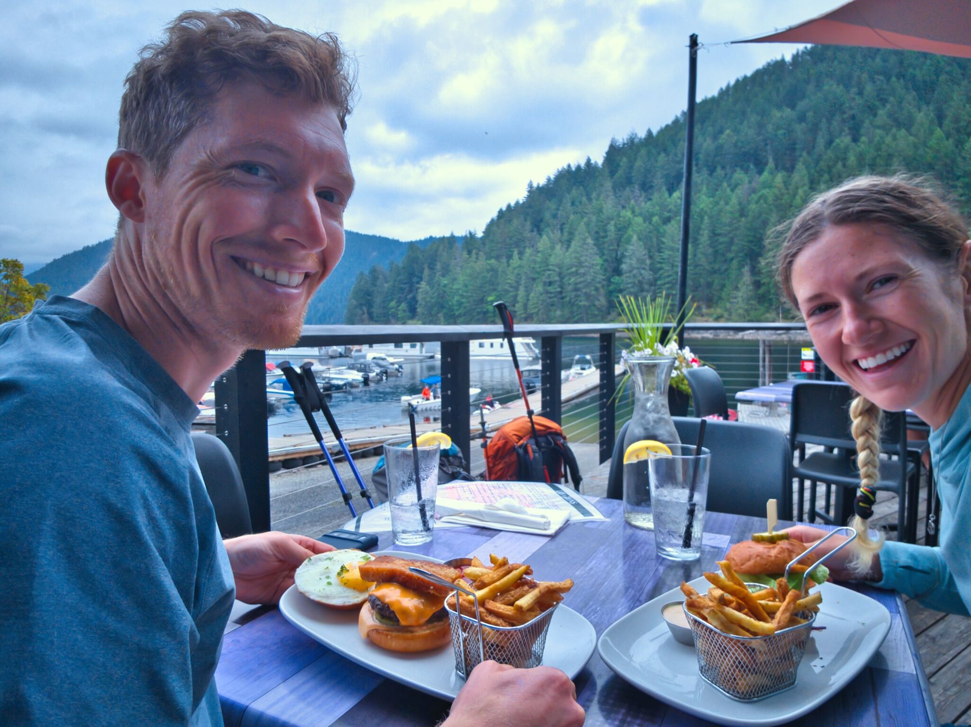
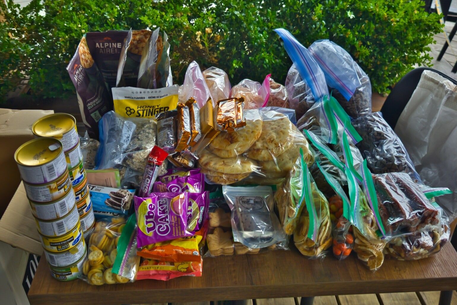
We were happy to not see any more bears before our stop at the Shinglemill Pub. We grabbed a burger each and picked up our resupply packages - holy that was a lot of food!!
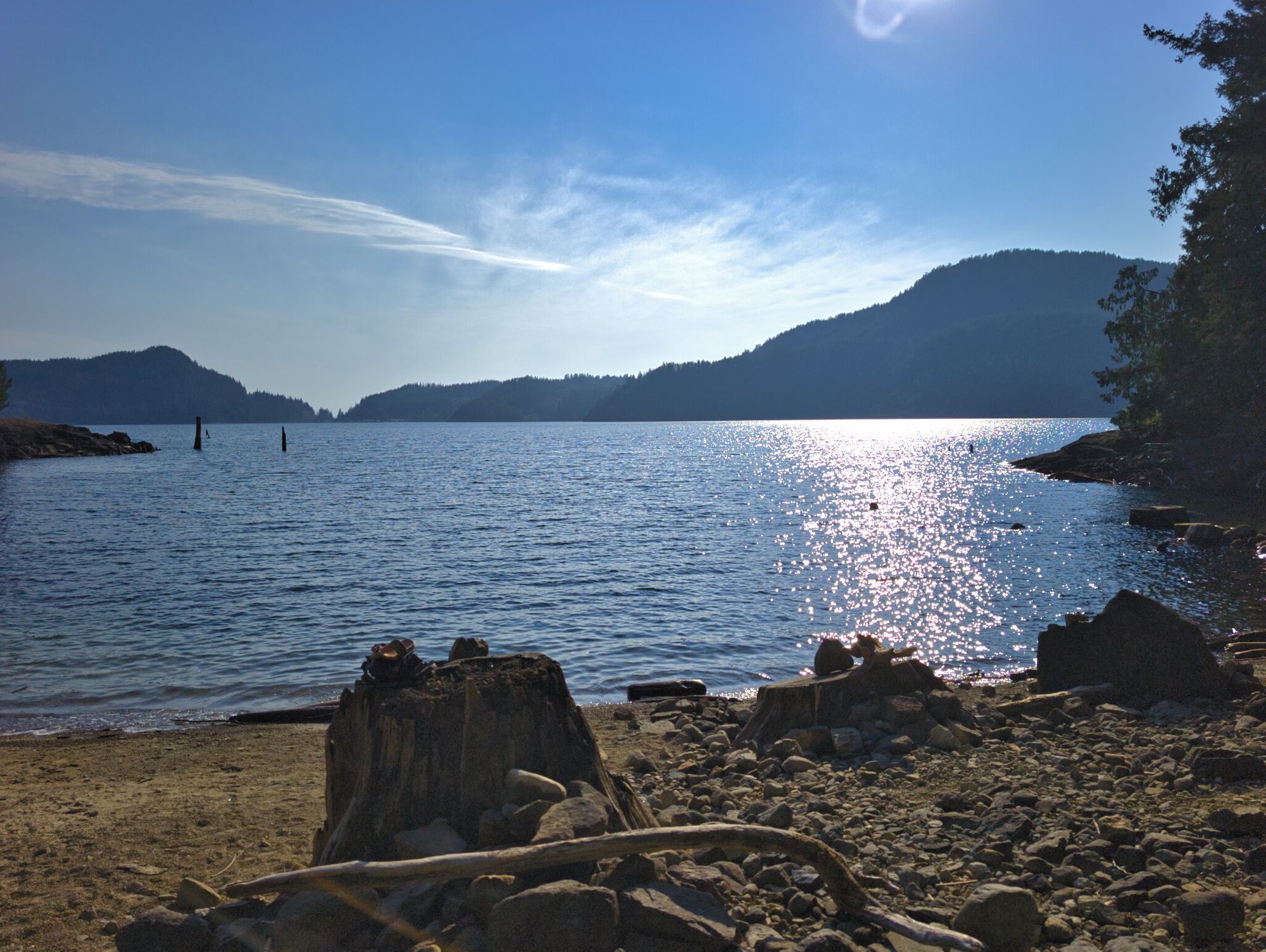
After lunch we trekked along the new trail to Mowat Beach Park, which was followed by a steep grind up the next bluff. It was made super tough by the new weight in our packs. The sun also broke through the clouds at this point, so the day got annoyingly hot. The grating climb was followed by a sharp descent to get us back down to lake level. We then followed the lakeshore past Tony's Point, a gorgeous little camping area.
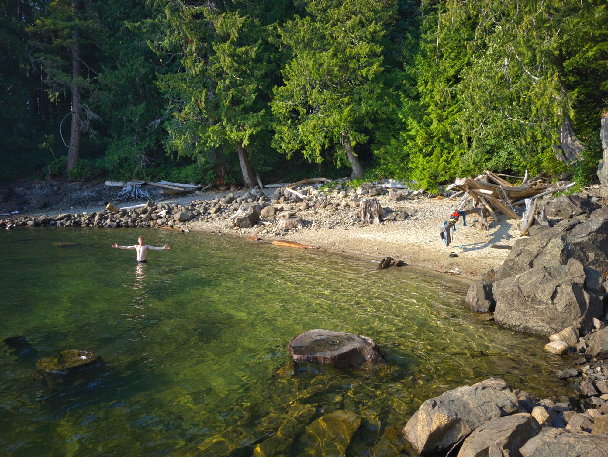
Tony’s Point Camp
Lovely rustic camping area; great water/swimming access; picnic table; fire pit; large tent pad (room for 2 tents).
No outhouse; no bear cache.
Water source: yes (lake).
We passed by the Powell River Discovery Center, which had many cabins available for rent for a three-night minimum or for big group outings including weddings. We were sad that we couldn't get a cabin for the night, it looked really quiet and peaceful. We would stay there next time if we could, rather than at Haywire Bay Campground.
When we arrived at Haywire Bay Regional Park just after 4:30PM, the campground initially looked pretty full; we were able to find a few empty sites and picked one that we hoped would be quiet. After setting up our tent, we had a nice swim in Powell Lake, which was much colder than the previous lakes we swam in. After that we made dinner, had lovely hot showers and curled into bed. Unfortunately, with the long weekend the campsite was pretty crazy with people partying until late in the morning, so we didn't get a ton of sleep...
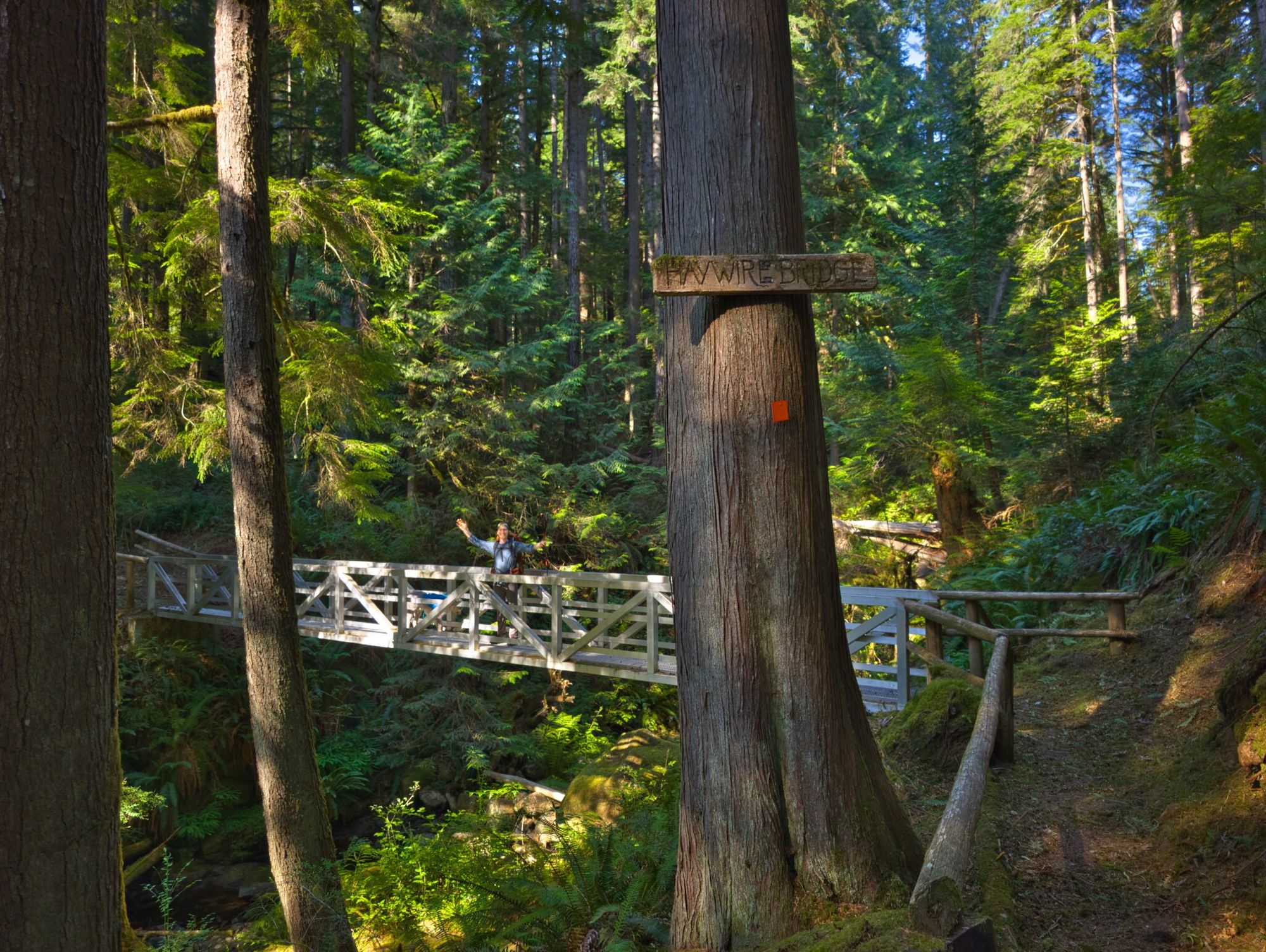
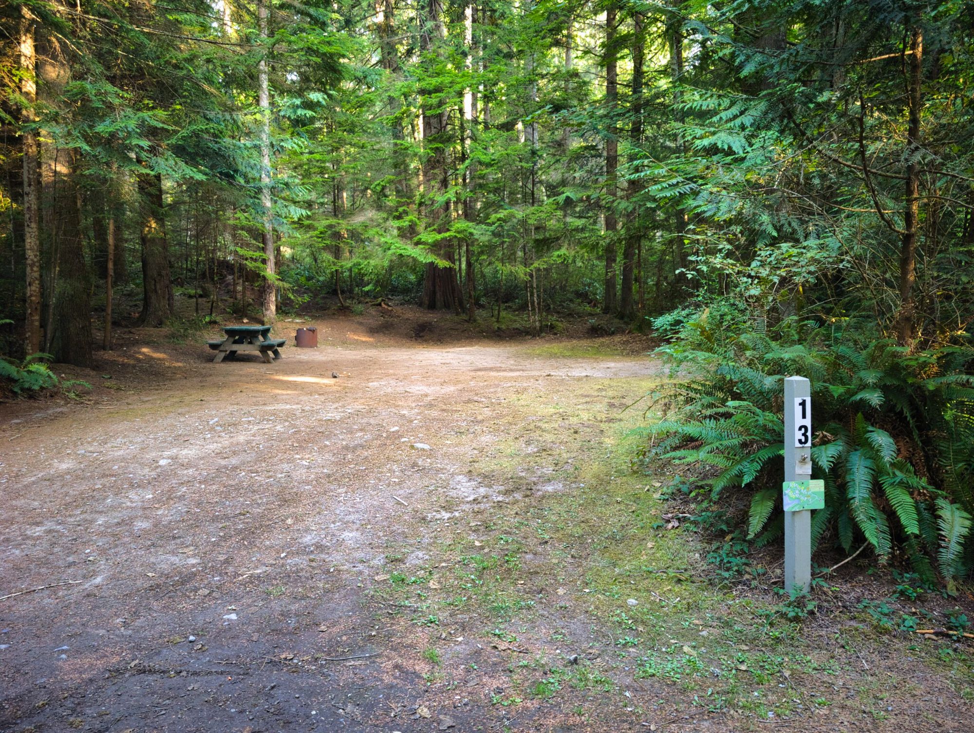
Haywire Bay Regional Park Campground
(Busy) frontcountry campground.
No bear bins – they expect people to store food in their vehicles.
Firewood for sale; outhouses; coin-operated showers (change available), $1 for 3 minutes.
Water source: yes (spigots throughout campground).
Fees: $30/party/night. FCFS only - reservations not accepted.
FAQ/General Trail Information
SCT Day 2: Manzanita Bluff to Sliammon Lake
SCT Day 4: Haywire Bay to Confederation Lake