SCT Day 2: Manzanita Hut to Sliammon Lake (Kokanee Creek Camp)
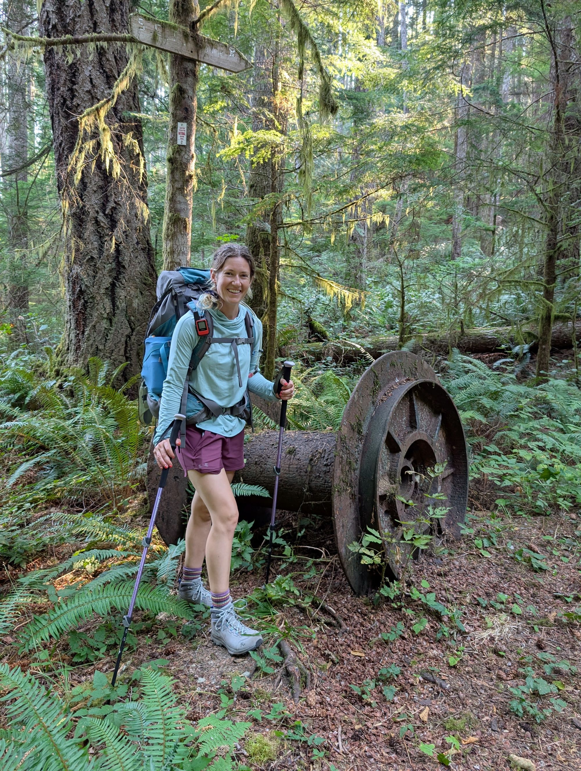
A 27km day of hiking brought us from Manzanita Bluffs to Sliammon Lake. We walked through lush coastal forests, past Rievely Pond Hut and multiple creeks, waterfalls, and small camping areas.

Hiked August 29, 2025
Quick Overview
| Distance/ Elevation | 27km, 1020m | ||||
|---|---|---|---|---|---|
| Water Sources |
Thulin Springs Creek (KM17.5)*seasonal - none when we hiked Fern Gully Creek (KM22.5)*barely flowing when we hiked Plummer Creek (KM26) Toquenatch Falls (KM26.5) Homestead (KM29) Rievely Pond (KM33.5) Appleton Creek (KM35.5) Kokanee Creek Campsite - Sliammon Lake (KM40) |
||||
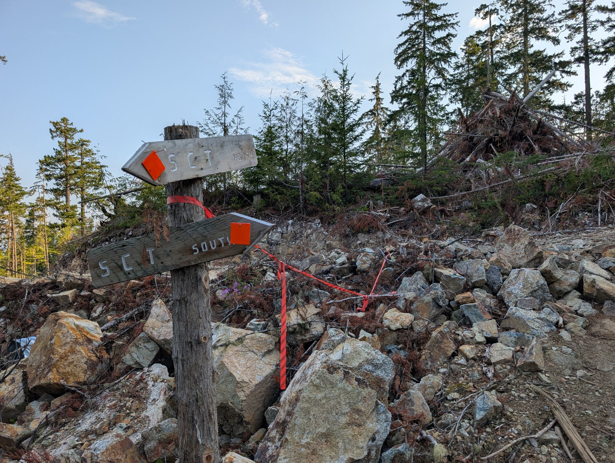
| Other Sections |
FAQ/General Trail Information SCT Day 1: Sarah Point to Manzanita Bluff SCT Day 3: Sliammon Lake to Haywire Bay |
||||
| Facilities |
Manzanita Hut: semi-open hut, composting outhouse, picnic tables, benches, fire pit, bear cache. NO WATER. Kokanee Creek: large wooded camping area, traditional outhouse, picnic tables, bench by lakeside. No bear cache. |
||||
**We had originally planned this day to be from Manzanita Bluff to Rieveley Pond Hut, which would have been a distance of approximately 17km.
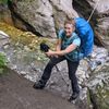
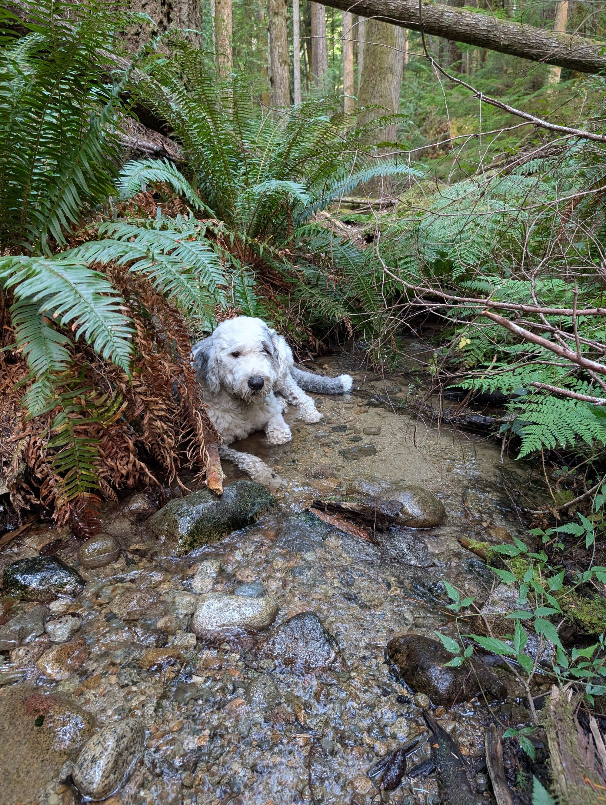
We awoke early to hear the dog whining downstairs. Ryan went down the ladder to check on Pluto, finding him limping badly. We comforted him as best we could and tried to find a cause of his limp to no avail. But with no water on the bluffs, we knew we had to carry on and see if he would improve. We were super worried… We loaded Pluto's pack into Ryan’s and hit the trail slowly, leaving the hut just after 8:00AM.
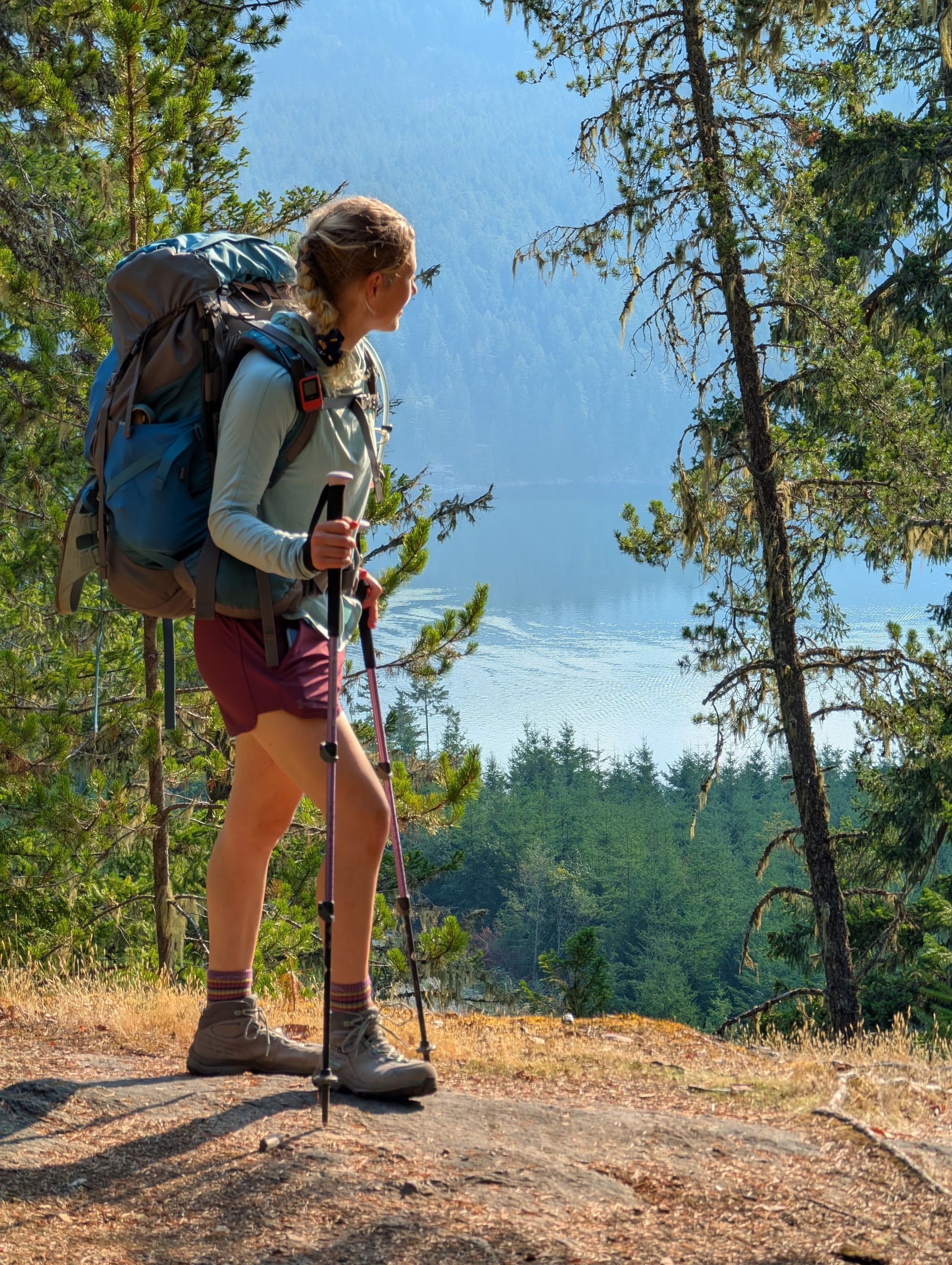
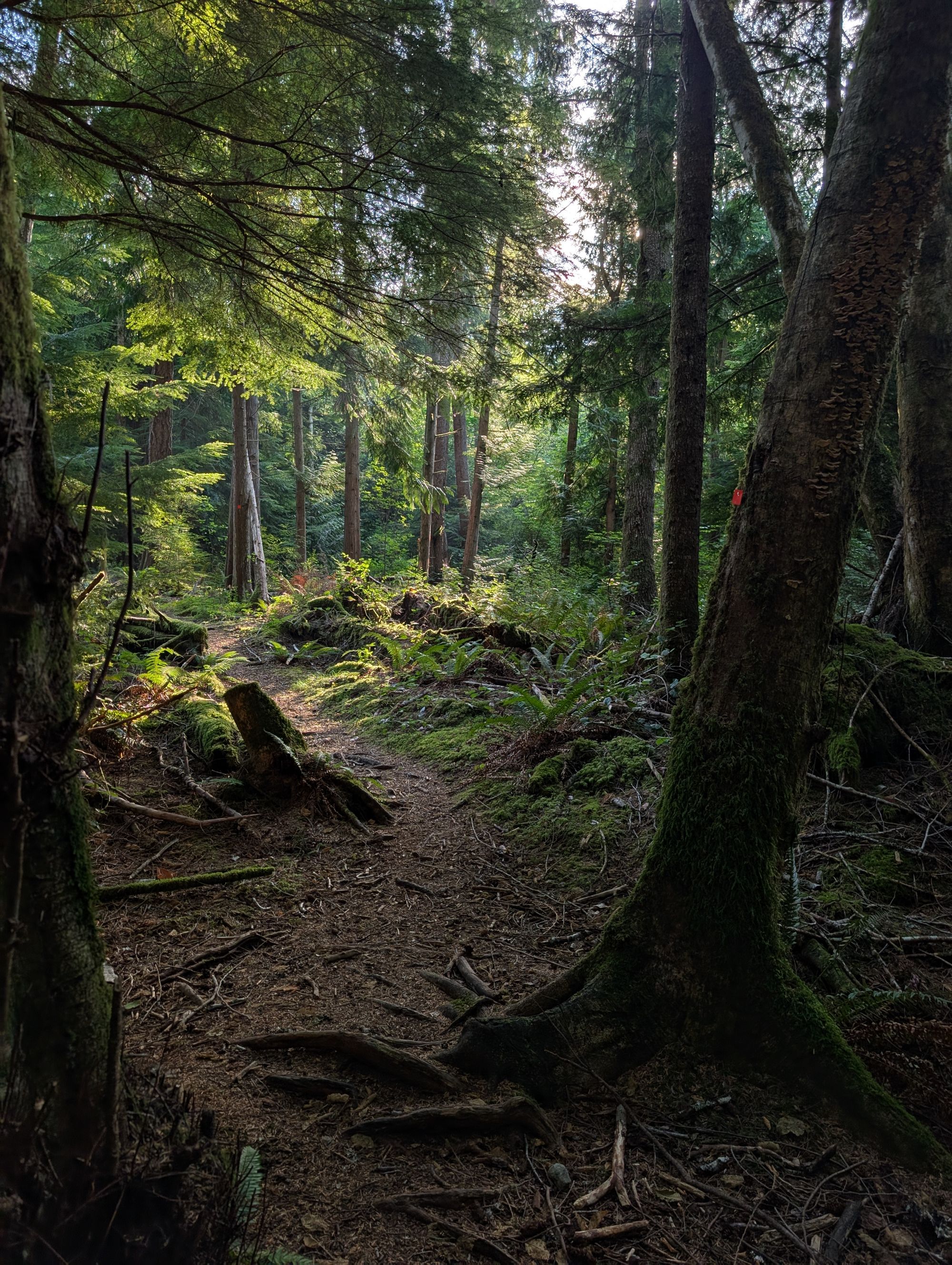
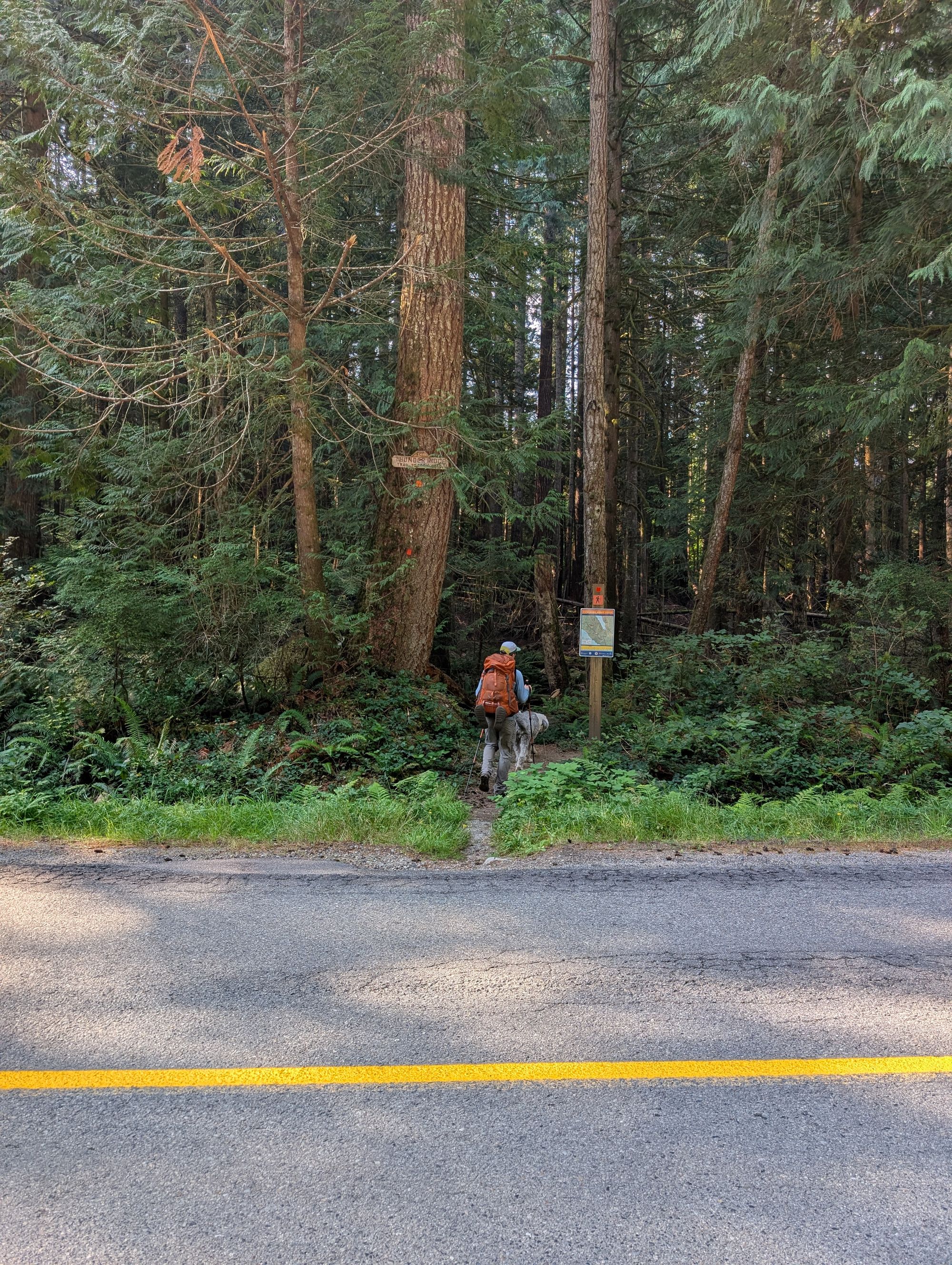
Our day started with a long, gentle descent from Manzanita Bluffs. The trail through this section is no longer within Park boundaries, so we started to pass along the edges of big cut blocks. There were several areas that seemed like new sections of the trail had been cut to bypass logging slash.
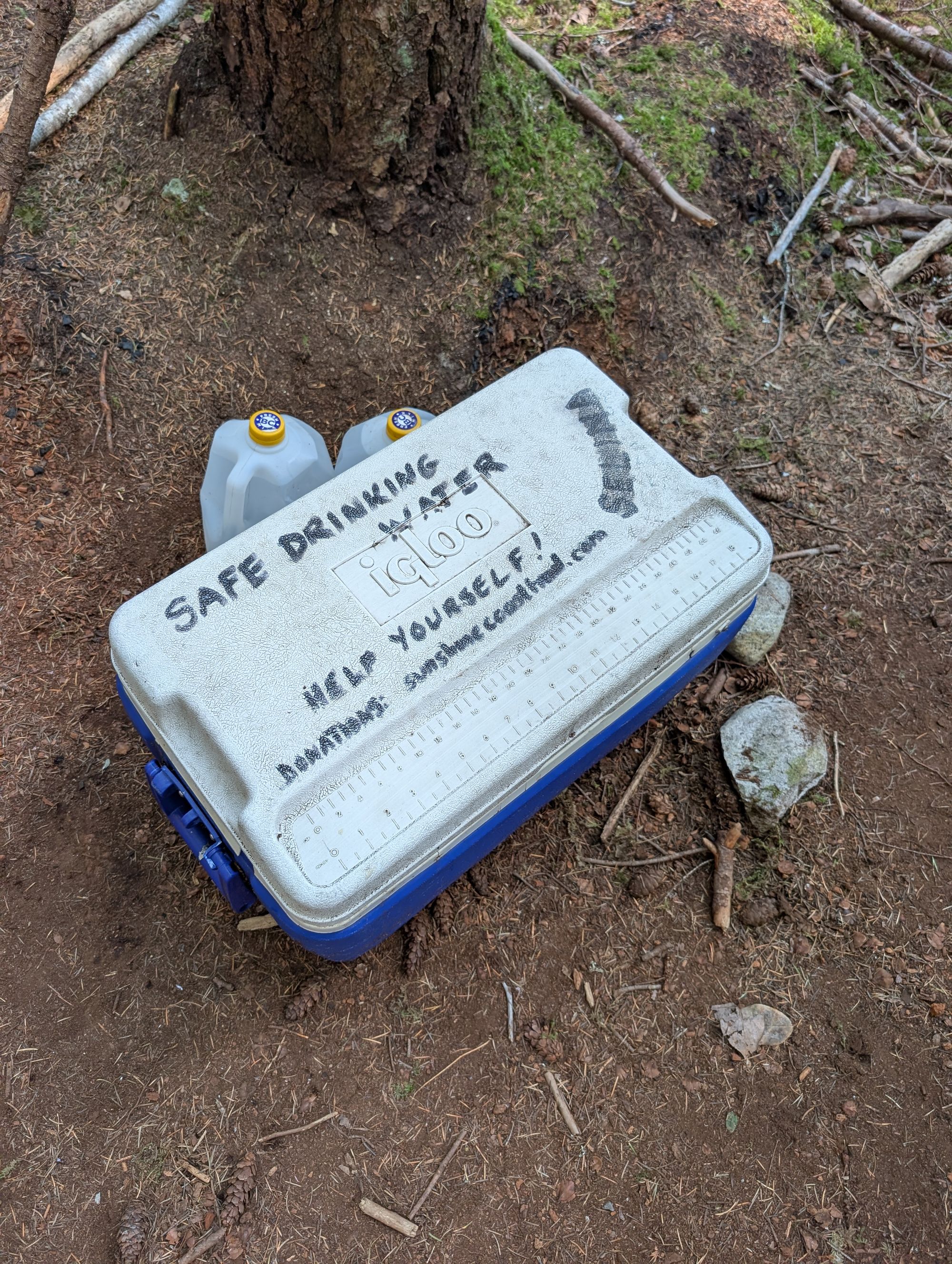
Volunteers had placed a cooler full of clean drinking water at approximately KM21, on the north side of the trail junction with Malaspina Road. We wished that we’d known that resource was going to be there ahead of time, as it would have saved us from having to carry quite so much water all the way from Wednesday Lake; however, based on the info we had at the time, we made that decision to carry all that water. If we hadn’t, we would have been soo thankful for the volunteers!
We passed Fern Gulley Creek and camping area at KM22.5, but there wasn’t enough water flowing to really be able to fill up. The camping area was fairly rustic, with no outhouse or bear cache, but plenty of flat areas to pitch a tent. It was maybe around this point in the day that Pluto seemed to be cured of his limp, but he still wasn’t as bouncy or energetic as he’d been the day before.
Fern Gully Camping Area
Rustic camping area; no outhouse; no bear cache.
Water source: yes (creek).
We finally found our first source of *running* water about 10km south of Manzanita Hut, at Plummer Creek (KM25). By this point in the day, we needed to refill for ourselves and Pluto, so we stopped for a snack and to fill water. We found a sweet little spot in the stream where he was able to lay down in shallow water and cool down!
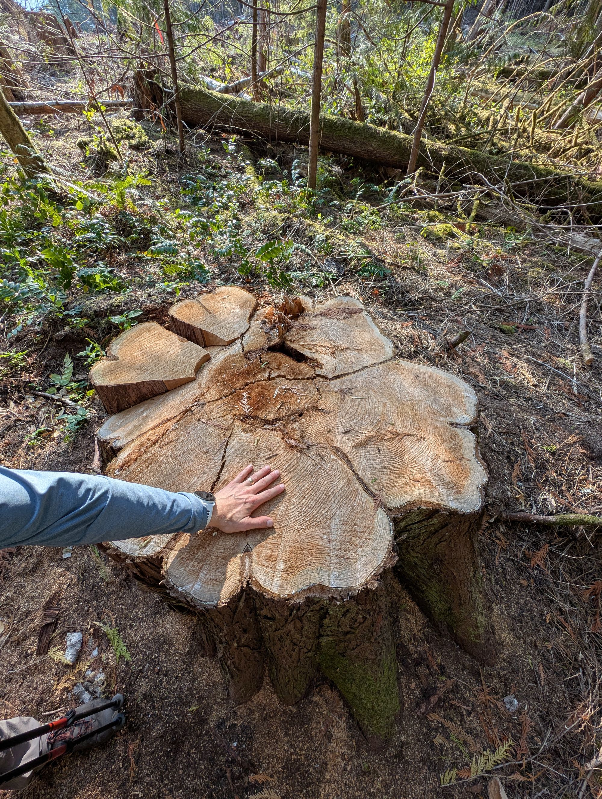
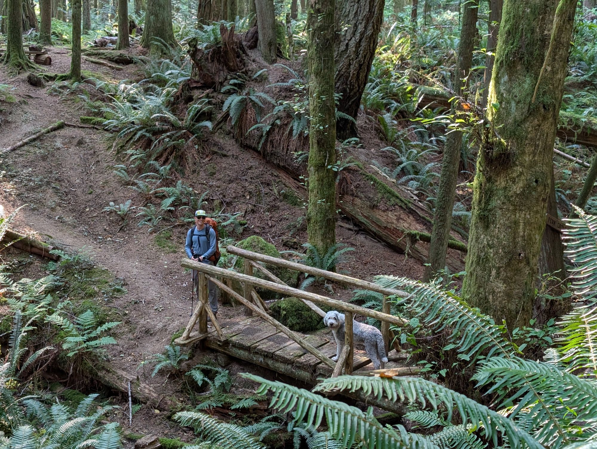
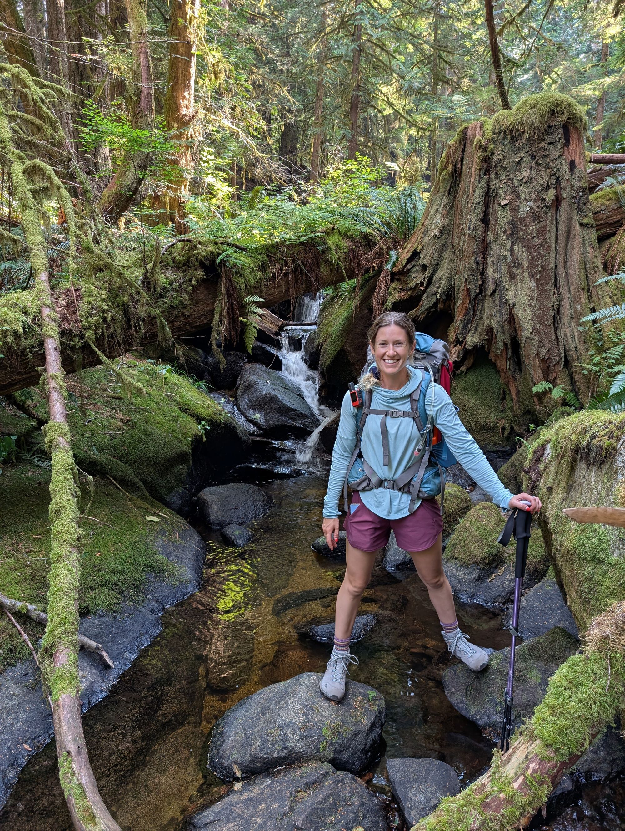
After that, we followed the creek uphill through the Toquenatch area. It was a really beautiful section of forest dominated by the increasingly large river gully next to the trail. This section also featured many boardwalks; while everything was dry as we passed through, we could imagine the boardwalks protecting hikers from deep mud in the earlier season.
We stopped for lunch at the turnoff to Homestead Camp, just before KM29. We didn't go into the rec area at all; we read that it's pretty abandoned at this point. There was a clean outhouse at the parking area just past the bridge.
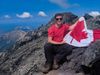
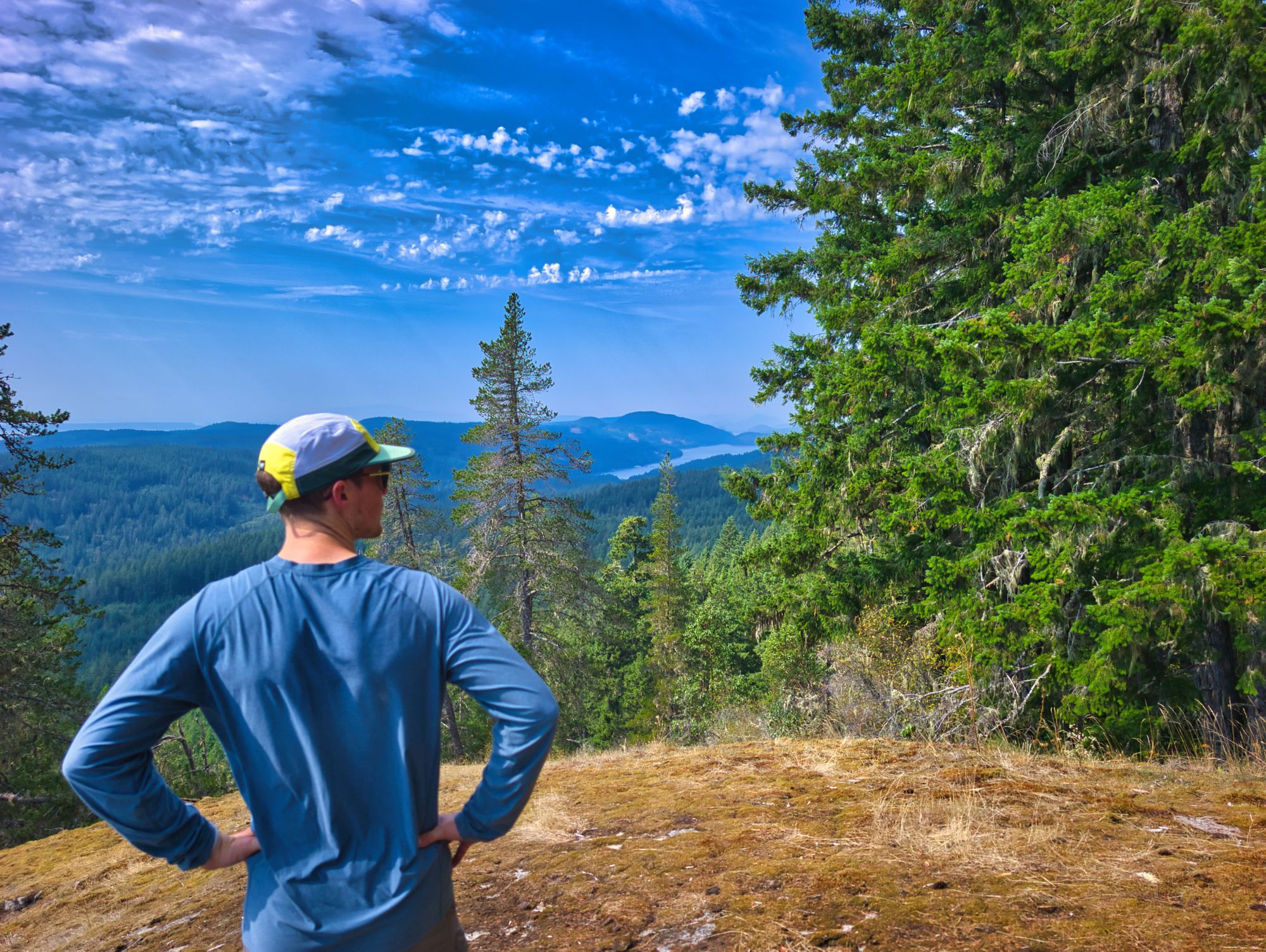
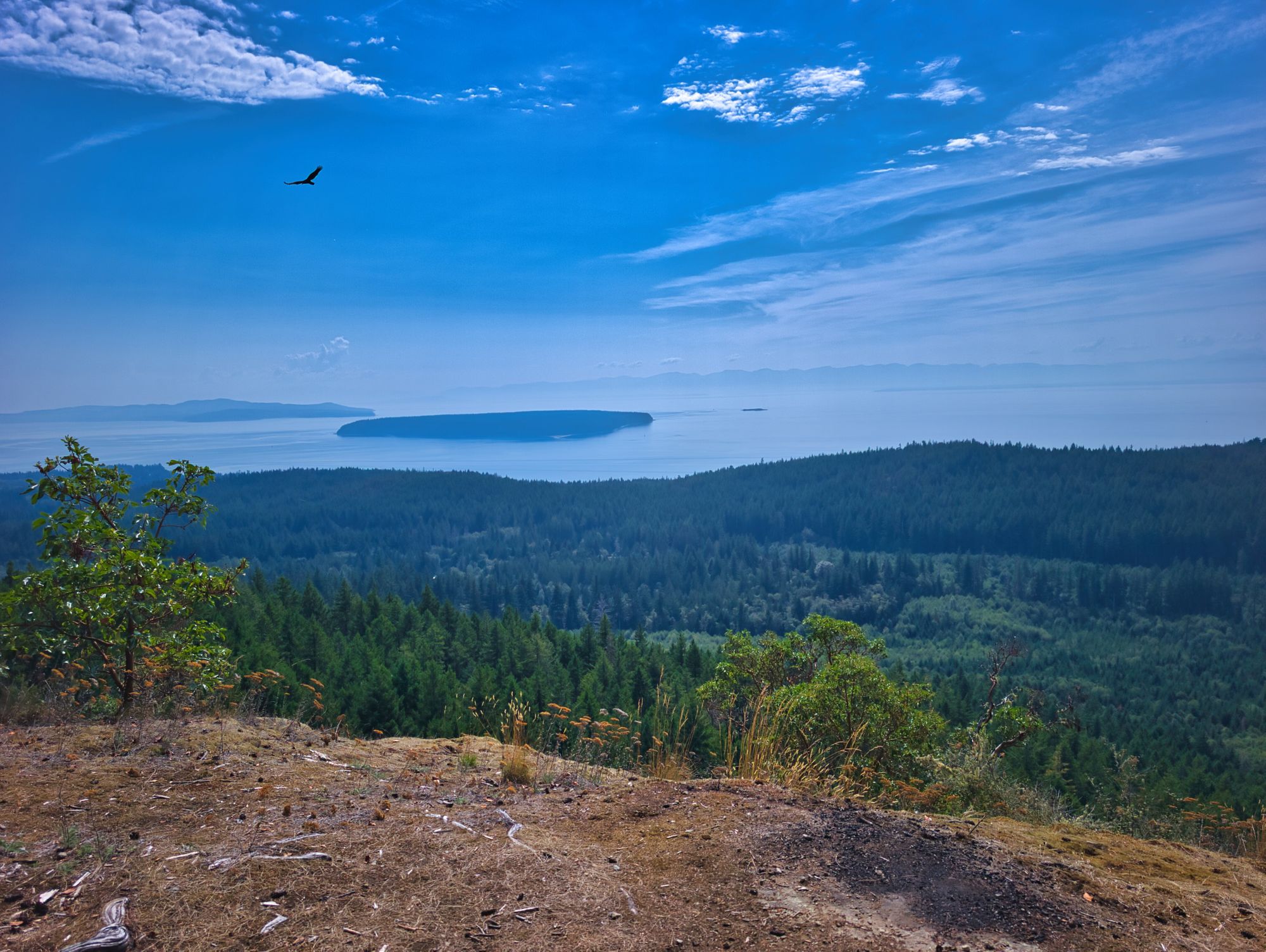
After lunch we started the steep climb up from Homestead towards Gibraltar Lookout. It was a pretty savage climb, working steadily up towards a higher plateau. Gibraltar Lookout was hot and dry, but had a commanding view towards the strait and Vancouver Island.
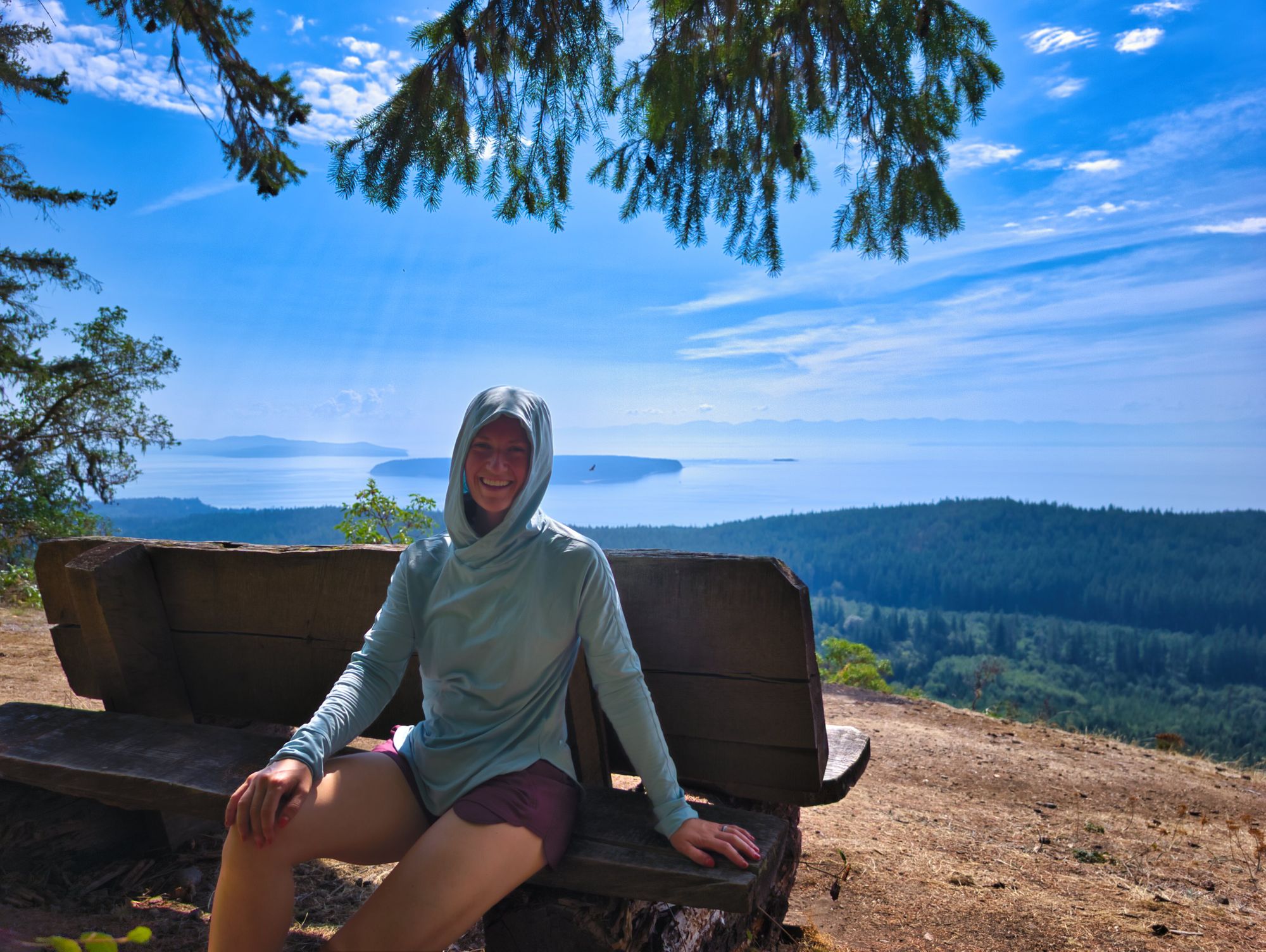
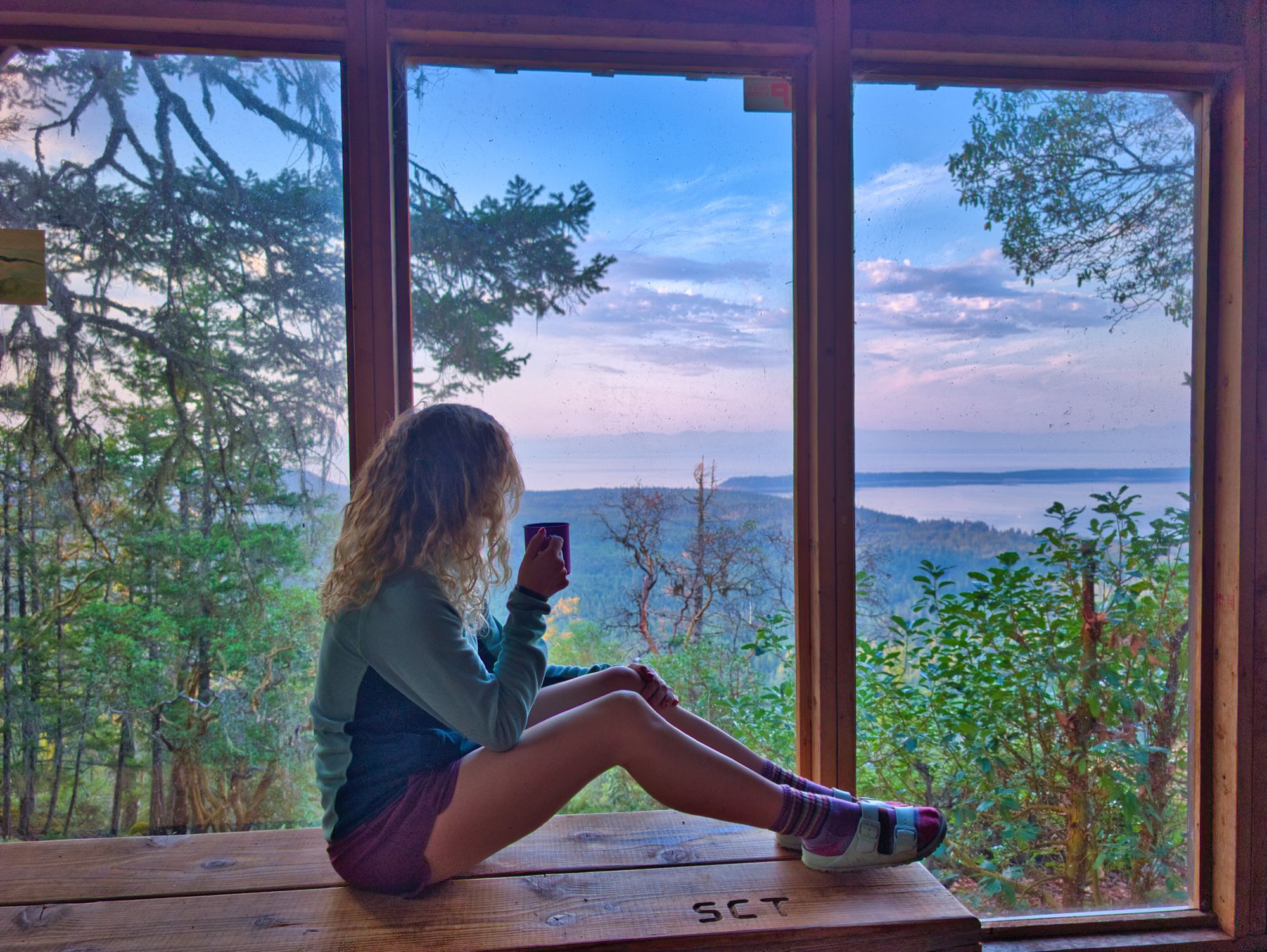
Two kilometers on from Gibraltar, we arrived at our planned destination for the night, Rievely’s Pond Hut, at about 3:00PM. We were uninspired by the setting at Rievely - it was serene but kind of boring, plus the pond didn’t look great for drawing water or swimming. Based on all that plus the early time of day, we decided to carry on to Kokanee Creek campsite along Sliammon Lake.
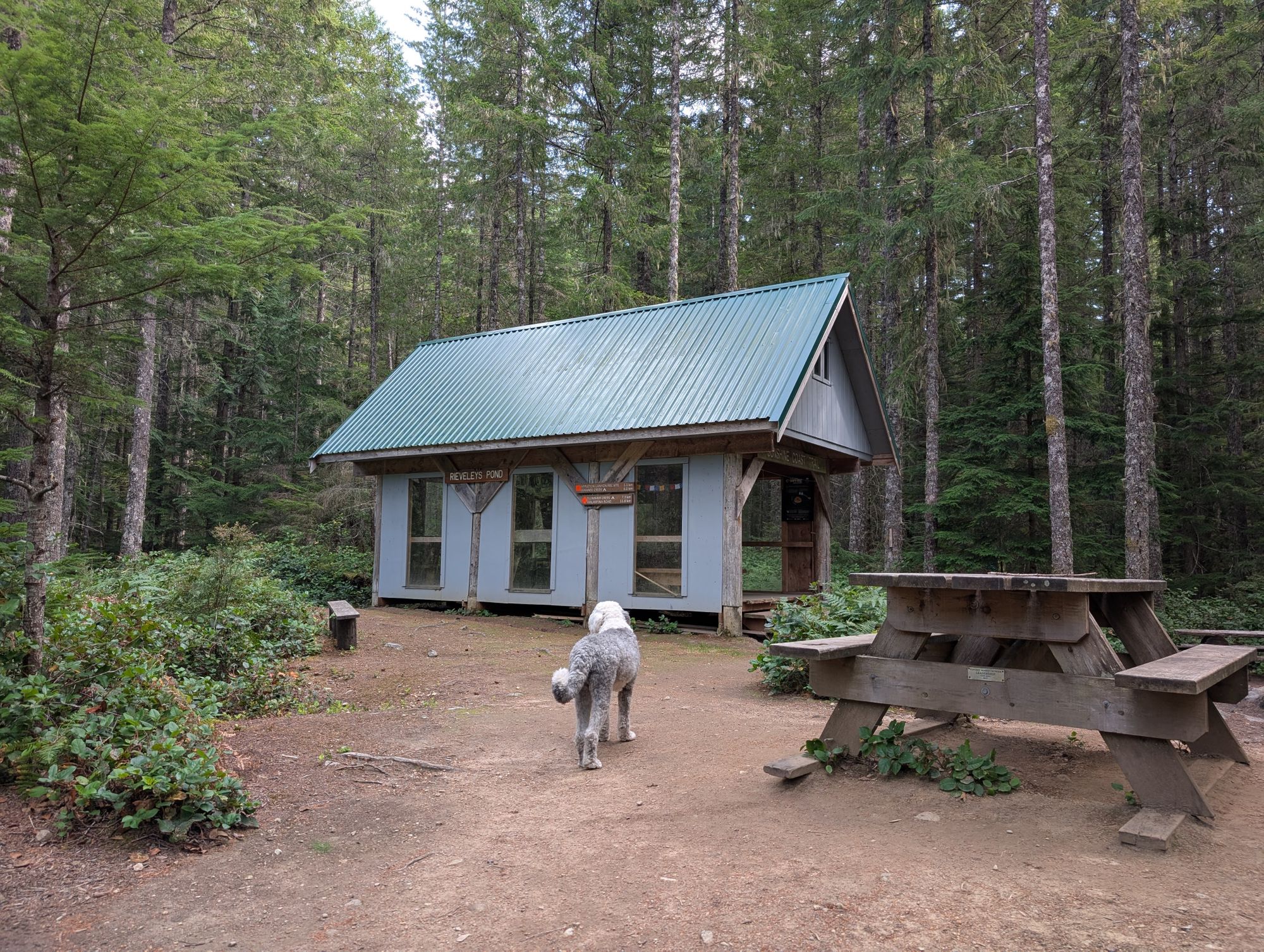
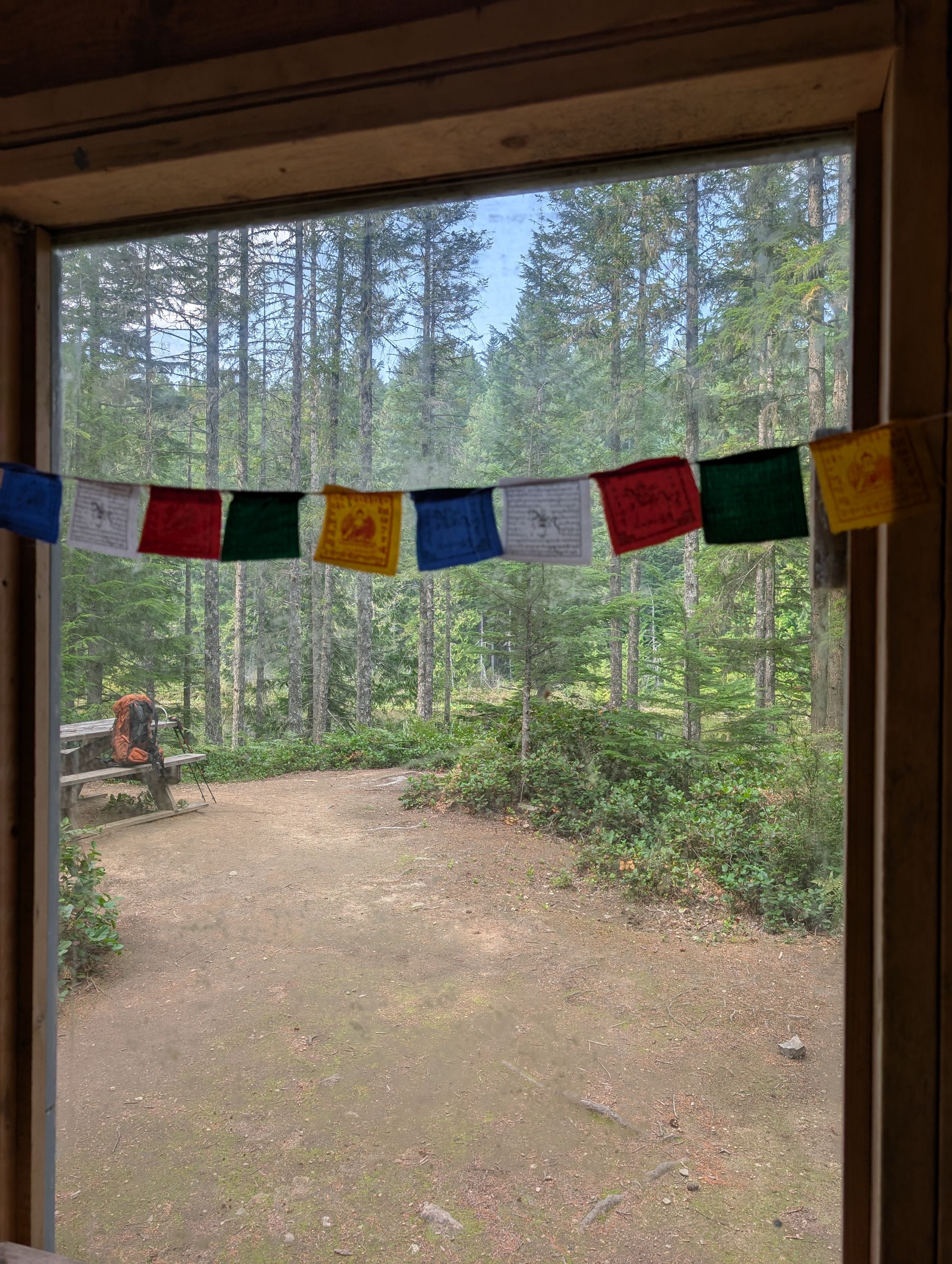
Rievely Pond Hut
Semi-open lower floor.
Composting toilet; picnic tables; fire pit with bench; a couple spaces to set up a tent.
Boardwalk into pond is destroyed; would not be great for swimming – very mucky bottom without a decent access route.
Water source: yes (pond).
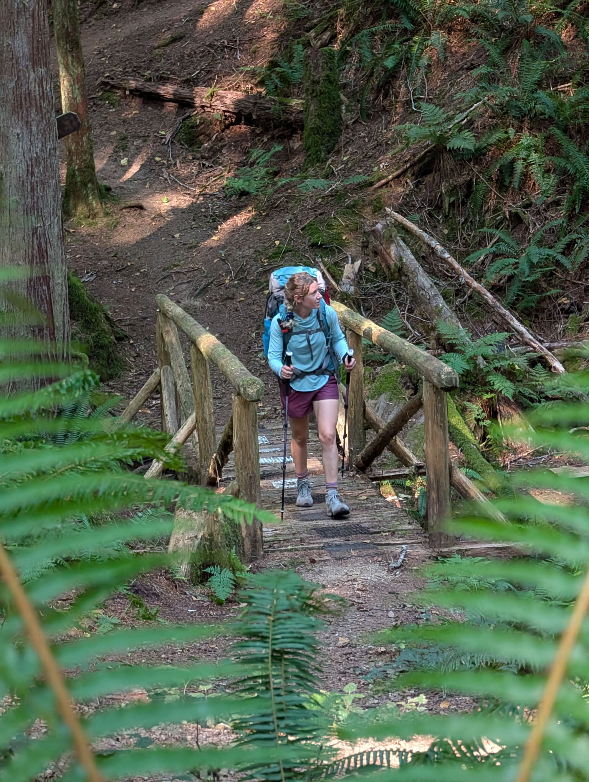
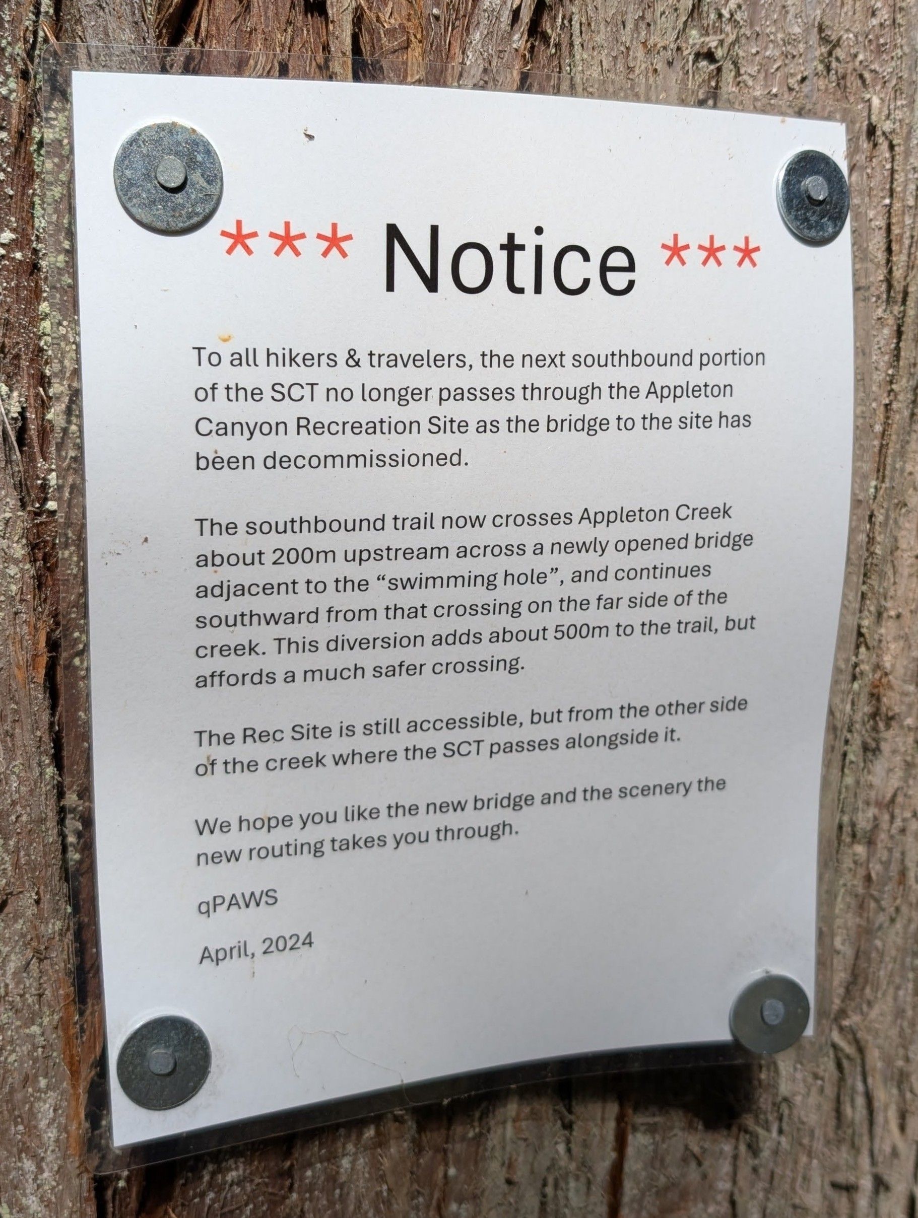
After leaving Rievely Pond behind we passed by the BC Parks Appleton Rec Site (which was really pretty) but we found that we had to take a ~500m detour as the old bridge had been decommissioned.
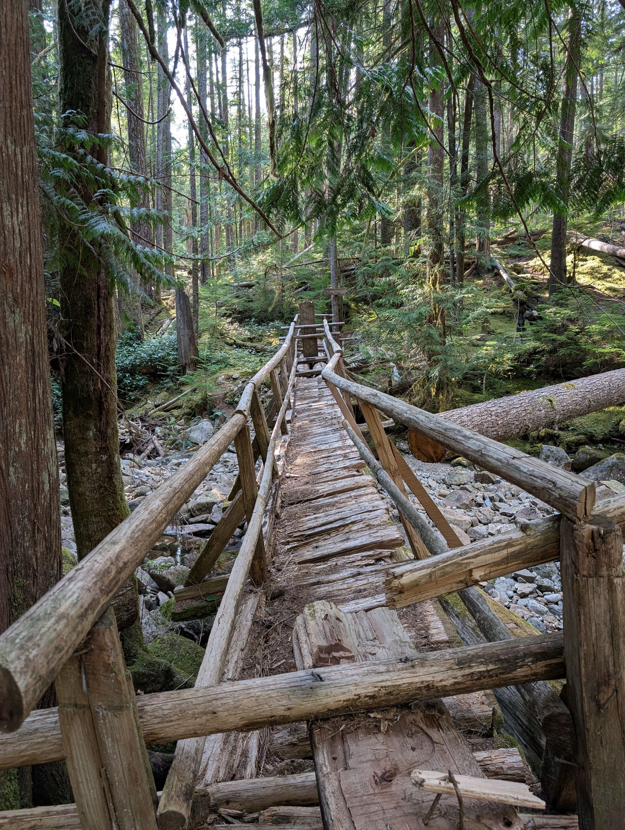
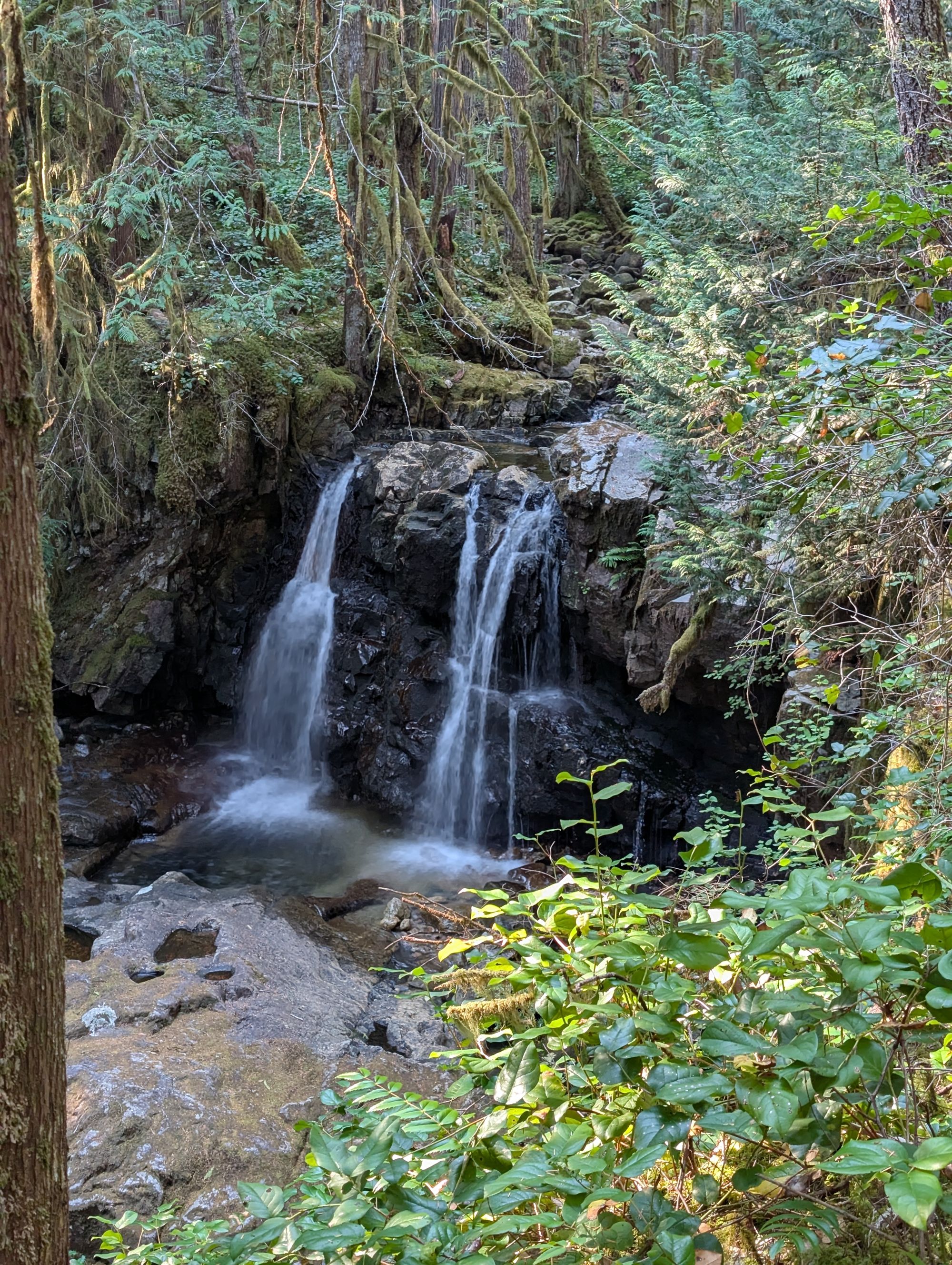
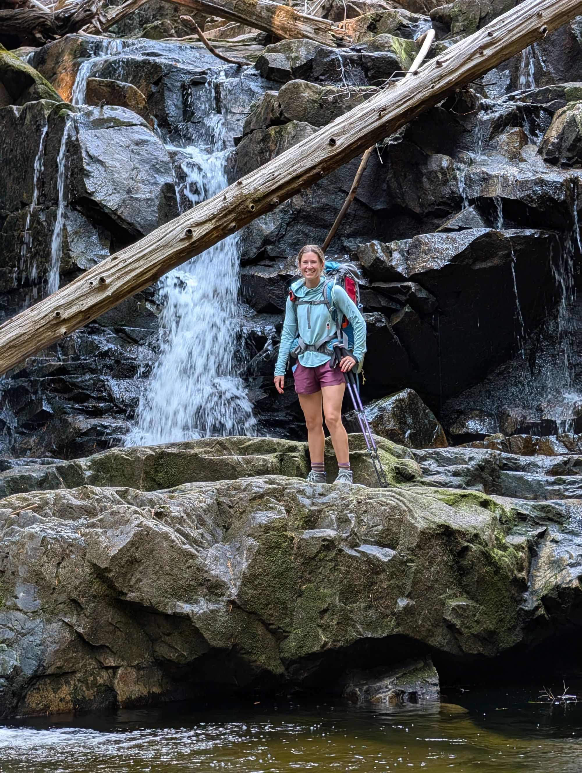
After the rec site, we followed the river gully downstream which had lots of small waterfalls and pools to look at. We ended up doing a number of detours to look at sights on the way.
We were definitely getting footsore as we got to the bottom of the gully, only to find that the trail wound up over more bluffs on its way towards Sliammon Lake. As the day was getting later and we were getting hungrier, we were eager to get into camp. We passed Theyeth Lake with little pause, and the same as we walked up the bluffs over Sliammon Lake. A quick descent on the south side of the bluffs had us arriving at the Kokanee Creek/Sliammon Lake campground between 5:30 and 6:00PM.
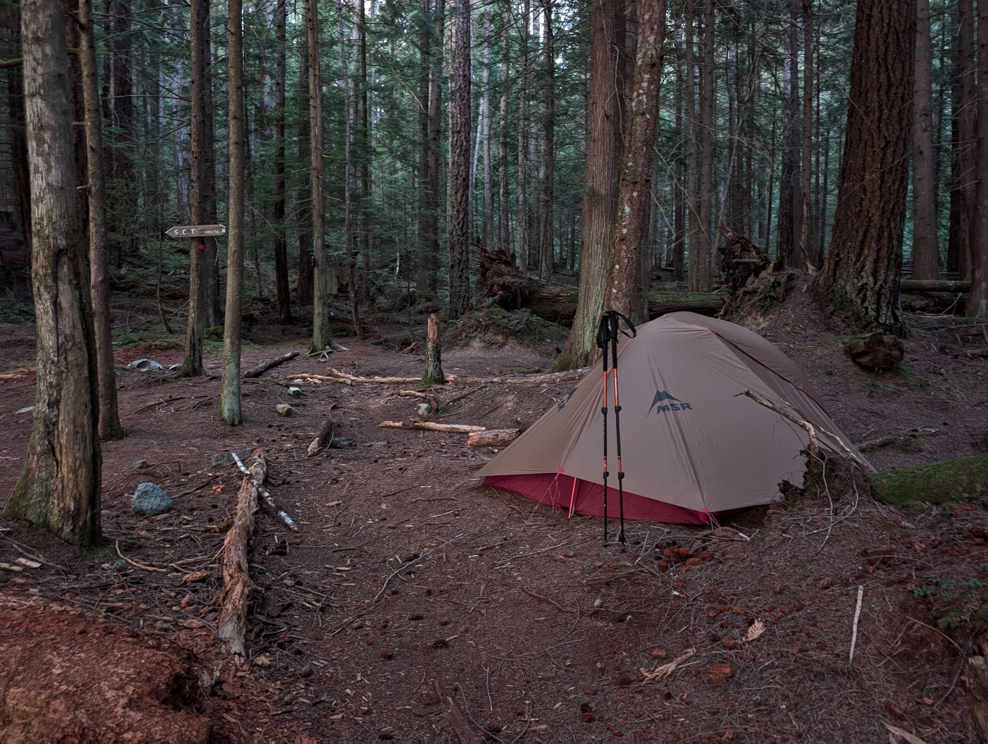
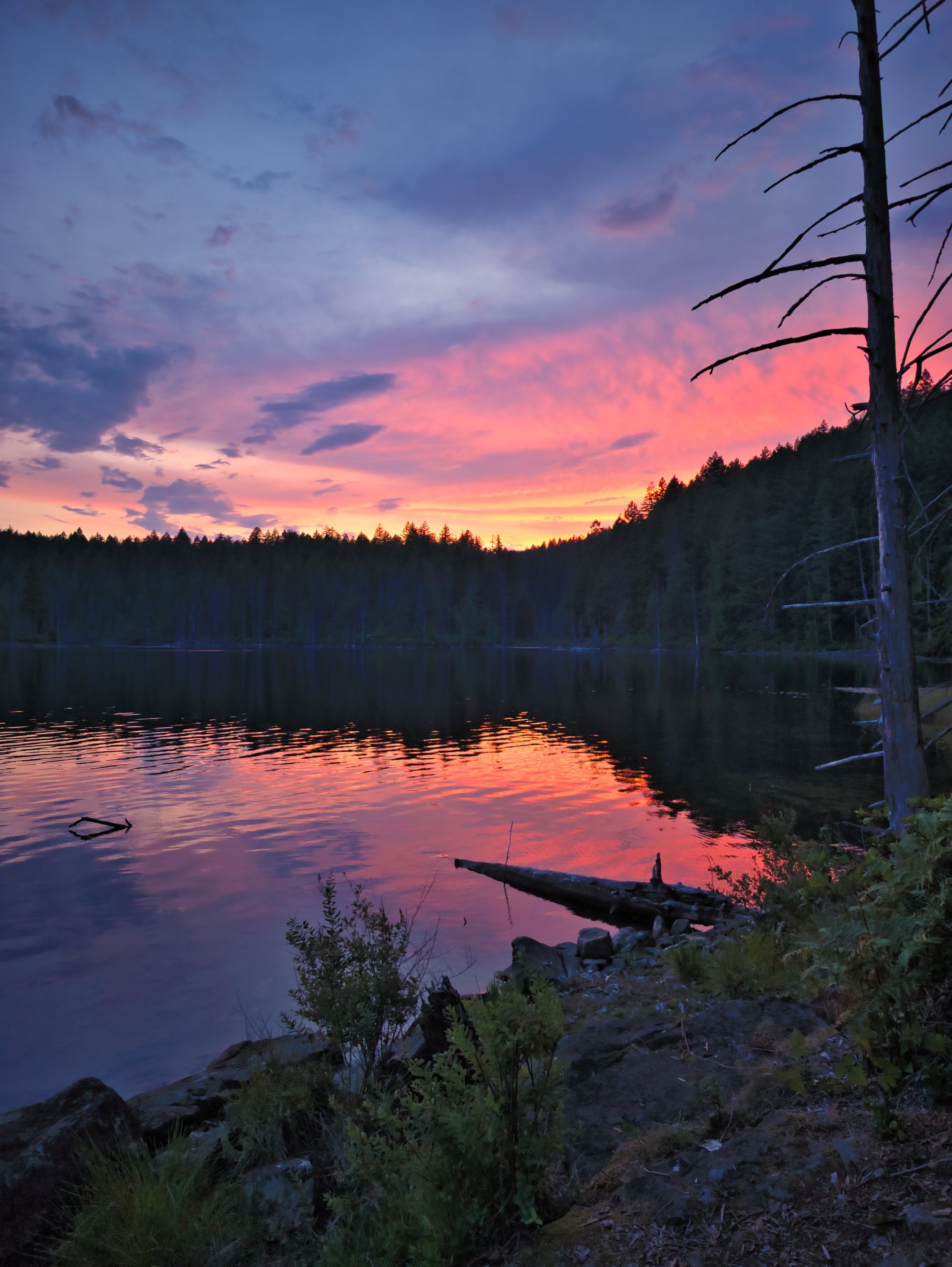
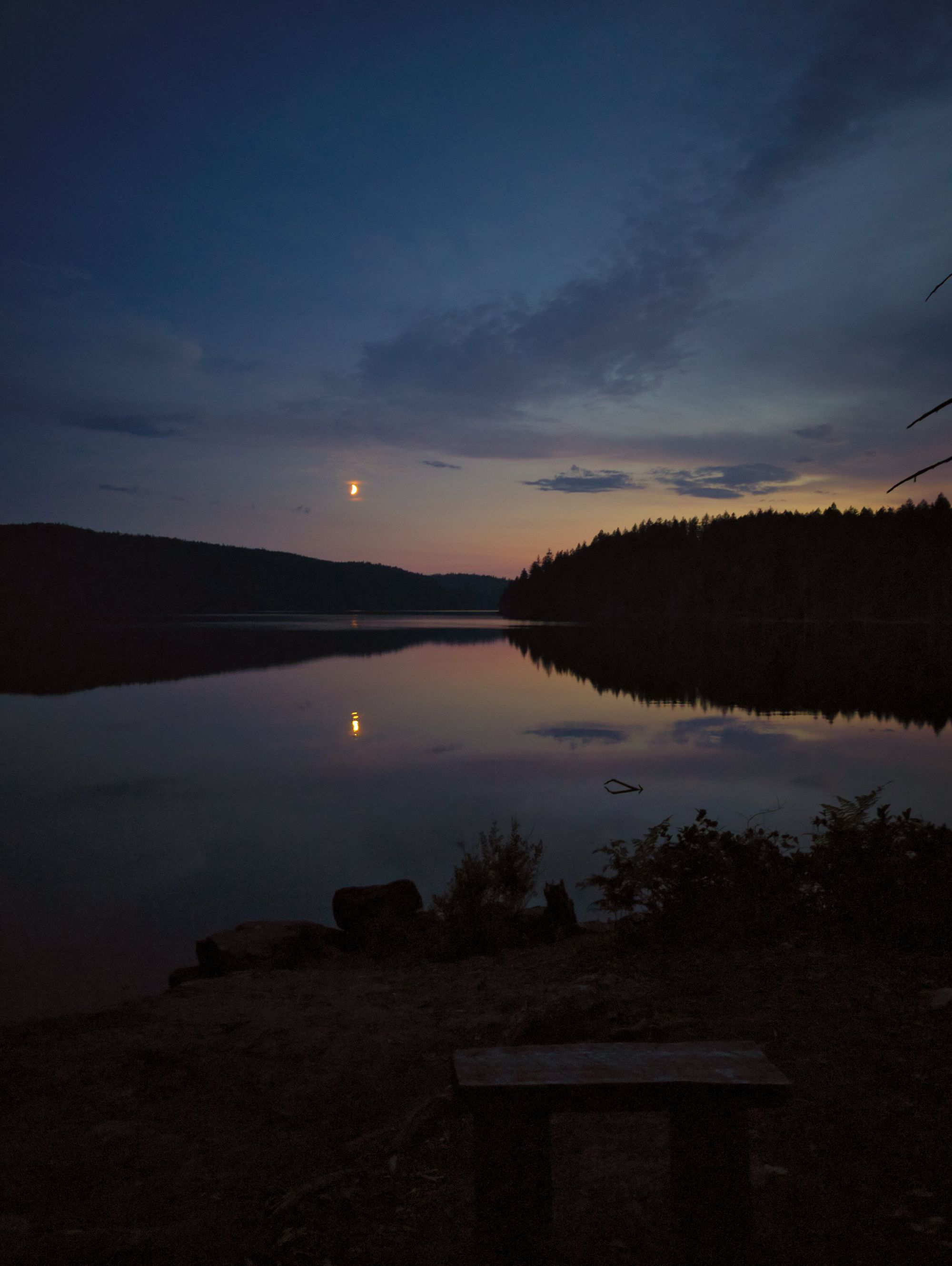
We enjoyed eating our homemade sweet potato peanut stew at the lake’s edge before taking a lovely and much-needed swim/rinse. We watched the sun set from a bench by the lake and were in bed by 9:00PM. The darkness of the forested campground was very appreciated for sleeping. We awoke to a few raindrops on the tent in the middle of the night but otherwise had a peaceful and uninterrupted sleep.
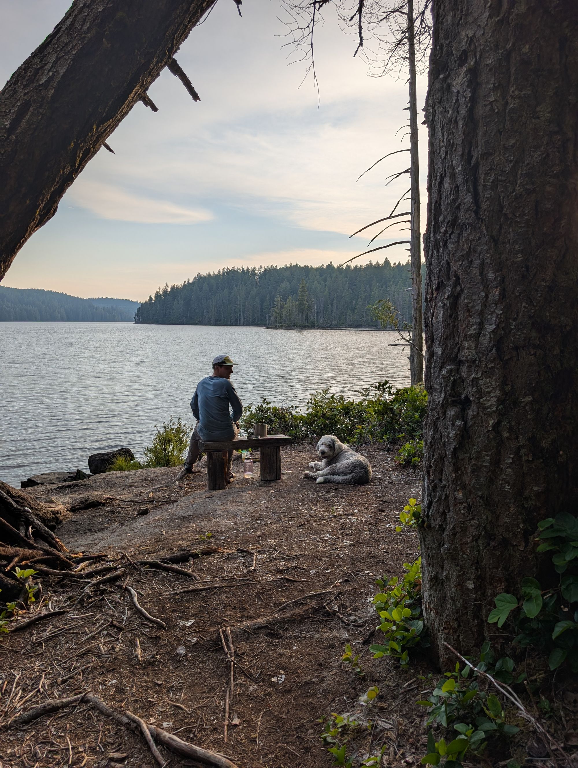
Sliammon Lake / Kokanee Creek Camp
Large campsite area, room for probably 6 tents and maybe more if you get creative.
2 picnic tables; traditional outhouse; great swimming; no bear cache.
Water source: yes (lake + creek).
FAQ/General Trail Information
SCT Day 1: Sarah Point to Manzanita Bluff
SCT Day 3: Sliammon Lake to Haywire Bay