Mount Myra
One of the most boring-access hikes in Strathcona Park leads to one of the best summit views on Vancouver Island. Mount Myra is certainly a summit to see as a day hike or easy overnighter!
Route Outline
| Difficulty | Easy |
|---|---|
| Synopsis | One of the worst starts to a hike we've done in Strathcona Park turned into one of the best summits. Following a gravel road and then a cat track for half the distance on this hike was less than enjoyable, but the lovely Tennent and Sandbag Lakes and the stunning 360 degree views from the summit more than made up for it. An easy 2-day hike, this is one of our favourite peaks in Strathcona so far. |
| Getting There | From Campbell River, follow Highway 28 towards Gold River for approx 47km. Continue straight onto Westmin Rd and follow for another 38km until you reach the mine. Drive straight through the mine (obeying all signs) to the small, signed BC Parks parking lot. The trail begins on the gravel road with the yellow gate on the left-hand side of the road. |
| Facilities | A single outhouse at the trailhead, no facilities on the trail. |
| Fees | None. |
July 18-19, 2020
Hikers: Ryan, Katie, Danny
Trip Report
Day 1
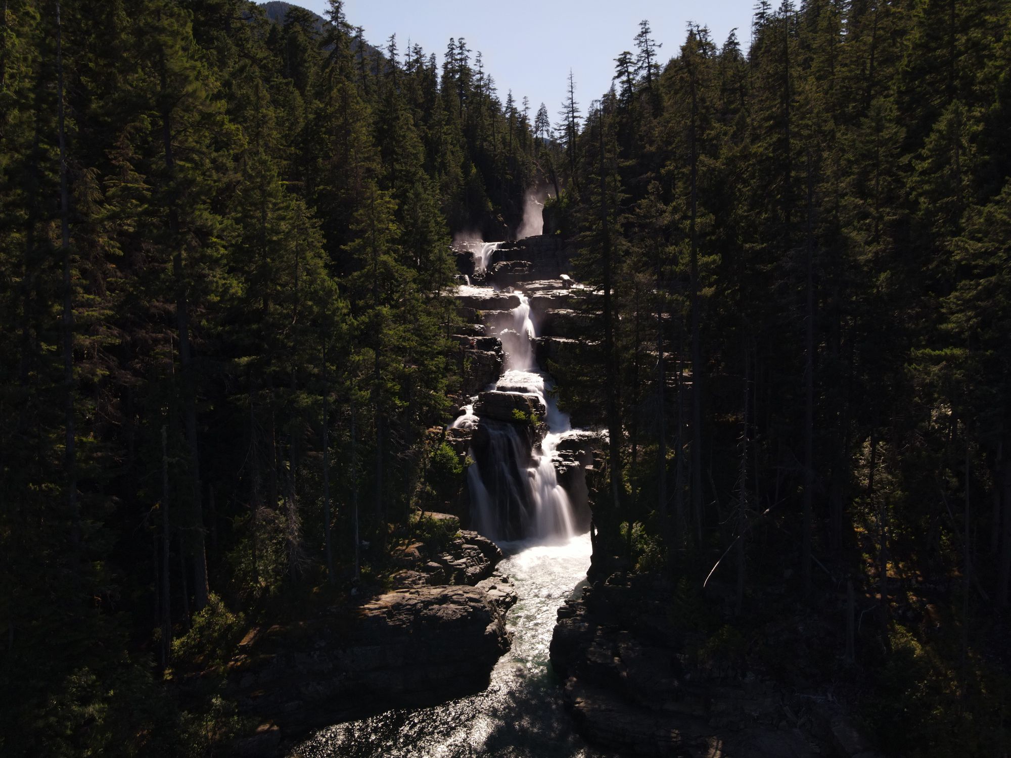
On our way to the Mount Myra trailhead, we decided to take a stop at Lower Myra Falls since neither of us had ever been to check it out. The recreation area is well-marked by a standard wooden Parks sign pointing down a short (100m) gravel road. When we arrived in the early afternoon the parking lot was nearly full. We packed our lunches down the approximately 1km path to the water. Unsurprisingly, the falls were packed on this gorgeous Saturday afternoon, limiting our ability to launch the drone for aerial photography. We checked out both the upper and lower sections of the falls, and then headed back to the car to head towards the trailhead, shared with Phillips Ridge (Arnica) and Upper Myra Falls.
Since the Mount Myra trail starts in the middle of an active mine, Nyrstar's Myra Falls Mine, all hikers are required to check in at the mine entrance gate. After completing our check-in, we drove through the mine to the trailhead. The parking lot was packed again, but we found parking and sorted our bags. At 1:30pm we hit the trail!
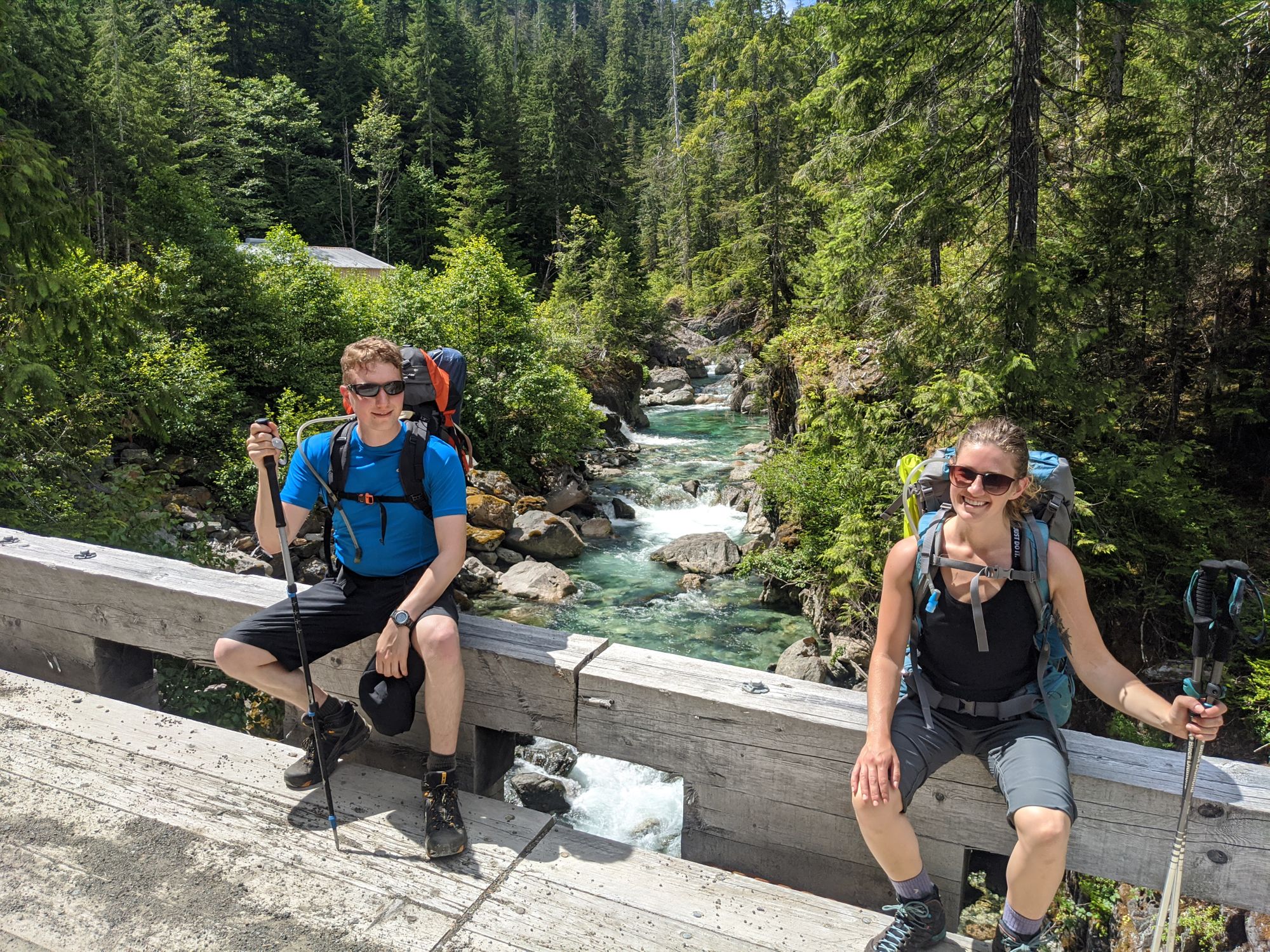
The trail started off as an access road leading to the mine's hydroelectric dam. After a few kilometers of uninspiring gravel road (passing by the access trail to Upper Myra Falls) we reached a lovely bridge crossing Myra Creek. The beautiful green water was flowing quickly over the small drops, creating enough noise to almost drown out the noise of hydroelectric machinery nearby.
Almost immediately after the bridge, the trail ducked left off the road and the dreaded cat track began. Historically an access road to the dam at Tennent Lake, disuse has the track being slowly reclaimed by the forest. The trail was well maintained though, with all the deadfall we passed having been cleared or cut.
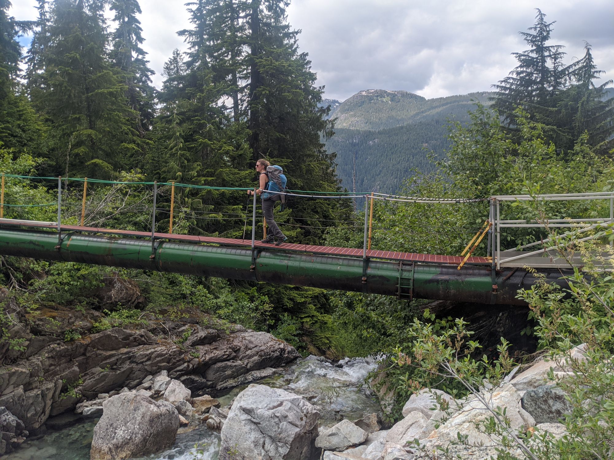
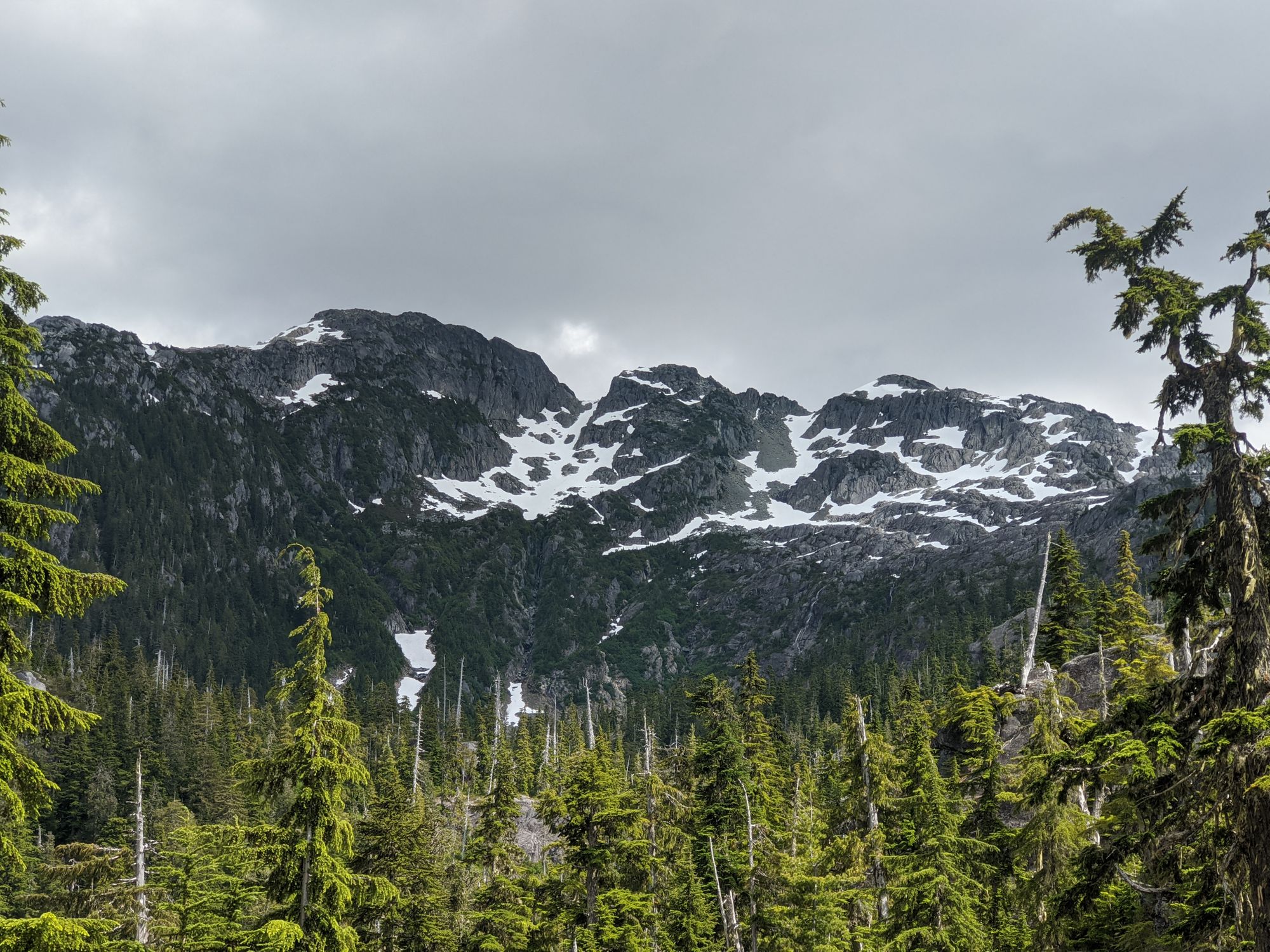
The cat track plodded steadily upwards through the trees, foregoing the usual Strathcona Park switchbacks to forge a direct path to the lake. Similarly to the gravel road before, this part of the trail had little in the way of views until we got higher and started to clear the slopes around us. The first sight came around 3:00pm - a bridge cutting over Tennent Creek. Despite being able to hear the creek almost the entire way up, this was our first sight of it. We crossed over the pipeline bridge and continued the upward slog. Our first views of Mount Myra appeared shortly afterwards to our left, a great vista of both the main summit and two lower steps.
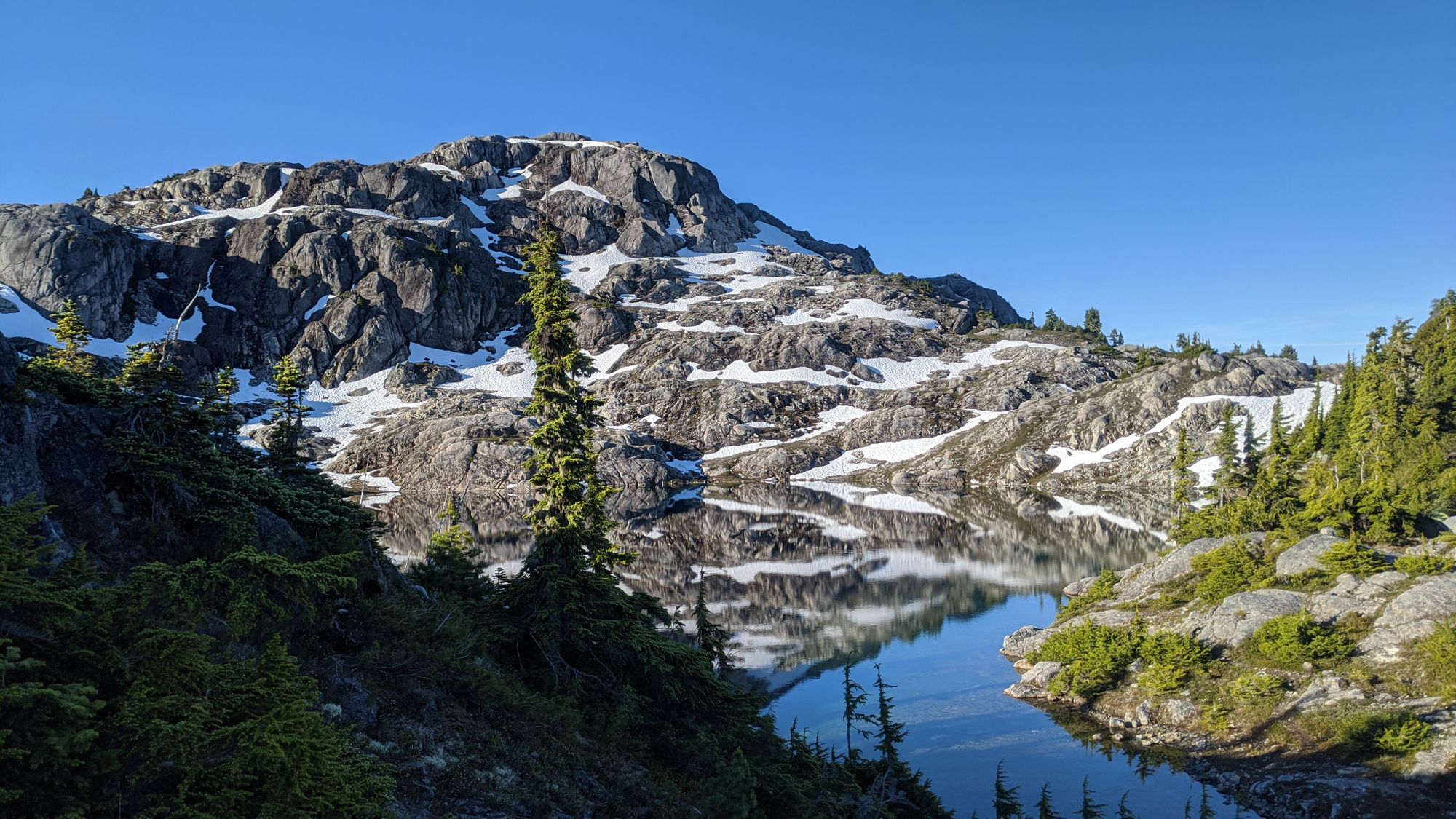
We arrived at Tennent Lake at 3:30pm, climbing up over the back of the dam. The picturesque lake, flanked on all sides by Strathcona alpine, was a lovely spot to pack down for a rest and refill water bottles. Five tents stood on the small peninsula, and it was a good thing we hadn't planned to camp there because there was not much room left.
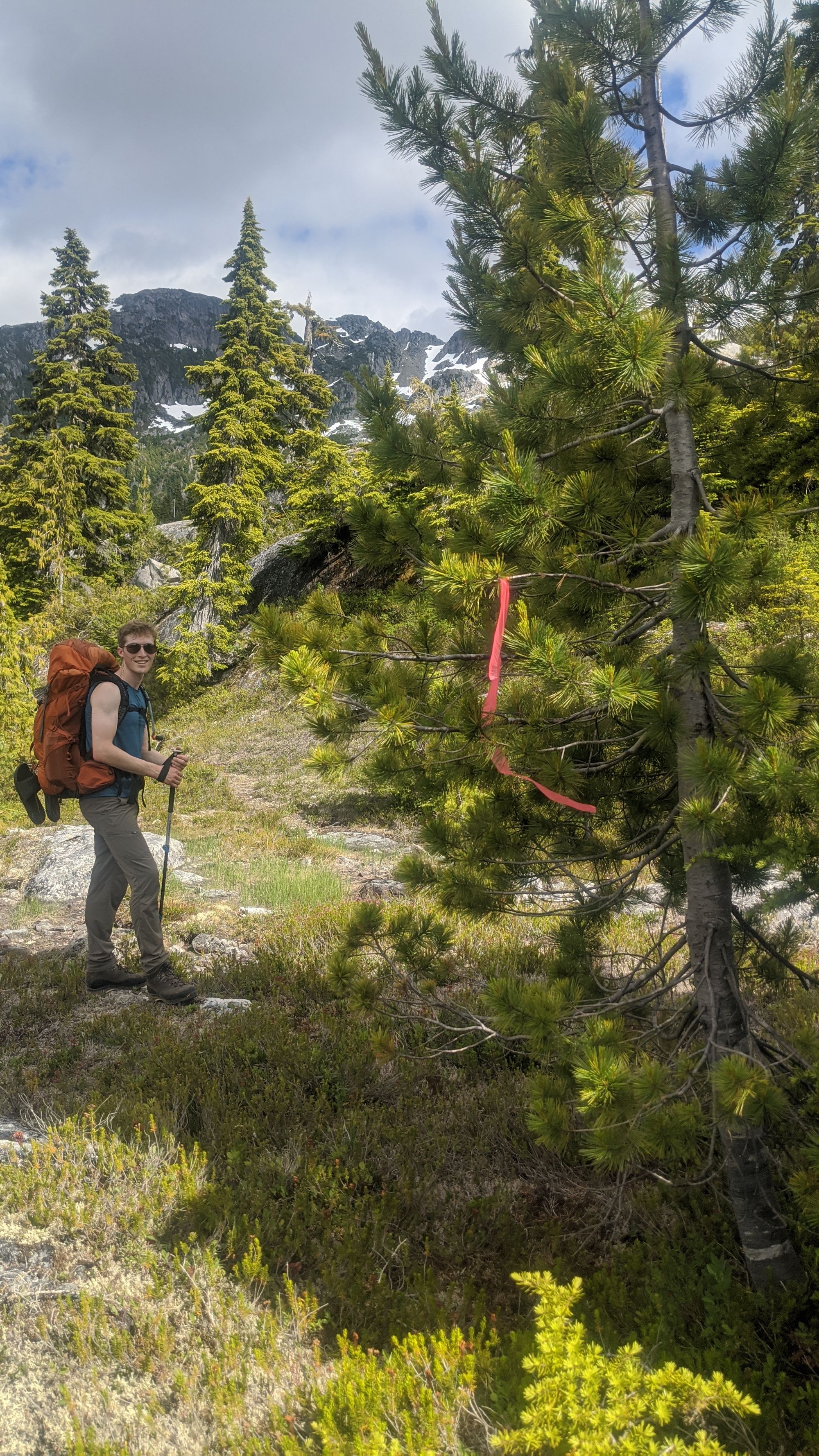
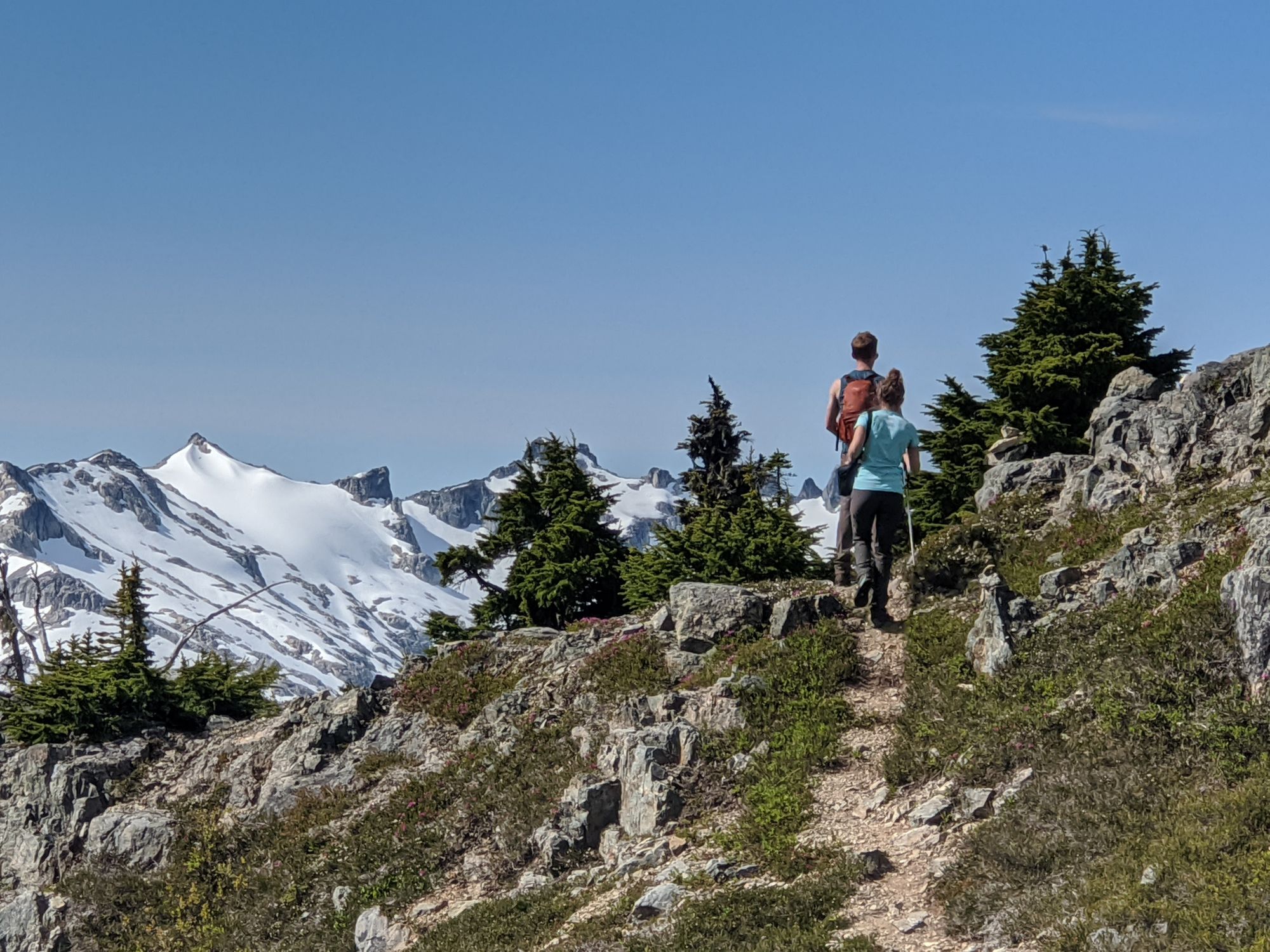
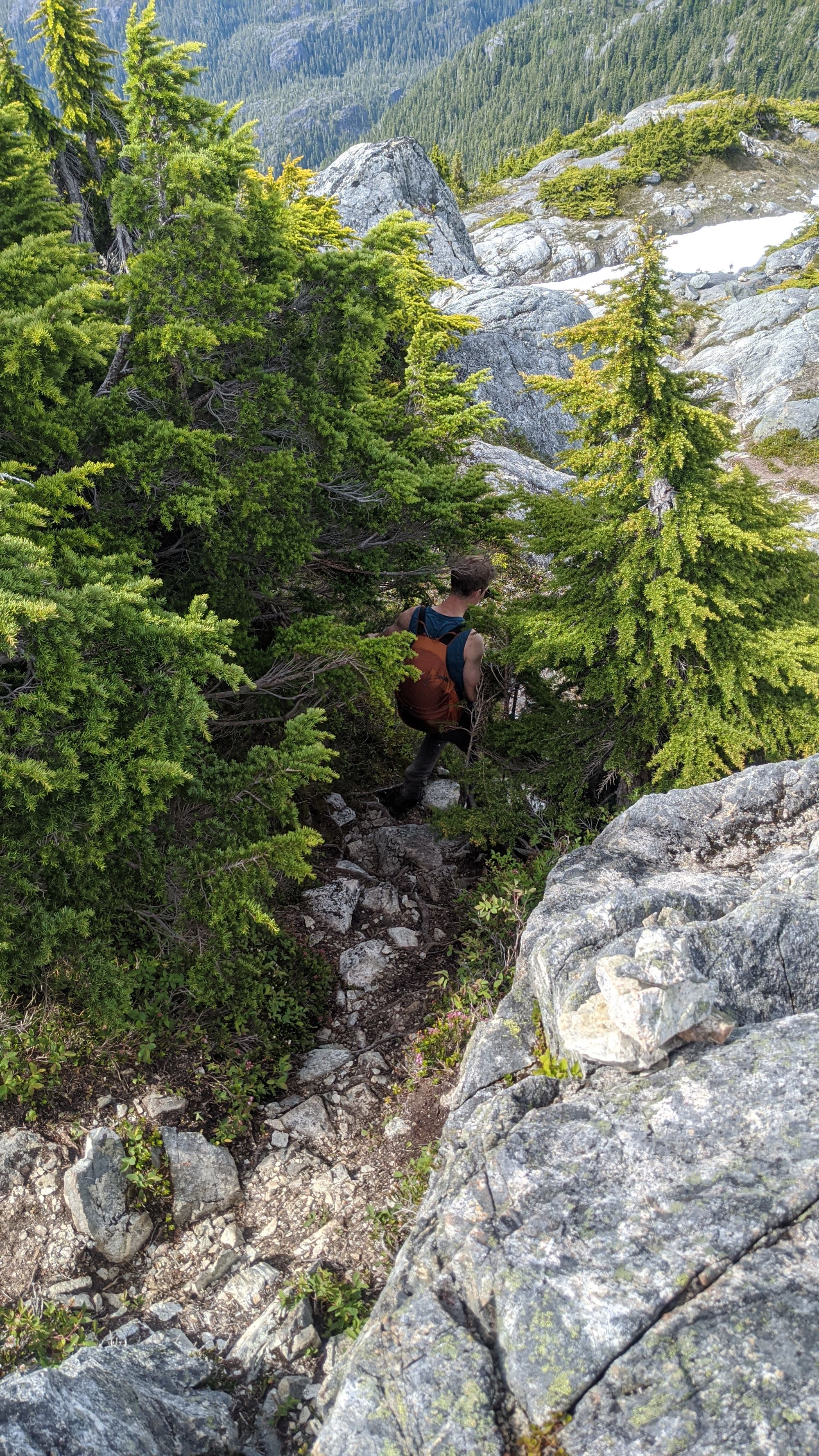
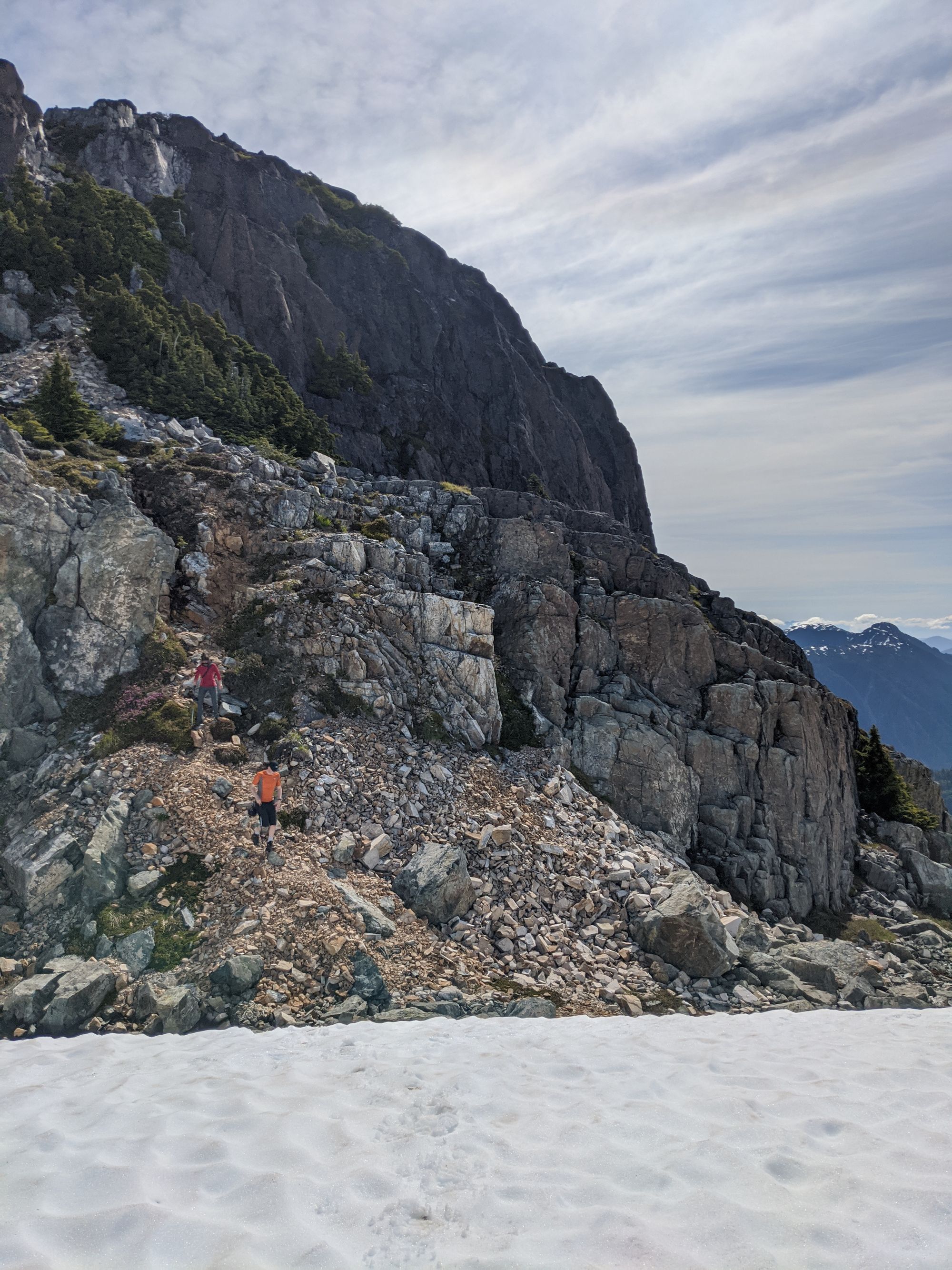
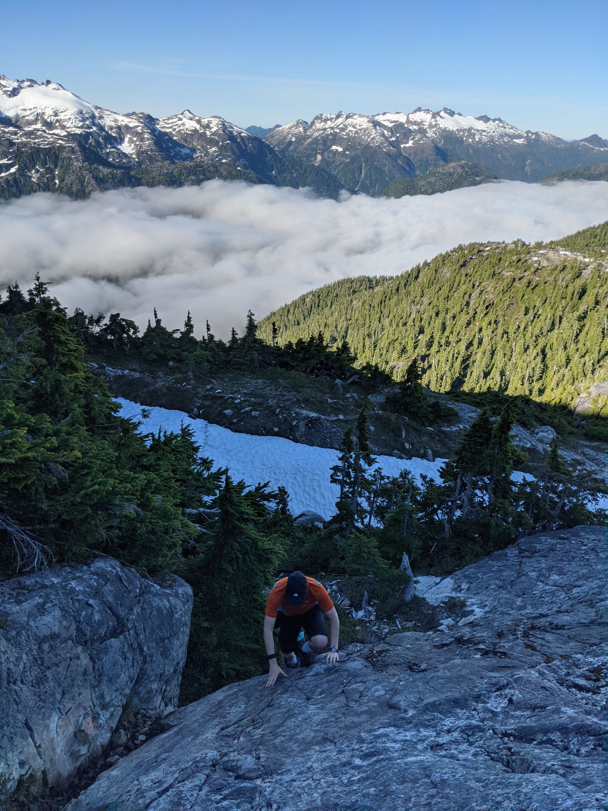
Nearly an hour later we turned away from the lake and the real trail began. A well-flagged and cairned route led eastward, advancing towards the southwest ridge of Mount Myra. With a relatively flat start, the trail soon changed into a near Class 4 scramble at times as we mounted the ridgeline. The next few hundred meters went quickly, and we soon found ourselves looking down from the ridge, high above sparkling Tennent Lake.
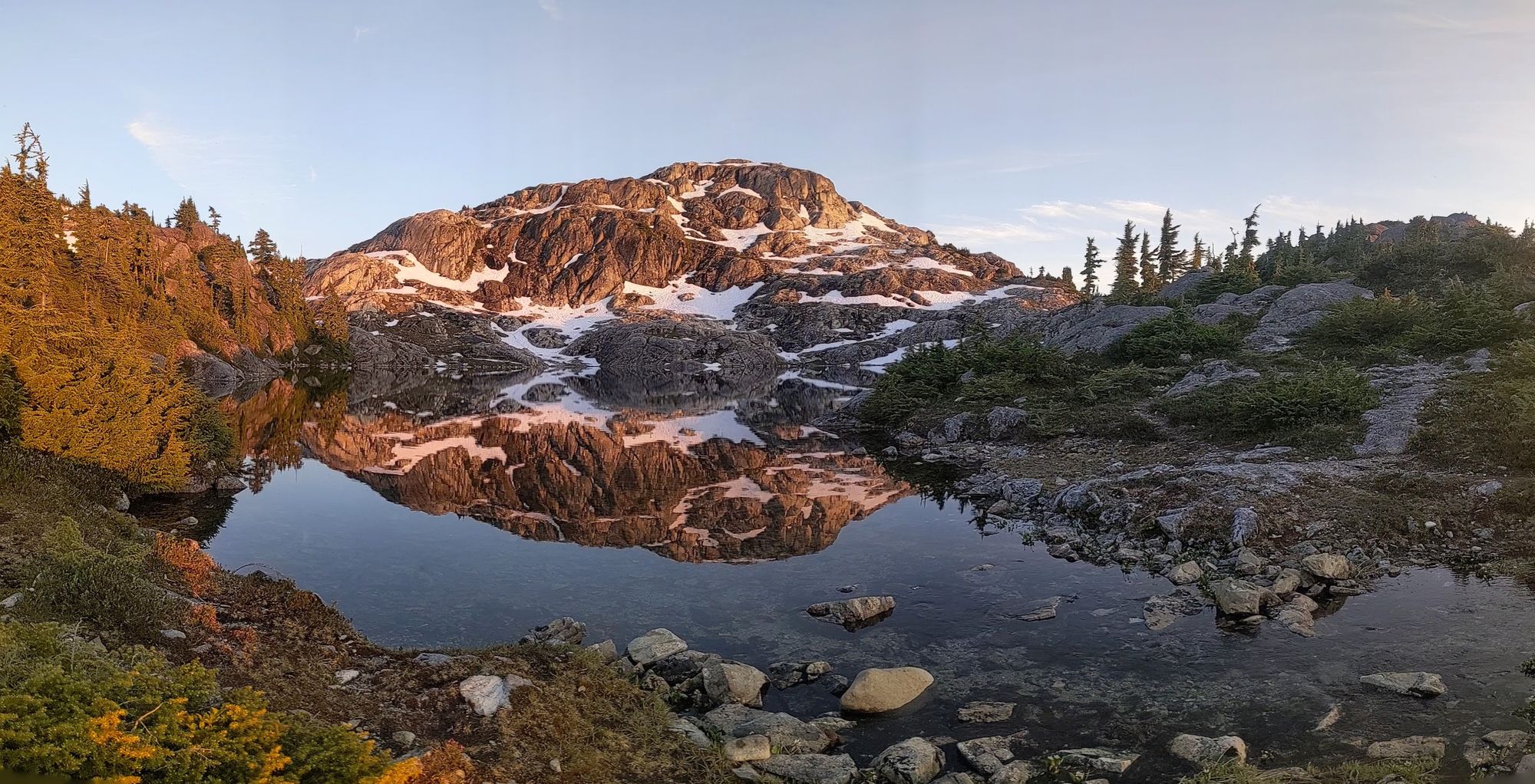
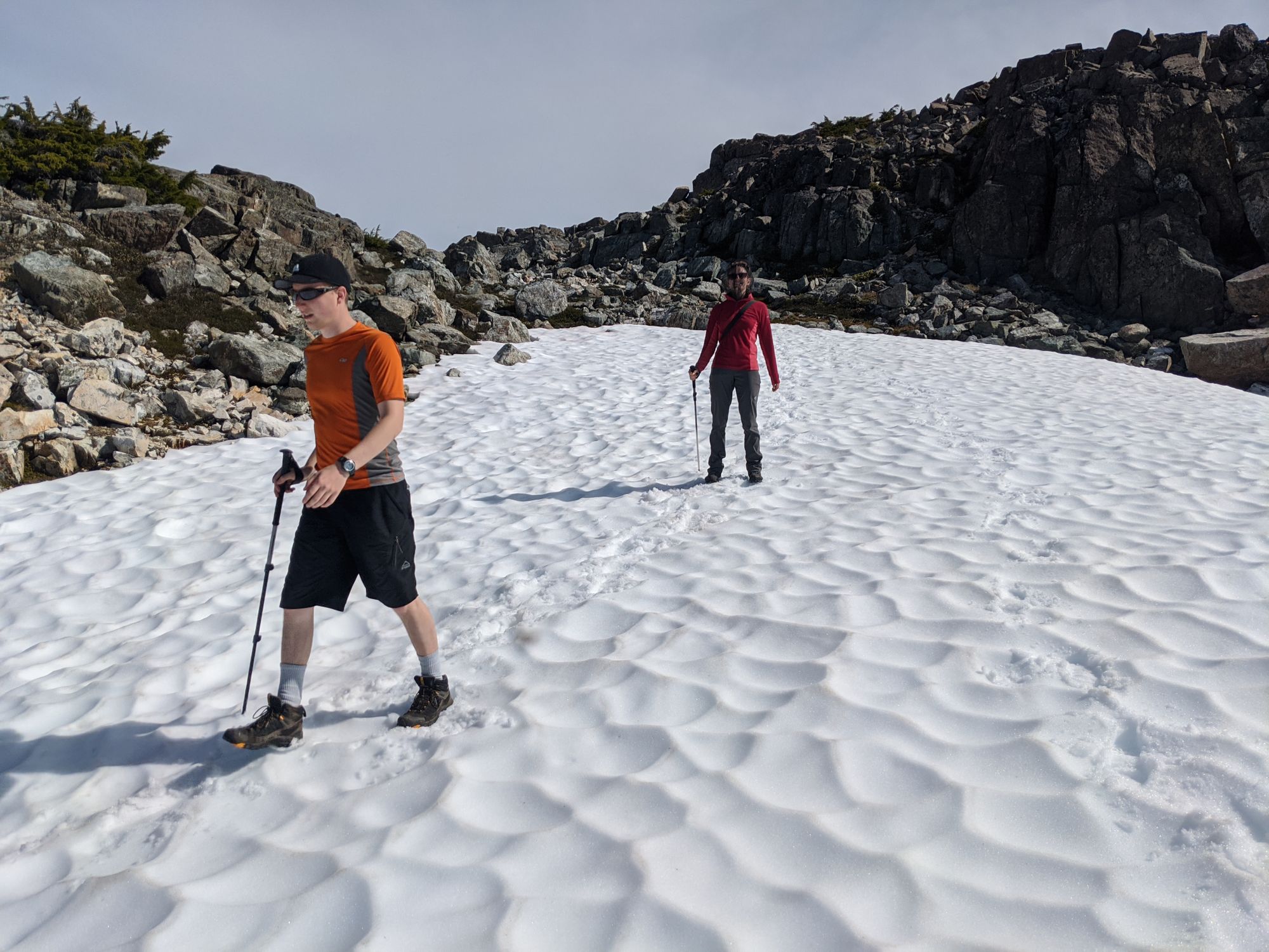
Continuing our climb, the lake slowly disappeared below us. The trail kept us on our toes - some sections winding smoothly around sub-alpine ponds followed by sudden and steep gullies that required a hand or both to climb. After a few such gullies, we were in the proper sub-alpine, snowfields beginning to dot the landscape and travel quickly becoming easier. A little after 6:00pm we were finally rewarded for our efforts when Sandbag Lake hoved into view. We found a couple of tarns beside the outflow of the lake, the water burbling over the rocks towards the valley below.
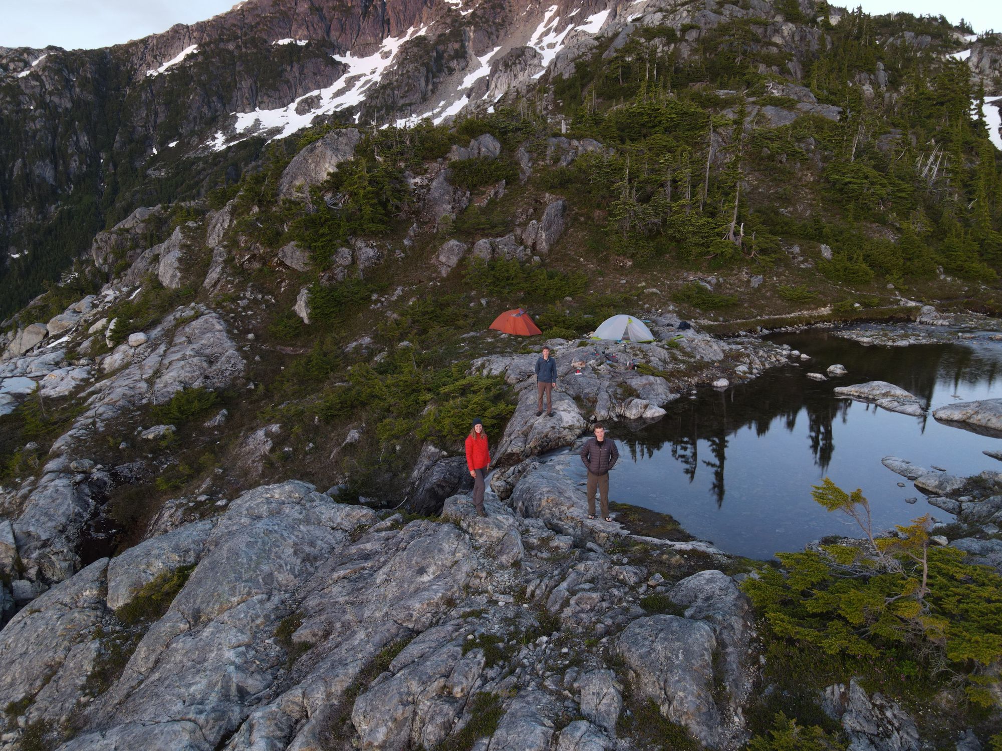
As we set up camp, we soon realized that we had forgotten probably the most critical piece of gear for this trip: bug spray. The mosquitoes attacked in droves, forcing us to quickly layer up to stave off the swarms. Luckily an evening wind came to our salvation and blew the bugs away.
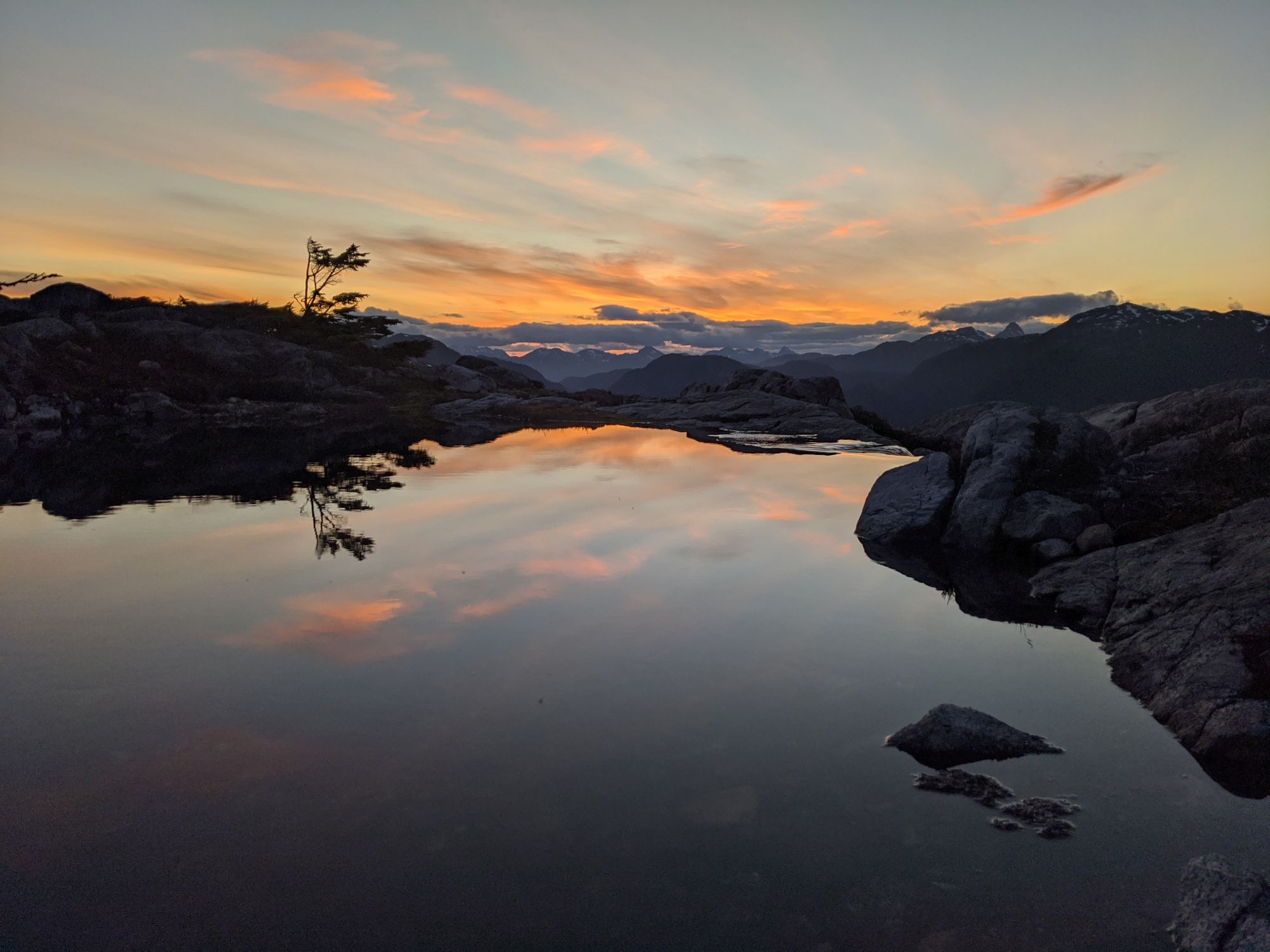
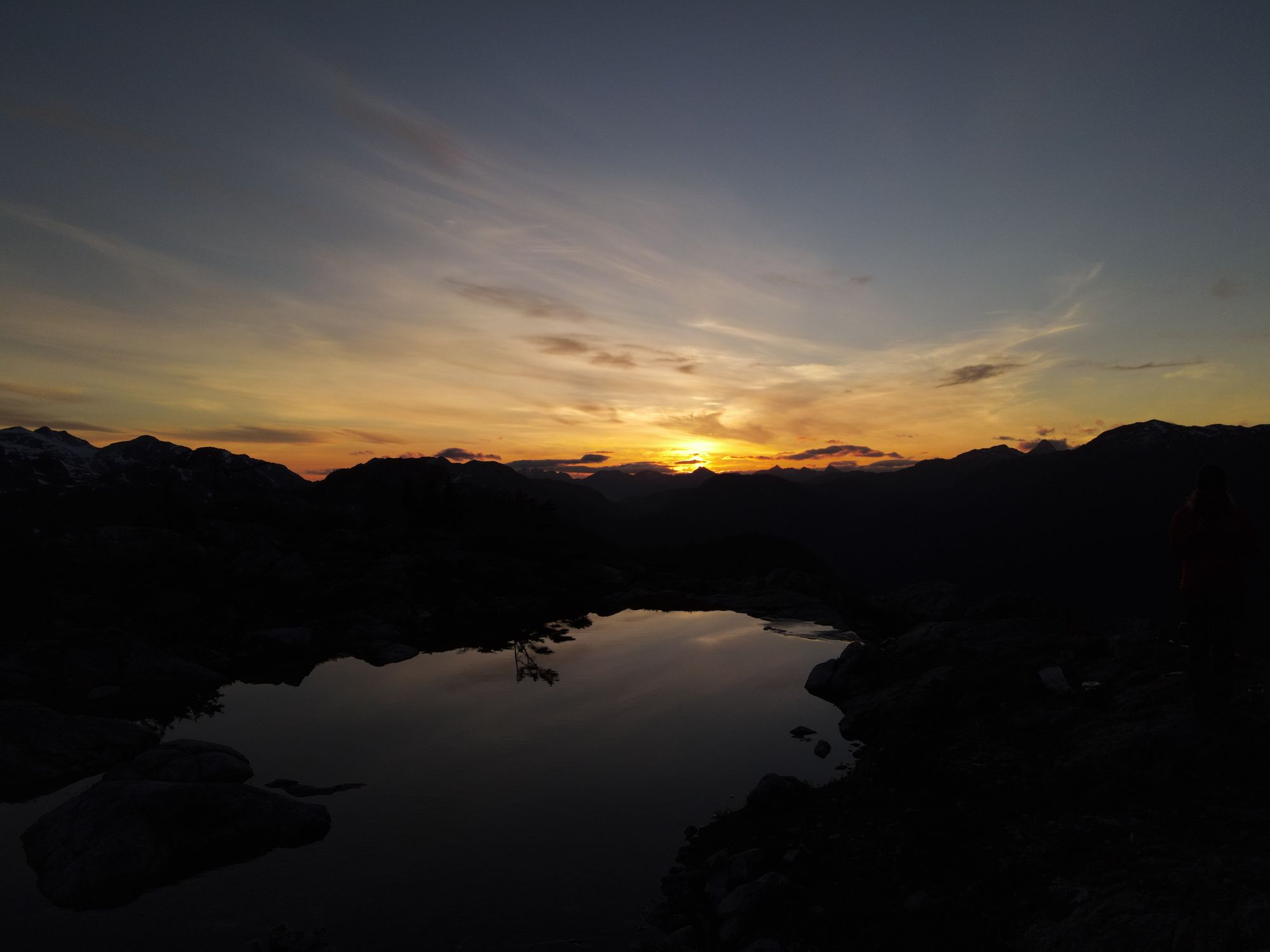
The rest of the evening went quickly. We ate a quick dinner and watched the sun go down, reveling in the golden hour beauty. Sadly, as the sun disappeared so did the wind, forcing us to retire early to escape the mosquitoes. But we would need the sleep anyways - we planned an early start to watch the sunrise and hit the summit the next day.
Day 2
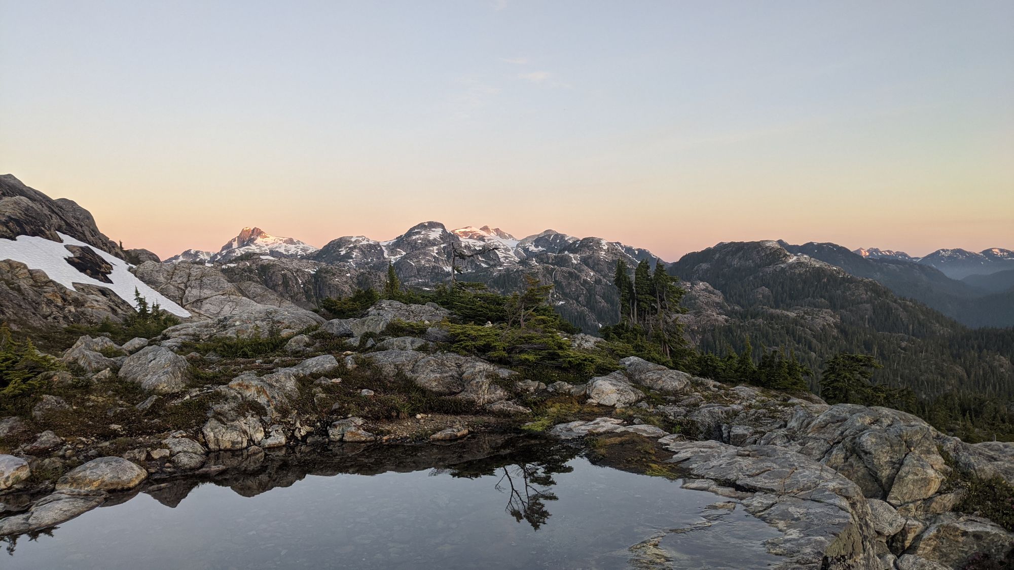
We awoke at 5:45am to a gorgeous sunrise that lit up the surrounding snow-capped mountains in pink. The still air was great for flying the drone, but allowed the mosquitoes to swarm us worse than the night before. Once we were satisfied with our sunrise photos, we dove back into the tent to eat breakfast in safety.
After breakfast we packed up camp and stashed our backpacks out of the way so we could hike to the summit with just a day pack. It was wonderful to get the weight down for summit day!
We left Sandbag Lake at 7:40am, following a somewhat flagged and cairned route through the alpine.
We reached the summit less than two hours after our start and had it all to ourselves - except for the mosquitoes of course.
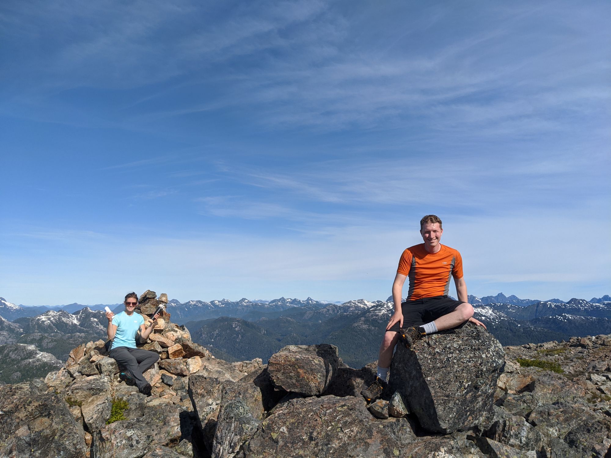
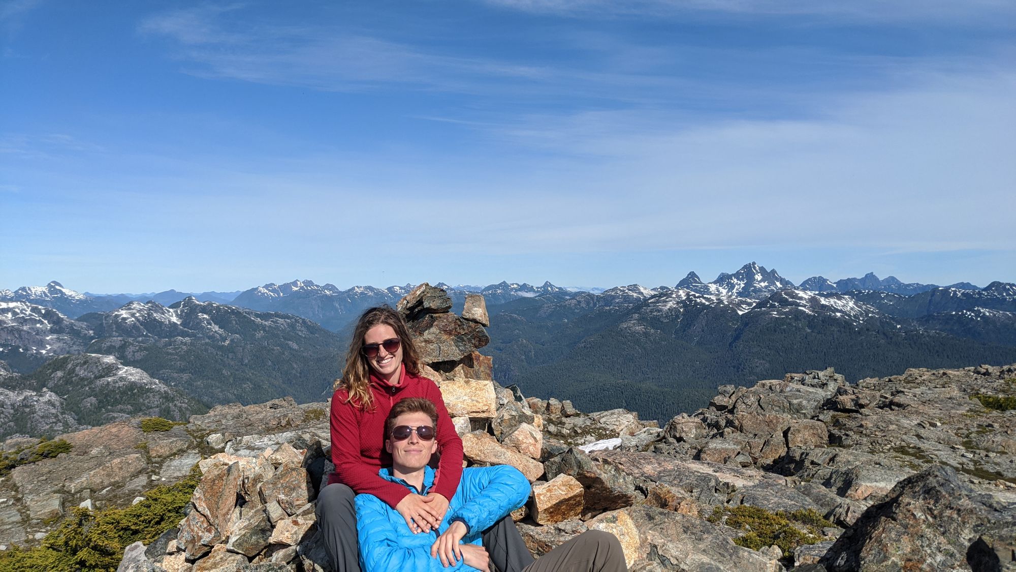
After about 45 minutes swatting bugs on the summit, we had had enough and began our hike down. We mainly retraced our steps exactly, except for when we got much closer to Sandbag Lake and followed a different trail that forced us to skirt around a steep edge of the lake to get back to our bags. Once reunited with our belongings, we reattached Ryan's day-pack and scrambled to get a move on so we could get away from the bugs, departing the lake just before noon.
The descent, while quicker than our climb the day before, still required care to navigate the couple of steeper gullies. With the ever-present mosquitoes motivating us to keep moving, we made it back to Tennent Lake in just over an hour.
With the previous day's campers having already departed, we had the lake to ourselves and took the opportunity for a cooling dip.
Refreshed from our swim in the lake and a yummy tuna sandwich lunch, we began the slog back down the cat track. We were able to hike from the lake all the way back to the car at a relaxed pace, the mosquitoes not willing to follow us along the cat track. Despite the hike down being significantly easier, with the hot sun beating down on us we were more than ready for another swim by the time we got to the bottom. However, since it was already late in the afternoon and we wanted to get home, an ice cream in Campbell River was the best we could do.
